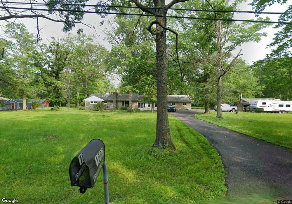
1007 Forrest Rd Sellersville, PA 18960
Estimated Value: $489,000 - $640,000
4
Beds
2
Baths
1,745
Sq Ft
$307/Sq Ft
Est. Value
About This Home
This home is located at 1007 Forrest Rd, Sellersville, PA 18960 and is currently estimated at $535,326, approximately $306 per square foot. 1007 Forrest Rd is a home located in Bucks County with nearby schools including Pennridge High School and Community Service Foundation.
Ownership History
Date
Name
Owned For
Owner Type
Purchase Details
Closed on
Apr 20, 2010
Sold by
Benson Patricia
Bought by
Baughman Darrin and Baughman Sharon
Current Estimated Value
Home Financials for this Owner
Home Financials are based on the most recent Mortgage that was taken out on this home.
Original Mortgage
$341,250
Outstanding Balance
$227,284
Interest Rate
5%
Mortgage Type
VA
Estimated Equity
$308,042
Purchase Details
Closed on
Dec 12, 1968
Bought by
Benson Robert and Benson Patricia
Create a Home Valuation Report for This Property
The Home Valuation Report is an in-depth analysis detailing your home's value as well as a comparison with similar homes in the area
Home Values in the Area
Average Home Value in this Area
Purchase History
| Date | Buyer | Sale Price | Title Company |
|---|---|---|---|
| Baughman Darrin | $349,000 | None Available | |
| Benson Robert | -- | -- |
Source: Public Records
Mortgage History
| Date | Status | Borrower | Loan Amount |
|---|---|---|---|
| Open | Baughman Darrin | $341,250 |
Source: Public Records
Tax History Compared to Growth
Tax History
| Year | Tax Paid | Tax Assessment Tax Assessment Total Assessment is a certain percentage of the fair market value that is determined by local assessors to be the total taxable value of land and additions on the property. | Land | Improvement |
|---|---|---|---|---|
| 2025 | $6,594 | $38,800 | $10,560 | $28,240 |
| 2024 | $6,594 | $38,800 | $10,560 | $28,240 |
| 2023 | $6,517 | $38,800 | $10,560 | $28,240 |
| 2022 | $6,517 | $38,800 | $10,560 | $28,240 |
| 2021 | $6,517 | $38,800 | $10,560 | $28,240 |
| 2020 | $6,517 | $38,800 | $10,560 | $28,240 |
| 2019 | $6,478 | $38,800 | $10,560 | $28,240 |
| 2018 | $6,478 | $38,800 | $10,560 | $28,240 |
| 2017 | $6,429 | $38,800 | $10,560 | $28,240 |
| 2016 | $6,429 | $38,800 | $10,560 | $28,240 |
| 2015 | -- | $38,800 | $10,560 | $28,240 |
| 2014 | -- | $38,800 | $10,560 | $28,240 |
Source: Public Records
Map
Nearby Homes
- 0 Tower Rd
- 309 Mountain View Rd
- 214 Gameland Rd
- 1305 Ridge Valley Rd
- 18B Kittery Ct
- 220 Green Top Rd
- 316 Washington Ave
- 132 W Branch Rd
- 1200 Jordan Ln
- 1002 Cathill Rd
- 1212 Jordan Ln
- 497 Roeder Ln
- 224 Washington Ave
- 1205 Jordan Ln
- 80 S County Line Rd
- Newhaven Grand Plan at Green Ridge Estates West
- Sutton Plan at Green Ridge Estates West
- 414 S Ridge Rd
- Barclay Plan at Green Ridge Estates West
- Worthington Plan at Green Ridge Estates West
- 1015 Forrest Rd
- 1035 Forrest Rd
- 431 Ridge Valley Rd
- 407 Ridge Valley Rd
- 80 Tower Rd
- 510 Ridge Valley Rd
- 105 Tower Rd
- 430 Ridge Valley Rd
- 35 Tower Rd
- 98 Tower Rd
- 530 Ridge Valley Rd
- 911 Forrest Rd
- 21 Tower Rd
- 115 Tower Rd
- 522a Ridge Valley Rd
- 522 Ridge Valley Rd
- 1408 Lawn Ave
- 116 Tower Rd
- 7 Tower Rd
- 536 Ridge Valley Rd