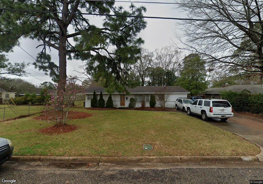
1007 Highpoint Rd Montgomery, AL 36109
East Montgomery NeighborhoodEstimated Value: $160,286 - $198,000
Studio
--
Bath
2,089
Sq Ft
$86/Sq Ft
Est. Value
About This Home
This home is located at 1007 Highpoint Rd, Montgomery, AL 36109 and is currently estimated at $180,072, approximately $86 per square foot. 1007 Highpoint Rd is a home located in Montgomery County with nearby schools including Dalraida Elementary School, Goodwyn Middle School, and Dr. Percy L. Julian High School.
Ownership History
Date
Name
Owned For
Owner Type
Purchase Details
Closed on
Mar 6, 2019
Sold by
Conrex Master Llc
Bought by
Conrex Res Prop Group 2016 03 Operating
Current Estimated Value
Home Financials for this Owner
Home Financials are based on the most recent Mortgage that was taken out on this home.
Original Mortgage
$130,000,000
Outstanding Balance
$114,060,209
Interest Rate
4.4%
Mortgage Type
Purchase Money Mortgage
Estimated Equity
-$113,880,137
Purchase Details
Closed on
Aug 28, 2018
Sold by
That Green In Common Llc
Bought by
Conrex Master Llc
Purchase Details
Closed on
Jan 19, 2012
Sold by
Wells Fargo Bank N A
Bought by
Green In Common Llc
Purchase Details
Closed on
Jul 6, 2011
Sold by
Greene Ruth M
Bought by
Wells Fargo Bank N A
Create a Home Valuation Report for This Property
The Home Valuation Report is an in-depth analysis detailing your home's value as well as a comparison with similar homes in the area
Home Values in the Area
Average Home Value in this Area
Purchase History
| Date | Buyer | Sale Price | Title Company |
|---|---|---|---|
| Conrex Res Prop Group 2016 03 Operating | $449,000 | None Available | |
| Conrex Master Llc | $107,000 | None Available | |
| Green In Common Llc | -- | None Available | |
| Wells Fargo Bank N A | $47,087 | None Available |
Source: Public Records
Mortgage History
| Date | Status | Borrower | Loan Amount |
|---|---|---|---|
| Open | Conrex Res Prop Group 2016 03 Operating | $130,000,000 |
Source: Public Records
Tax History
| Year | Tax Paid | Tax Assessment Tax Assessment Total Assessment is a certain percentage of the fair market value that is determined by local assessors to be the total taxable value of land and additions on the property. | Land | Improvement |
|---|---|---|---|---|
| 2025 | $1,593 | $32,620 | $4,500 | $28,120 |
| 2024 | $1,496 | $30,640 | $4,500 | $26,140 |
| 2023 | $1,496 | $28,480 | $4,500 | $23,980 |
| 2022 | $921 | $25,240 | $4,500 | $20,740 |
| 2021 | $807 | $22,100 | $4,500 | $17,600 |
| 2020 | $807 | $22,100 | $4,500 | $17,600 |
| 2019 | $784 | $21,480 | $4,500 | $16,980 |
| 2018 | $750 | $20,540 | $0 | $0 |
| 2017 | $737 | $20,180 | $4,500 | $15,680 |
| 2014 | $744 | $20,380 | $5,000 | $15,380 |
| 2013 | -- | $19,680 | $5,000 | $14,680 |
Source: Public Records
Map
Nearby Homes
- 1013 Highpoint Rd
- 3412 Woodhill Rd
- 3533 Princess Ann Ct
- 3556 Prince George Dr
- 913 Hillman St
- 732 Whitehall Pkwy
- 1547 Pine Ridge Rd
- 3519 Dalraida Ct
- 1387 Pine Ridge Rd
- 1218 Hillman St
- 1348 Hillman St
- 925 Green Forest Dr
- 3543 Dalraida Ct
- 713 Sweeten Creek Rd
- 932 Green Forest Dr
- 1312 Hillman St
- 3338 Biltmore Ave
- 3706 Princess Ann St
- 3513 Mayfair Rd
- 1237 Edgeworth Dr
- 1007 High Point Rd
- 1001 Highpoint Rd
- 3435 Prince George Dr
- 3448 Royal Crest Dr
- 3503 Prince George Dr
- 3324 Stratton Ct
- 1012 Highpoint Rd
- 3423 Prince George Dr
- 3330 Stratton Ct
- 3509 Prince George Dr
- 3490 Prince George Dr
- 926 Highpoint Rd
- 3434 Prince George Dr
- 3508 Royal Crest Dr
- 3316 Stratton Ct
- 3419 Prince George Dr
- 3447 Royal Crest Dr
- 3428 Prince George Dr
- 3515 Prince George Dr
- 3508 Prince George Dr
Your Personal Tour Guide
Ask me questions while you tour the home.