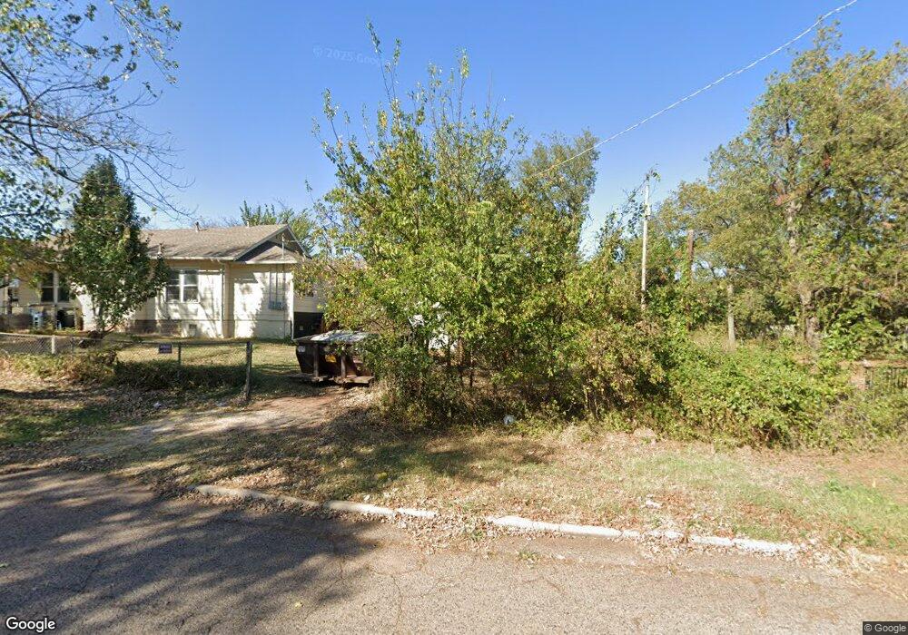
1007 N Bdwy Shawnee, OK 74801
Estimated Value: $69,000 - $132,000
3
Beds
1
Bath
1,498
Sq Ft
$71/Sq Ft
Est. Value
About This Home
This home is located at 1007 N Bdwy, Shawnee, OK 74801 and is currently estimated at $106,322, approximately $70 per square foot. 1007 N Bdwy is a home with nearby schools including Sequoyah Elementary School, Shawnee Middle School, and Shawnee High School.
Ownership History
Date
Name
Owned For
Owner Type
Purchase Details
Closed on
Oct 30, 2024
Sold by
405 Equity Llc
Bought by
Hohne Jeffrey and Hohne Cassandra Leanne
Current Estimated Value
Home Financials for this Owner
Home Financials are based on the most recent Mortgage that was taken out on this home.
Original Mortgage
$128,200
Interest Rate
6.12%
Mortgage Type
Construction
Purchase Details
Closed on
Oct 4, 2002
Sold by
Larson George and Mary Elle
Bought by
Parsons David and Don Busho
Purchase Details
Closed on
Nov 26, 1997
Sold by
Dudley Robert and Dudley Roberta
Bought by
Larson George and Larson Mary
Create a Home Valuation Report for This Property
The Home Valuation Report is an in-depth analysis detailing your home's value as well as a comparison with similar homes in the area
Purchase History
| Date | Buyer | Sale Price | Title Company |
|---|---|---|---|
| Hohne Jeffrey | $87,500 | Closed Llc | |
| Hohne Jeffrey | $87,500 | Closed Llc | |
| 405 Equity Llc | $73,000 | Closed Llc | |
| Parsons David | $44,000 | -- | |
| Larson George | $27,000 | -- |
Source: Public Records
Mortgage History
| Date | Status | Borrower | Loan Amount |
|---|---|---|---|
| Closed | Hohne Jeffrey | $128,200 |
Source: Public Records
Tax History
| Year | Tax Paid | Tax Assessment Tax Assessment Total Assessment is a certain percentage of the fair market value that is determined by local assessors to be the total taxable value of land and additions on the property. | Land | Improvement |
|---|---|---|---|---|
| 2025 | $610 | $10,500 | $294 | $10,206 |
| 2024 | $589 | $5,924 | $294 | $5,630 |
| 2023 | $589 | $5,642 | $294 | $5,348 |
| 2022 | $579 | $5,642 | $294 | $5,348 |
| 2021 | $580 | $5,759 | $294 | $5,465 |
| 2020 | $596 | $5,895 | $294 | $5,601 |
| 2019 | $630 | $6,030 | $294 | $5,736 |
| 2018 | $602 | $5,884 | $294 | $5,590 |
| 2017 | $605 | $5,991 | $294 | $5,697 |
| 2016 | $617 | $6,046 | $294 | $5,752 |
| 2015 | $578 | $5,774 | $269 | $5,505 |
| 2014 | $550 | $5,499 | $246 | $5,253 |
Source: Public Records
Map
Nearby Homes
- 824 N Union Ave
- 1102 N Park Ave
- 1207 N Beard Ave
- 434 E Wallace St
- 204 W Wallace St
- 1309 N Broadway Ave
- 709 N Broadway Ave
- 641 N Broadway Ave
- 1108 N Pennsylvania Ave
- 731 N Kickapoo Ave
- 307 N Louisa Ave
- 506 N Louisa Ave
- 706 N Louisa Ave
- 636 N Market Ave
- 1432 N Park Ave
- 1002 Jefferson Place
- 1510 N Union Ave
- 128 W Ridgewood St
- 0 Independence and Minnesota St
- 545 W Poplar St
- 1001 N Bdwy Ave
- 1009 N Bdwy
- 1021 N Broadway Ave
- 1017 N Broadway Ave
- 1009 N Broadway Ave
- 1007 N Broadway Ave
- 16 E Burns St
- 23 E Burns St
- 1011 N Bdwy Ave
- 1015 N Bdwy Ave
- 931 N Bdwy
- 18 E Burns St
- 9 E Burns St
- 1011 N Broadway Ave
- 1008 N Broadway Ave
- 1006 Hobson St
- 1002 N Broadway Ave
- 1008 Hobson St
- 1002 N Bdwy Ave
- 1012 N Hobson Ave
Your Personal Tour Guide
Ask me questions while you tour the home.