1007 New York Rd Cheyenne, WY 82009
Estimated Value: $448,000 - $486,036
--
Bed
--
Bath
1,512
Sq Ft
$311/Sq Ft
Est. Value
About This Home
This home is located at 1007 New York Rd, Cheyenne, WY 82009 and is currently estimated at $470,345, approximately $311 per square foot. 1007 New York Rd is a home located in Laramie County with nearby schools including Gilchrist Elementary School, McCormick Junior High School, and Central High School.
Ownership History
Date
Name
Owned For
Owner Type
Purchase Details
Closed on
Mar 30, 2015
Sold by
Hayward Laura and Hayward Edward Allen
Bought by
Hayward Laura E
Current Estimated Value
Purchase Details
Closed on
Jun 26, 2006
Sold by
Hayward Laura and Papay Laura
Bought by
Hayward Edward Allen and Hayward Laura
Purchase Details
Closed on
Dec 28, 1998
Sold by
Mathieu Alfred R
Bought by
Papay Laura
Create a Home Valuation Report for This Property
The Home Valuation Report is an in-depth analysis detailing your home's value as well as a comparison with similar homes in the area
Home Values in the Area
Average Home Value in this Area
Purchase History
| Date | Buyer | Sale Price | Title Company |
|---|---|---|---|
| Hayward Laura E | -- | Summit Title Services | |
| Hayward Edward Allen | -- | None Available | |
| Papay Laura | -- | -- |
Source: Public Records
Tax History Compared to Growth
Tax History
| Year | Tax Paid | Tax Assessment Tax Assessment Total Assessment is a certain percentage of the fair market value that is determined by local assessors to be the total taxable value of land and additions on the property. | Land | Improvement |
|---|---|---|---|---|
| 2025 | $2,707 | $32,194 | $6,530 | $25,664 |
| 2024 | $2,707 | $40,280 | $8,707 | $31,573 |
| 2023 | $2,609 | $39,700 | $8,707 | $30,993 |
| 2022 | $2,194 | $32,661 | $6,561 | $26,100 |
| 2021 | $1,895 | $28,142 | $4,332 | $23,810 |
| 2020 | $1,630 | $24,283 | $3,088 | $21,195 |
| 2019 | $1,566 | $23,299 | $2,912 | $20,387 |
| 2018 | $1,444 | $21,714 | $2,912 | $18,802 |
| 2017 | $1,362 | $20,282 | $2,569 | $17,713 |
| 2016 | $1,313 | $19,544 | $2,501 | $17,043 |
| 2015 | $1,367 | $20,340 | $2,501 | $17,839 |
| 2014 | $1,329 | $19,634 | $2,521 | $17,113 |
Source: Public Records
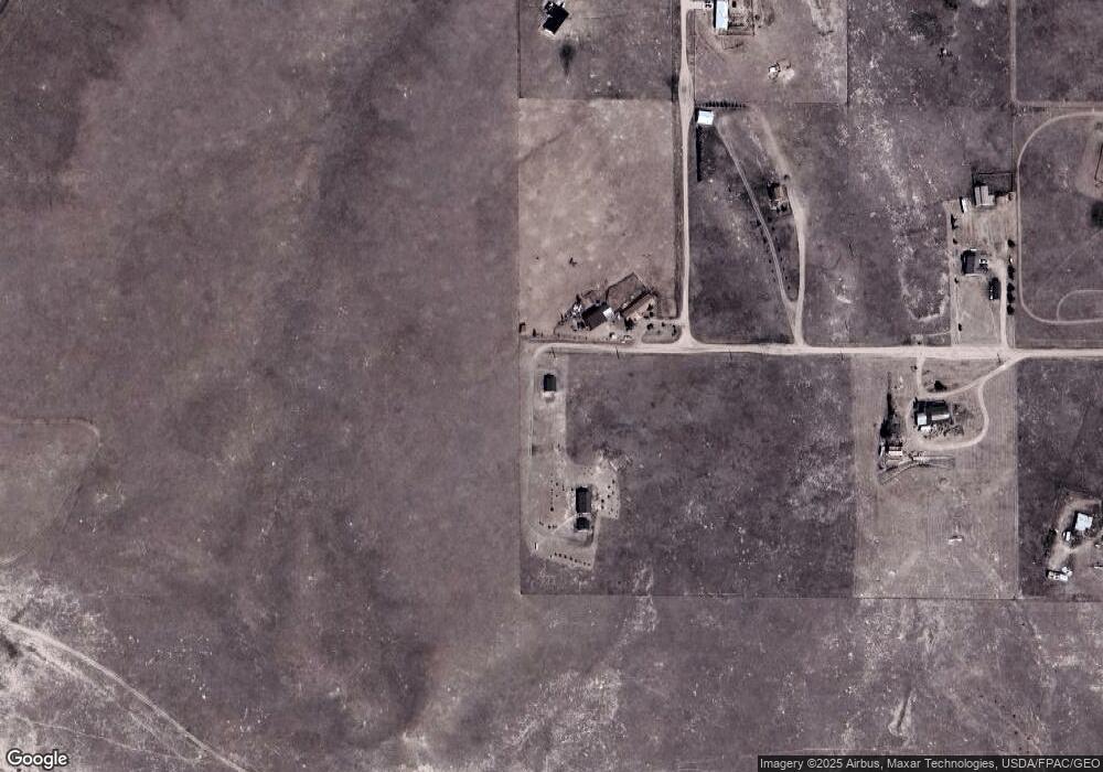
Map
Nearby Homes
- 1113 Indiana Rd
- Tract 234 Samoa Rd
- 1100 Brundage Rd
- 0 Range Line Rd
- 985 Range Line Rd
- Lot 346 Carribean Rd
- Lot 340 Carribean Rd
- Lot 366 Carribean Rd
- Tract 295 S Carolina Rd
- Tract 300 S Carolina Rd
- Lot 99 Tennessee Rd
- 1102 Dusty Rd
- Tract 334 Bering Rd
- Tract 291 Boundary Rd
- TBD Boundary Rd
- TBD Bade Rd
- 1092 Bade Rd
- 1015 Bade Rd
- TBD Vada Rae Ct
- Tract 29 Latigo Loop
- 1008 New York Rd
- 1031 New York Rd
- 1016 New York Rd
- 1024 New York Rd
- 1020 Illinois Rd
- 1021 Illinois Rd
- 1035 New York Rd
- TBD New York Rd
- 1032 New York Rd
- 1035 Illinois Rd
- 1039 New York Rd
- 1030 Illinois Rd
- 1034 Illinois Rd
- 1047 New York Rd
- 984 Road 110a
- 1045 Illinois Rd
- 961 Road 110a
- 1011 Road 110
- 1046 Illinois Rd