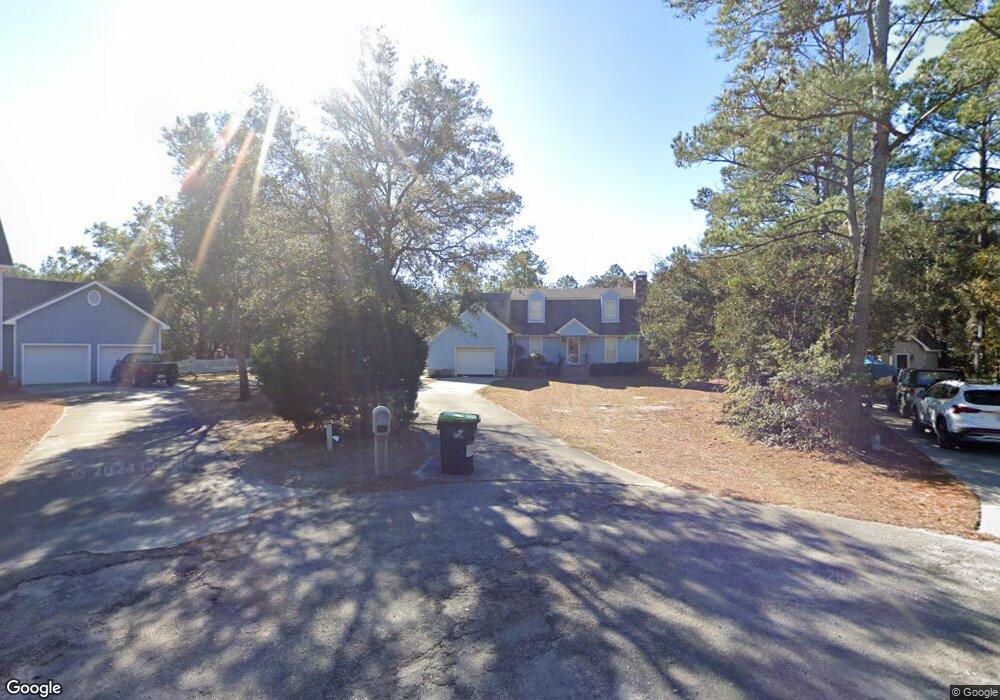
1007 Osprey Cir SE Southport, NC 28461
Estimated Value: $307,000 - $477,000
3
Beds
3
Baths
1,501
Sq Ft
$270/Sq Ft
Est. Value
About This Home
This home is located at 1007 Osprey Cir SE, Southport, NC 28461 and is currently estimated at $404,873, approximately $269 per square foot. 1007 Osprey Cir SE is a home located in Brunswick County with nearby schools including Southport Elementary School, South Brunswick Middle School, and South Brunswick High School.
Ownership History
Date
Name
Owned For
Owner Type
Purchase Details
Closed on
Jul 14, 2016
Sold by
State Employees Cu
Bought by
Secu Re Inc
Current Estimated Value
Purchase Details
Closed on
May 23, 2016
Sold by
Zorich Pete and Zorich Marilyn J
Bought by
State Employees Cu
Purchase Details
Closed on
Feb 1, 1989
Bought by
Zorich Pete Et Marilyn J
Create a Home Valuation Report for This Property
The Home Valuation Report is an in-depth analysis detailing your home's value as well as a comparison with similar homes in the area
Home Values in the Area
Average Home Value in this Area
Purchase History
| Date | Buyer | Sale Price | Title Company |
|---|---|---|---|
| Secu Re Inc | $144,000 | None Available | |
| State Employees Cu | $169,229 | None Available | |
| Zorich Pete Et Marilyn J | -- | -- |
Source: Public Records
Tax History Compared to Growth
Tax History
| Year | Tax Paid | Tax Assessment Tax Assessment Total Assessment is a certain percentage of the fair market value that is determined by local assessors to be the total taxable value of land and additions on the property. | Land | Improvement |
|---|---|---|---|---|
| 2025 | $0 | $292,230 | $84,000 | $208,230 |
| 2024 | $1,316 | $292,230 | $84,000 | $208,230 |
| 2023 | $1,229 | $292,230 | $84,000 | $208,230 |
| 2022 | $0 | $196,040 | $60,000 | $136,040 |
| 2021 | $1,106 | $196,040 | $60,000 | $136,040 |
| 2020 | $0 | $196,040 | $60,000 | $136,040 |
| 2019 | $1,167 | $61,620 | $60,000 | $1,620 |
| 2018 | $1,151 | $67,900 | $66,000 | $1,900 |
| 2017 | $1,131 | $67,900 | $66,000 | $1,900 |
| 2016 | $1,106 | $67,900 | $66,000 | $1,900 |
| 2015 | $1,106 | $191,550 | $66,000 | $125,550 |
| 2014 | $1,091 | $205,452 | $77,000 | $128,452 |
Source: Public Records
Map
Nearby Homes
- 5003 Robert Ruark Dr
- 2002 Petes Camp Dr
- 2020 Robert Ruark Dr
- 3006 Robert Ruark Dr
- 2000 Bonner Bussells Dr
- 2343 Crescent Bay Dr
- 2339 Crescent Bay Dr
- 2008 Robert Ruark Dr SE
- 2009 Robert Ruark Dr
- 2499 Lake Ridge Dr
- Marshall Plan at Osprey Landing - Signature
- Kauai Plan at Osprey Landing - Signature
- Helmsley Plan at Osprey Landing - Signature
- McKenzie Plan at Osprey Landing - Signature
- Shoreline Plan at Osprey Landing - Bungalow
- Hadley Plan at Osprey Landing - Village
- Seagrass Plan at Osprey Landing - Bungalow
- Ashton Plan at Osprey Landing - Signature
- Essex Plan at Osprey Landing - Village
- McKinley Plan at Osprey Landing - Signature
- 1007 Osprey Cir
- 1009 Osprey Cir
- 1003 Osprey Cir SE
- 6003 Robert Ruark Dr
- 1003 Osprey Cir
- 5015 Robert Ruark Dr
- 6005 Robert Ruark Dr SE
- 6000 Robert Ruark Dr
- 5016 Robert Ruark Dr SE
- 6002 Robert Ruark Dr SE
- 6007 Robert Ruark Dr
- 0 N A Unit 100030512
- 5012 Robert Ruark Dr SE
- 5012 Robert Ruark Dr
- 6004 Robert Ruark Dr
- 6009 Robert Ruark Dr
- 1006 Pilot Cir
- 00 Captain Adkins
- 6006 Robert Ruark Dr
- 5011 Robert Ruark Dr