1007 Red Fox Ln Sperry, OK 74073
Estimated Value: $397,000 - $450,000
3
Beds
2
Baths
2,403
Sq Ft
$178/Sq Ft
Est. Value
About This Home
This home is located at 1007 Red Fox Ln, Sperry, OK 74073 and is currently estimated at $427,000, approximately $177 per square foot. 1007 Red Fox Ln is a home located in Osage County with nearby schools including Sperry Elementary School, Sperry Middle School, and Sperry High School.
Ownership History
Date
Name
Owned For
Owner Type
Purchase Details
Closed on
Nov 10, 2006
Sold by
Howard Lydia Jean
Bought by
Branson Barry W and Branson Cynthia
Current Estimated Value
Home Financials for this Owner
Home Financials are based on the most recent Mortgage that was taken out on this home.
Original Mortgage
$175,200
Outstanding Balance
$103,484
Interest Rate
6.37%
Mortgage Type
New Conventional
Estimated Equity
$323,516
Purchase Details
Closed on
Jun 4, 2004
Sold by
Howard Richard Ellis
Bought by
Howard Lydia Jean
Purchase Details
Closed on
May 15, 2002
Sold by
Howard Richard Ellis and Howard
Bought by
Howard Richard Ellis
Purchase Details
Closed on
Feb 27, 2002
Sold by
Roberts Jimmy D
Bought by
Howard Richard Ellis and Howard
Create a Home Valuation Report for This Property
The Home Valuation Report is an in-depth analysis detailing your home's value as well as a comparison with similar homes in the area
Purchase History
| Date | Buyer | Sale Price | Title Company |
|---|---|---|---|
| Branson Barry W | $219,000 | -- | |
| Howard Lydia Jean | -- | -- | |
| Howard Richard Ellis | -- | -- | |
| Howard Richard Ellis | $47,500 | -- |
Source: Public Records
Mortgage History
| Date | Status | Borrower | Loan Amount |
|---|---|---|---|
| Open | Branson Barry W | $175,200 |
Source: Public Records
Tax History Compared to Growth
Tax History
| Year | Tax Paid | Tax Assessment Tax Assessment Total Assessment is a certain percentage of the fair market value that is determined by local assessors to be the total taxable value of land and additions on the property. | Land | Improvement |
|---|---|---|---|---|
| 2025 | $3,607 | $34,036 | $5,871 | $28,165 |
| 2024 | $3,475 | $32,845 | $5,700 | $27,145 |
| 2023 | $3,475 | $31,888 | $5,700 | $26,188 |
| 2022 | $3,256 | $30,058 | $5,700 | $24,358 |
| 2021 | $3,139 | $30,058 | $5,700 | $24,358 |
| 2020 | $3,031 | $29,007 | $5,700 | $23,307 |
| 2019 | $3,066 | $29,007 | $5,700 | $23,307 |
| 2018 | $3,064 | $29,007 | $5,700 | $23,307 |
| 2017 | $2,982 | $29,007 | $5,700 | $23,307 |
| 2016 | $2,917 | $28,521 | $5,700 | $22,821 |
| 2015 | $2,856 | $28,521 | $5,700 | $22,821 |
| 2014 | $2,974 | $28,521 | $5,700 | $22,821 |
| 2013 | $2,974 | $28,521 | $5,700 | $22,821 |
Source: Public Records
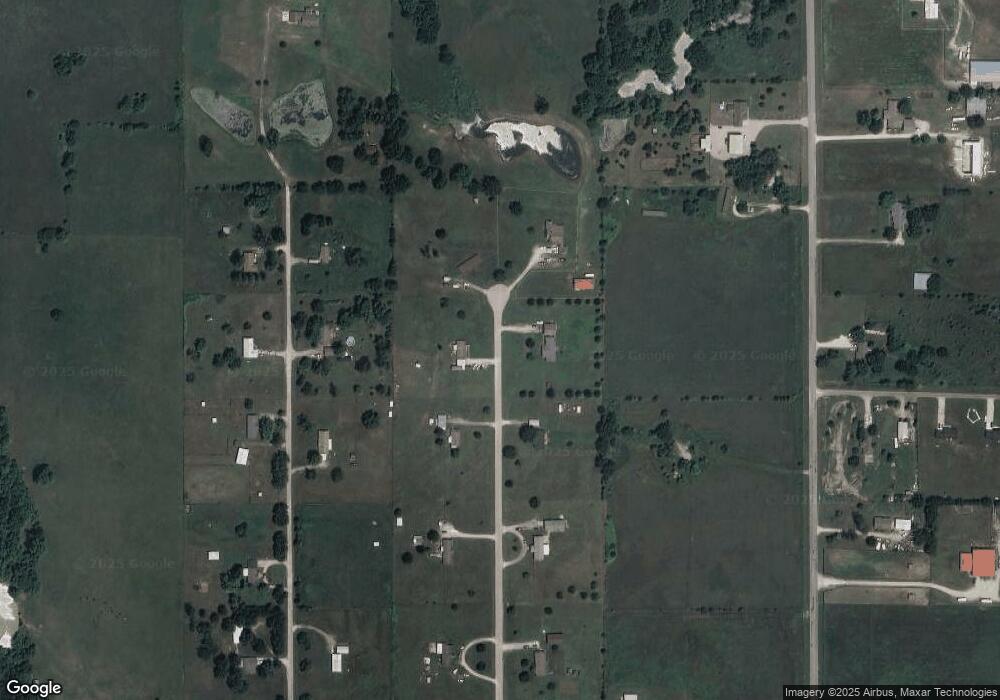
Map
Nearby Homes
- 4631 W 113th St N
- 11314 Scissortail Rd
- 11339 Forest View Ln
- 11375 Forest View Ln
- 12538 N 68th West Ave
- 4665 W 103rd St N
- 12834 N 68th West Ave
- 0 103rd St N Unit 2550592
- 8222 W 118th St N
- 9858 N 38 West Ave
- 6146 W 108th St N
- 10739 N 25th West Ave
- 2744 W 103rd St N
- 1 Sunset View Dr
- 4812 E 76th
- 12255 Avalon Dr
- 40 Avalon Dr
- 10 Avalon Dr
- 14 Avalon Dr
- 11 Avalon Dr
- 11596 Red Fox Ln
- 11619 Red Fox Ln
- 1106 Red Fox Ln
- 0 N 57th Ave W Unit 2520296
- 1002 Red Fox Ln
- 1008 Red Fox Ln
- 11619 Red Fox Ln
- 1005 Red Fox Ln
- 11700 N 52nd West Ave
- 11511 Red Fox Ln
- 11572 Red Fox Ln
- 11641 N 57th West Ave
- 11591 N 57th West Ave
- 11547 N 57th Ave W
- 0 N 52nd Ave Unit 215067
- 0 N 52nd Ave Unit 513387
- 0 N 52nd Ave Unit 532159
- 0 N 52nd Ave Unit 609191
- 0 N 52nd Ave Unit 430808
- 0 N 52nd Ave Unit 521279