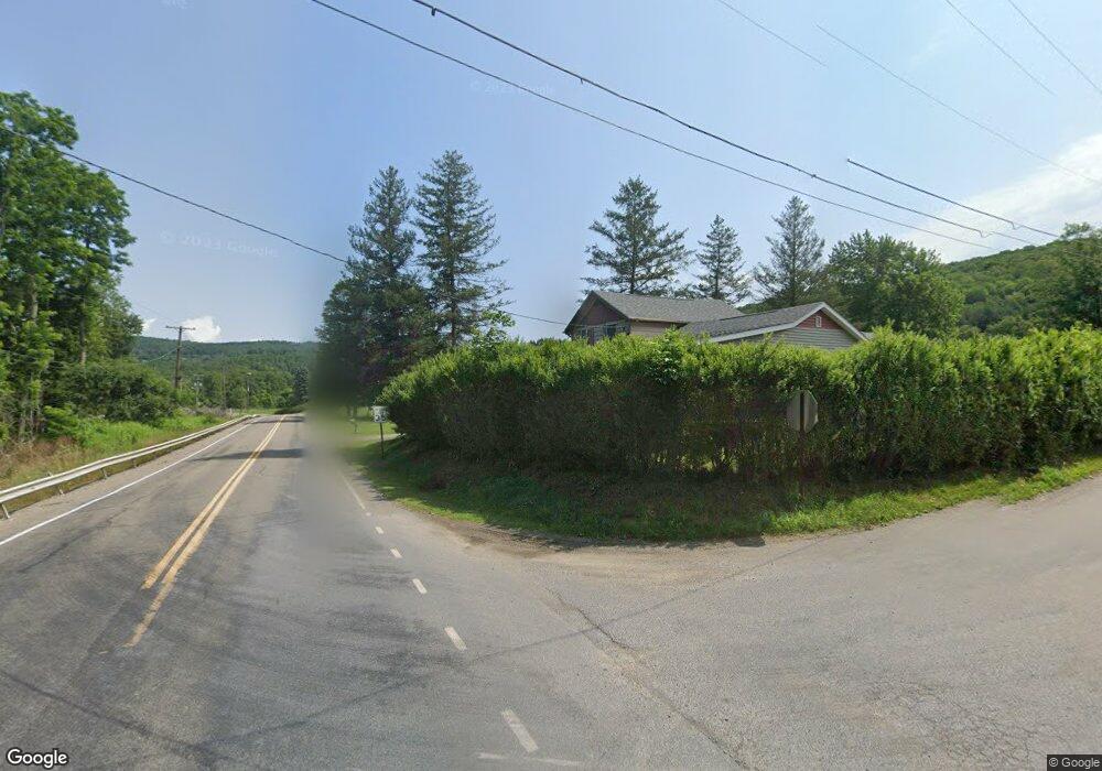
1007 Spruce St Westfield, PA 16950
Estimated Value: $31,000 - $150,000
2
Beds
2
Baths
1,580
Sq Ft
$68/Sq Ft
Est. Value
About This Home
This home is located at 1007 Spruce St, Westfield, PA 16950 and is currently estimated at $107,012, approximately $67 per square foot. 1007 Spruce St is a home with nearby schools including Westfield Area Elementary School and Cowanesque Valley Junior/Senior High School.
Ownership History
Date
Name
Owned For
Owner Type
Purchase Details
Closed on
Jul 24, 2007
Sold by
Kalacinski Gerald D and Kalacinski Cynthia R
Bought by
Robbins Adam D and Robbins Jaclyn C
Current Estimated Value
Home Financials for this Owner
Home Financials are based on the most recent Mortgage that was taken out on this home.
Original Mortgage
$40,000
Outstanding Balance
$25,300
Interest Rate
6.73%
Mortgage Type
Purchase Money Mortgage
Estimated Equity
$81,712
Create a Home Valuation Report for This Property
The Home Valuation Report is an in-depth analysis detailing your home's value as well as a comparison with similar homes in the area
Home Values in the Area
Average Home Value in this Area
Purchase History
| Date | Buyer | Sale Price | Title Company |
|---|---|---|---|
| Robbins Adam D | $45,000 | None Available |
Source: Public Records
Mortgage History
| Date | Status | Borrower | Loan Amount |
|---|---|---|---|
| Open | Robbins Adam D | $40,000 |
Source: Public Records
Tax History Compared to Growth
Tax History
| Year | Tax Paid | Tax Assessment Tax Assessment Total Assessment is a certain percentage of the fair market value that is determined by local assessors to be the total taxable value of land and additions on the property. | Land | Improvement |
|---|---|---|---|---|
| 2025 | $1,190 | $79,700 | $17,680 | $62,020 |
| 2024 | $1,946 | $79,700 | $17,680 | $62,020 |
| 2023 | $1,532 | $52,930 | $15,090 | $37,840 |
| 2022 | $1,377 | $48,800 | $15,090 | $33,710 |
| 2021 | $1,377 | $48,800 | $15,090 | $33,710 |
| 2020 | $1,377 | $48,800 | $15,090 | $33,710 |
| 2019 | $1,298 | $48,800 | $15,090 | $33,710 |
| 2018 | $1,275 | $48,800 | $15,090 | $33,710 |
| 2017 | -- | $48,800 | $15,090 | $33,710 |
| 2016 | $1,236 | $48,800 | $15,090 | $33,710 |
| 2015 | -- | $48,800 | $15,090 | $33,710 |
| 2014 | -- | $48,800 | $15,090 | $33,710 |
Source: Public Records
Map
Nearby Homes
- 4898 Route 349
- 1016 Spruce St
- 4890 State Route 349
- 1021 Spruce St
- 1026 Spruce St
- 4932 Route 349
- 4881 Route 349
- 1085 Maple St
- 1044 Spruce St
- 1075 Maple St
- 4870& 76 Rt 349
- 1080 Maple St
- 1080 Maple St
- 1065 Maple St
- 1065 Maple St
- 4950 State Route 349
- 4950 Route 349
- 4860 Route 349
- 1055 Maple St
- 0 Maple St