1007 Thunderbolt Rd Unit 1 Canyon Lake, TX 78133
Hill Country NeighborhoodEstimated Value: $141,992 - $361,000
--
Bed
--
Bath
--
Sq Ft
1.07
Acres
About This Home
This home is located at 1007 Thunderbolt Rd Unit 1, Canyon Lake, TX 78133 and is currently estimated at $251,496. 1007 Thunderbolt Rd Unit 1 is a home located in Comal County with nearby schools including Mt Valley Elementary School, Mt Valley Middle School, and Canyon Lake High School.
Ownership History
Date
Name
Owned For
Owner Type
Purchase Details
Closed on
Nov 3, 2023
Sold by
Hunt Randy and Hunt Janet Marion
Bought by
Dickson Lewis Mccay
Current Estimated Value
Purchase Details
Closed on
May 8, 2021
Sold by
Davis Dane M and Davis Gloria Jaramillo
Bought by
Hunt Randy and Hunt Janet Marion
Purchase Details
Closed on
Mar 8, 2021
Sold by
Davis Dane M and Davis Gloria Jaramillo
Bought by
Hunt Randy and Hunt Janet Marion
Purchase Details
Closed on
May 18, 2012
Sold by
Mountain Lake Properties Lp
Bought by
Davis Dane M and Davis Gloria Jaramillo
Home Financials for this Owner
Home Financials are based on the most recent Mortgage that was taken out on this home.
Original Mortgage
$84,915
Interest Rate
3.9%
Mortgage Type
Purchase Money Mortgage
Create a Home Valuation Report for This Property
The Home Valuation Report is an in-depth analysis detailing your home's value as well as a comparison with similar homes in the area
Home Values in the Area
Average Home Value in this Area
Purchase History
| Date | Buyer | Sale Price | Title Company |
|---|---|---|---|
| Dickson Lewis Mccay | -- | Chicago Title | |
| Hunt Randy | -- | None Listed On Document | |
| Hunt Randy | -- | None Available | |
| Davis Dane M | -- | Independence Title Company |
Source: Public Records
Mortgage History
| Date | Status | Borrower | Loan Amount |
|---|---|---|---|
| Previous Owner | Davis Dane M | $84,915 |
Source: Public Records
Tax History Compared to Growth
Tax History
| Year | Tax Paid | Tax Assessment Tax Assessment Total Assessment is a certain percentage of the fair market value that is determined by local assessors to be the total taxable value of land and additions on the property. | Land | Improvement |
|---|---|---|---|---|
| 2025 | $2,016 | $136,770 | $136,770 | -- |
| 2024 | $2,016 | $136,770 | $136,770 | -- |
| 2023 | $2,016 | $130,260 | $130,260 | $0 |
| 2022 | $1,574 | $93,490 | $93,490 | -- |
| 2021 | $1,674 | $93,490 | $93,490 | $0 |
| 2020 | $1,930 | $103,880 | $103,880 | $0 |
| 2019 | $1,982 | $103,880 | $103,880 | $0 |
| 2018 | $1,961 | $103,880 | $103,880 | $0 |
| 2017 | $1,946 | $103,880 | $103,880 | $0 |
| 2016 | $1,946 | $103,880 | $103,880 | $0 |
| 2015 | $1,946 | $103,880 | $103,880 | $0 |
| 2014 | $1,946 | $103,880 | $103,880 | $0 |
Source: Public Records
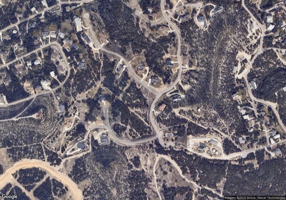
Map
Nearby Homes
- 2416 Triple Peak Dr
- 1174 Highland Terrace Dr
- 1043 Barbara Dr Unit A4
- 971 Barbara Dr
- 1049 Meckel Dr
- 1347 Highland Terrace Dr
- 321 Village View Dr
- 1950 Triple Peak Dr
- 2440 Triple Peak Dr
- 2339 Triple Peak Dr
- 789 Barbara Dr
- 1086 O C Trout Dr
- 2078 Connie Dr
- TBD Irene Dr Unit Lot 591
- TBD Irene Dr
- TBD Irene Dr Unit Lot 590
- 1100 Oc Trout Dr
- 1460 Oc Trout Dr
- 585 Highland Terrace Dr
- 254 Buckhaven Dr
- 1007 Thunderbolt Rd
- 1011 Thunderbolt Rd
- 1006 Sierra Blanca
- 2435 Triple Peak Dr
- 2432 Triple Peak Dr
- 1016 Thunderbolt Rd
- 1014 Sierra Blanca
- 1010 Sierra Blanca
- 2431 Triple Peak Dr
- 2420 Triple Peak Dr
- 1018 Sierra Blanca
- 1019 Thunderbolt Rd
- 2427 Triple Peak Dr
- 2512 Lost Mine
- 2512 Lost Mine
- 2423 Triple Peak Dr
- 2507 Lost Mine
- Lot #33 Lost Mine
- Lot #33
- lot 33 Lost Mine