10072 Ravenswood Rd Ravenswood, WV 26164
Estimated Value: $254,407 - $324,000
3
Beds
2
Baths
1,620
Sq Ft
$176/Sq Ft
Est. Value
About This Home
This home is located at 10072 Ravenswood Rd, Ravenswood, WV 26164 and is currently estimated at $285,469, approximately $176 per square foot. 10072 Ravenswood Rd is a home with nearby schools including Henry J. Kaiser Elementary School, Ravenswood Grade School, and Ravenswood Middle School.
Ownership History
Date
Name
Owned For
Owner Type
Purchase Details
Closed on
May 6, 2013
Sold by
Burrows Randy A
Bought by
Burrows Randy A and Burrows Cheryl A
Current Estimated Value
Home Financials for this Owner
Home Financials are based on the most recent Mortgage that was taken out on this home.
Original Mortgage
$112,000
Outstanding Balance
$79,257
Interest Rate
3.45%
Mortgage Type
New Conventional
Estimated Equity
$206,212
Create a Home Valuation Report for This Property
The Home Valuation Report is an in-depth analysis detailing your home's value as well as a comparison with similar homes in the area
Home Values in the Area
Average Home Value in this Area
Purchase History
| Date | Buyer | Sale Price | Title Company |
|---|---|---|---|
| Burrows Randy A | -- | -- |
Source: Public Records
Mortgage History
| Date | Status | Borrower | Loan Amount |
|---|---|---|---|
| Open | Burrows Randy A | $112,000 |
Source: Public Records
Tax History Compared to Growth
Tax History
| Year | Tax Paid | Tax Assessment Tax Assessment Total Assessment is a certain percentage of the fair market value that is determined by local assessors to be the total taxable value of land and additions on the property. | Land | Improvement |
|---|---|---|---|---|
| 2024 | $1,044 | $83,760 | $17,700 | $66,060 |
| 2023 | $1,036 | $83,100 | $17,700 | $65,400 |
| 2022 | $1,022 | $82,020 | $16,800 | $65,220 |
| 2021 | $1,015 | $81,480 | $16,620 | $64,860 |
| 2020 | $1,006 | $80,880 | $16,440 | $64,440 |
| 2019 | $992 | $79,800 | $15,780 | $64,020 |
| 2018 | $982 | $78,960 | $15,360 | $63,600 |
| 2017 | $977 | $78,540 | $15,360 | $63,180 |
| 2016 | $956 | $76,920 | $14,640 | $62,280 |
| 2015 | $931 | $74,880 | $13,920 | $60,960 |
| 2014 | $918 | $73,800 | $13,800 | $60,000 |
Source: Public Records
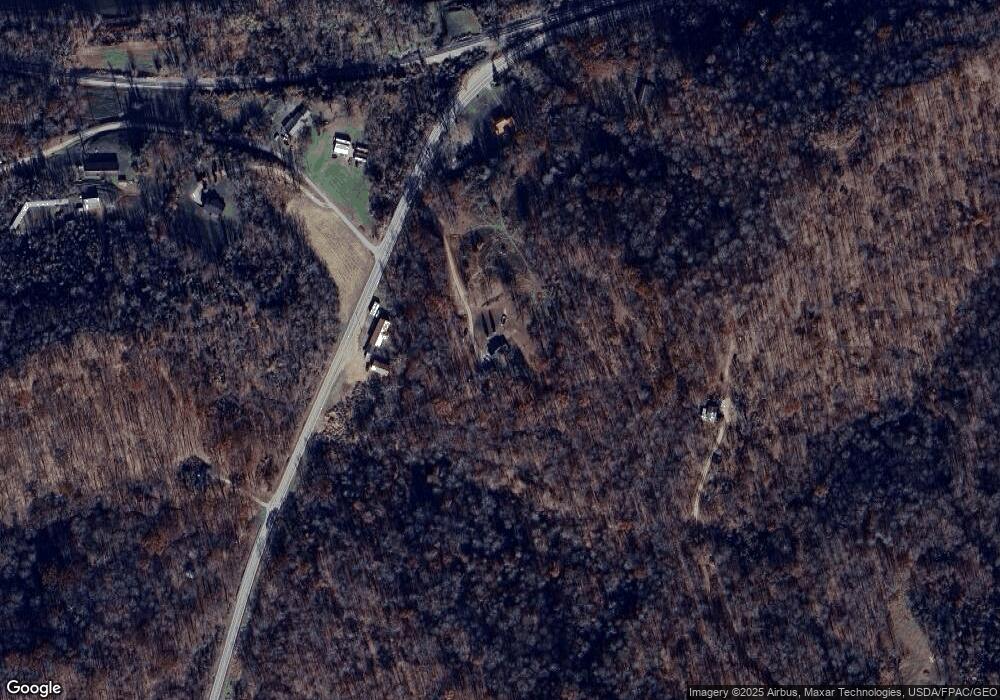
Map
Nearby Homes
- 0 Putnam Dr
- 0 Bigley Run Rd
- 53625 Durst Rd
- 0 Little Forest Run Rd
- 52790 Curtis Hollow Rd
- 0 Wells Run Rd
- 0 Bigley Ridge Rd
- 0 E Little Forest Run Rd
- 51909 Ohio 681
- 0 Mount Olive Rd Unit 20799198
- 5256 Ravenswood Rd
- 0 Barr Hollow Rd
- 34618 Bashan Rd
- 37227 Bashan Rd
- West Unit LotWP001
- E Lovett Rd Unit LotWP001
- 0 West Lovett Rd
- 0 Lovett Rd Unit 2433937
- 0 Lovett Rd Unit LotWP001 24637379
- 0 Lovett Rd
- 11584 Ravenswood Rd
- 10138 Ravenswood Rd
- 78 Ohio River Hill Rd
- 41 Ohio River Hill Rd
- 9867 Ravenswood Rd
- 131B 1st Ave
- 111 1st Ave
- 709 Milhoan Ridge Rd
- 489 Milhoan Ridge Rd
- 489 Milhoan Ridge Rd
- 10346 Ravenswood Rd
- 116 2nd Ave
- 289 Ohio River Hill Rd
- 32 2nd Ave
- 51 2nd Ave
- 805 Milhoan Ridge Rd
- 354 Ohio River Hill Rd
- 19 2nd Ave
- 365 Ohio River Hill Rd
- 62867 Ohio 124