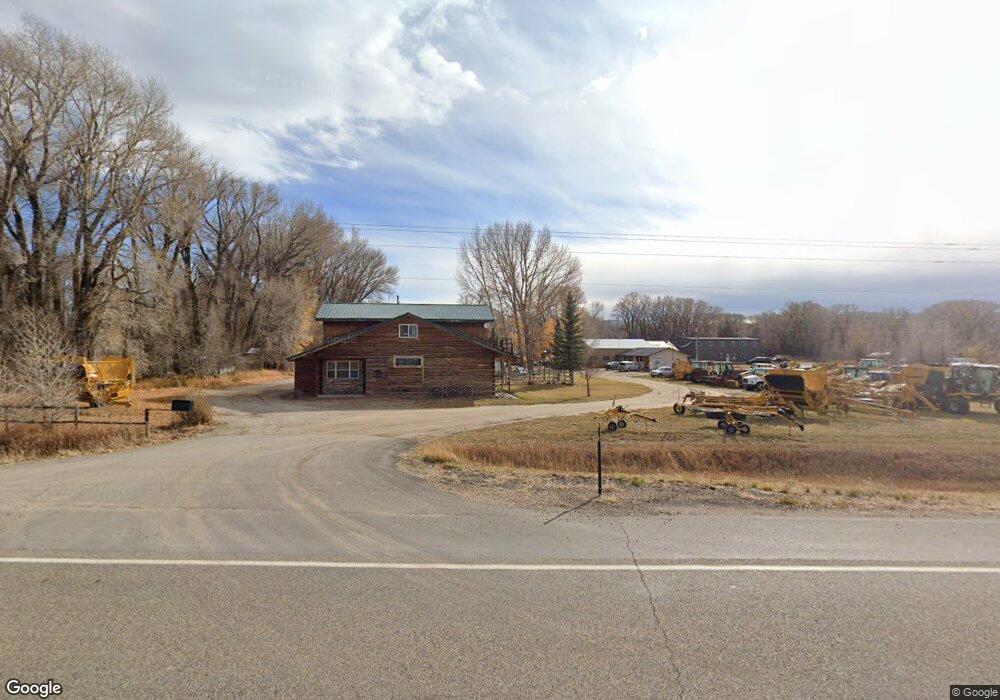
10076 State Highway 230 Encampment, WY 82325
Estimated Value: $308,000 - $497,000
--
Bed
--
Bath
2,510
Sq Ft
$157/Sq Ft
Est. Value
About This Home
This home is located at 10076 State Highway 230, Encampment, WY 82325 and is currently estimated at $395,198, approximately $157 per square foot. 10076 State Highway 230 is a home.
Ownership History
Date
Name
Owned For
Owner Type
Purchase Details
Closed on
Jul 25, 2022
Sold by
Eric Dee Hopkins
Bought by
Square Wheel Llc
Current Estimated Value
Purchase Details
Closed on
Dec 23, 2013
Sold by
Barkhurst Kristen A
Bought by
Barkhurst Raymond J
Home Financials for this Owner
Home Financials are based on the most recent Mortgage that was taken out on this home.
Original Mortgage
$131,259
Interest Rate
4.26%
Mortgage Type
Commercial
Create a Home Valuation Report for This Property
The Home Valuation Report is an in-depth analysis detailing your home's value as well as a comparison with similar homes in the area
Home Values in the Area
Average Home Value in this Area
Purchase History
| Date | Buyer | Sale Price | Title Company |
|---|---|---|---|
| Square Wheel Llc | -- | First American Title | |
| Barkhurst Raymond J | -- | None Available |
Source: Public Records
Mortgage History
| Date | Status | Borrower | Loan Amount |
|---|---|---|---|
| Previous Owner | Barkhurst Raymond J | $131,259 |
Source: Public Records
Tax History Compared to Growth
Tax History
| Year | Tax Paid | Tax Assessment Tax Assessment Total Assessment is a certain percentage of the fair market value that is determined by local assessors to be the total taxable value of land and additions on the property. | Land | Improvement |
|---|---|---|---|---|
| 2025 | $1,891 | $22,723 | $3,701 | $19,022 |
| 2024 | $1,891 | $30,755 | $4,875 | $25,880 |
| 2023 | $1,801 | $29,283 | $3,029 | $26,254 |
| 2022 | $1,526 | $26,077 | $2,571 | $23,506 |
| 2021 | $1,526 | $23,842 | $2,571 | $21,271 |
| 2020 | $1,379 | $70,695 | $7,713 | $62,982 |
| 2019 | $1,470 | $25,126 | $2,571 | $22,555 |
| 2018 | $1,248 | $21,340 | $2,571 | $18,769 |
| 2017 | $1,237 | $21,151 | $2,569 | $18,582 |
| 2016 | $1,046 | $17,884 | $2,569 | $15,315 |
| 2015 | -- | $18,132 | $2,569 | $15,563 |
| 2014 | -- | $17,932 | $2,569 | $15,363 |
Source: Public Records
Map
Nearby Homes
- 29 Cedar Dr
- 36 County Road 211
- 0 Block 67 Unit 20241836
- 0 Jackson Ave
- 61 Blackhall E
- 621 Freeman Ave
- 303-311 Macfarlane Ave
- Lot 118 & 120 Townsite at Battle Creek
- Acreage Wy 70
- 31 Stockdrive Trail
- 29 Sierra Madre Rd
- 5 Plattoga
- MS208 Highway 70
- 32 A Forest Service
- 0 County Road 504 Unit 20245825
- 105 Elk Dr
- 301 Cutthroat
- 302 Cutthroat
- 303 Cutthroat
- 401 Tiger Trout
- 10070 State Highway 230
- 3 County Road 648
- 2 County Road 648 Unit Cherokee Meadows
- 4 Spruce Ct
- 6 Cedar Dr
- 6 County Road 648
- 16 County Road 211
- 1 Cedar Dr
- 7 Cedar Dr
- 3 Spruce Ct
- 1 Spruce Ct
- 14 County Road 648
- 19 County Road 648
- 28B County Road 211
- 18 County Road 648
- 28A County Road 211
- 1057C State Highway 230
- 6 Willow Ct
- 22 County Road 648
- 11097 State Highway 230