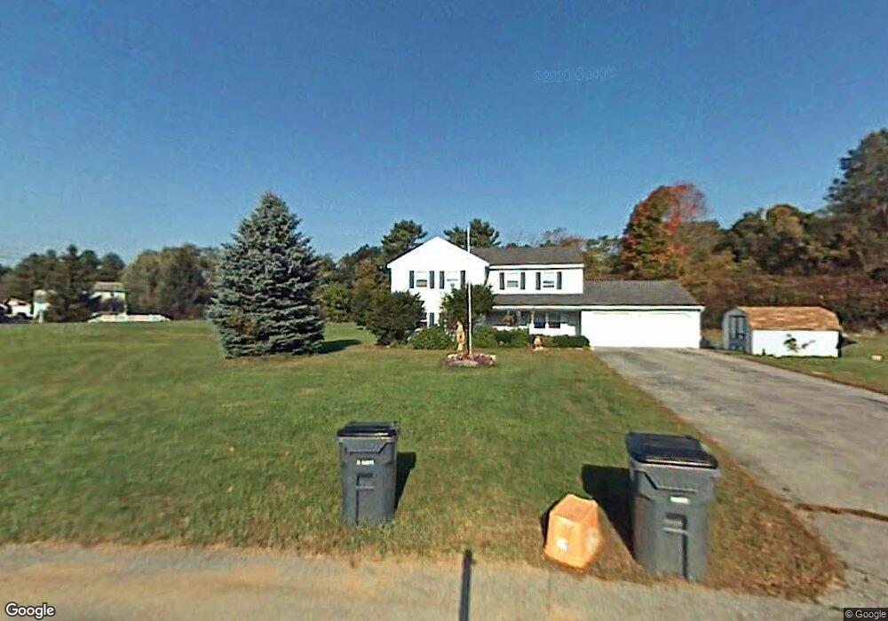
1008-1010 St Lawrence Dr Milton Tov, NY 12020
Milton NeighborhoodEstimated Value: $380,000 - $438,234
5
Beds
3
Baths
2,408
Sq Ft
$170/Sq Ft
Est. Value
About This Home
This home is located at 1008-1010 St Lawrence Dr, Milton Tov, NY 12020 and is currently estimated at $410,309, approximately $170 per square foot. 1008-1010 St Lawrence Dr is a home located in Saratoga County with nearby schools including Gordon Creek Elementary School, Milton Terrace Elementary School, and Wood Road Elementary School.
Ownership History
Date
Name
Owned For
Owner Type
Purchase Details
Closed on
Aug 17, 2020
Sold by
Eldridge Christopher W
Bought by
Farhat Abdul R and Rahimi Mina M
Current Estimated Value
Home Financials for this Owner
Home Financials are based on the most recent Mortgage that was taken out on this home.
Original Mortgage
$237,574
Outstanding Balance
$210,352
Interest Rate
2.9%
Mortgage Type
New Conventional
Estimated Equity
$199,957
Purchase Details
Closed on
Oct 28, 2011
Sold by
Tomlinson Edward Charles
Bought by
Eldridge Christopher
Create a Home Valuation Report for This Property
The Home Valuation Report is an in-depth analysis detailing your home's value as well as a comparison with similar homes in the area
Home Values in the Area
Average Home Value in this Area
Purchase History
| Date | Buyer | Sale Price | Title Company |
|---|---|---|---|
| Farhat Abdul R | $264,000 | Misc Company | |
| Eldridge Christopher | $212,500 | Richard F Anderson Jr |
Source: Public Records
Mortgage History
| Date | Status | Borrower | Loan Amount |
|---|---|---|---|
| Open | Farhat Abdul R | $237,574 |
Source: Public Records
Tax History Compared to Growth
Tax History
| Year | Tax Paid | Tax Assessment Tax Assessment Total Assessment is a certain percentage of the fair market value that is determined by local assessors to be the total taxable value of land and additions on the property. | Land | Improvement |
|---|---|---|---|---|
| 2024 | $4,851 | $215,000 | $50,000 | $165,000 |
| 2023 | $5,602 | $215,000 | $50,000 | $165,000 |
| 2022 | $5,412 | $215,000 | $50,000 | $165,000 |
| 2021 | $5,327 | $215,000 | $50,000 | $165,000 |
| 2020 | $4,928 | $197,600 | $12,700 | $184,900 |
| 2018 | $996 | $197,600 | $12,700 | $184,900 |
| 2017 | $1,039 | $197,600 | $12,700 | $184,900 |
| 2016 | $3,893 | $197,600 | $12,700 | $184,900 |
Source: Public Records
Map
Nearby Homes
- 9 Conans Run
- 255 W Milton Rd
- 9 Brook Trout Cir
- 15 Brook Trout Cir
- 16 Brook Trout Cir
- 14 Brook Trout Cir
- 12 Brook Trout Cir
- 3515 Galway Rd
- 34 Creekside Dr
- 900 Rock City Rd Unit 204
- 40 Creekside Dr
- 42 Creekside Dr
- 44 Creekside Dr
- 880 Rock City Rd
- 51 Creekside Dr
- 3555 Galway Rd
- 198 Paisley Rd
- 714 Route 29
- 3 Magnolia Ct
- 709 Route 29 Unit 78
- 1008 St Lawrence Dr Unit 10
- 1008-10 St Lawrence Dr
- 1010 St Lawrence Dr
- 130 W Milton Rd
- 1000 St Lawrence Dr Unit 10
- 1000 Saint Lawrence Dr
- 2001 St Paul Dr Unit 20
- 1001 St Lawrence Dr Unit 10
- 1001 Saint Lawrence Dr
- 2003 St Paul Dr
- 121 W Milton Rd
- 127 W Milton Rd
- 125 W Milton Rd
- 2009 St Paul Dr Unit 20
- 2009 Saint Paul Dr
- 131 W Milton Rd
- 119 W Milton Rd
- 3682 Lewis Rd
- 117 W Milton Rd
- 1015 St Lawrence Dr Unit 10