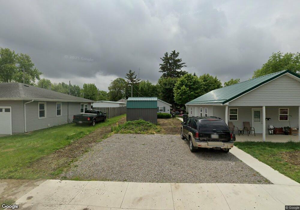
1008 George St van Wert, OH 45891
Estimated Value: $103,000
--
Bed
--
Bath
--
Sq Ft
8,712
Sq Ft Lot
About This Home
This home is located at 1008 George St, van Wert, OH 45891 and is currently estimated at $103,000. 1008 George St is a home located in Van Wert County with nearby schools including Van Wert Early Childhood Center, Van Wert High School, and Lifelinks Community School.
Ownership History
Date
Name
Owned For
Owner Type
Purchase Details
Closed on
Jan 10, 2024
Sold by
Arn Sherri
Bought by
Phadom Llc
Current Estimated Value
Purchase Details
Closed on
Jun 4, 2013
Sold by
Ralston Matthew and Ralston Erin
Bought by
Arn Michael and Arn Sherri
Home Financials for this Owner
Home Financials are based on the most recent Mortgage that was taken out on this home.
Original Mortgage
$22,400
Interest Rate
3.43%
Mortgage Type
Unknown
Purchase Details
Closed on
Apr 18, 2004
Bought by
Ralston Matthe
Purchase Details
Closed on
Jun 30, 1995
Bought by
Ralston Roger D and Ralston Patric
Create a Home Valuation Report for This Property
The Home Valuation Report is an in-depth analysis detailing your home's value as well as a comparison with similar homes in the area
Home Values in the Area
Average Home Value in this Area
Purchase History
| Date | Buyer | Sale Price | Title Company |
|---|---|---|---|
| Phadom Llc | $45,000 | None Listed On Document | |
| Arn Michael | $28,000 | Attorney | |
| Ralston Matthe | -- | -- | |
| Ralston Roger D | $10,000 | -- |
Source: Public Records
Mortgage History
| Date | Status | Borrower | Loan Amount |
|---|---|---|---|
| Previous Owner | Arn Michael | $22,400 |
Source: Public Records
Tax History Compared to Growth
Tax History
| Year | Tax Paid | Tax Assessment Tax Assessment Total Assessment is a certain percentage of the fair market value that is determined by local assessors to be the total taxable value of land and additions on the property. | Land | Improvement |
|---|---|---|---|---|
| 2024 | $235 | $7,060 | $3,810 | $3,250 |
| 2023 | $235 | $7,060 | $3,810 | $3,250 |
| 2022 | $199 | $5,250 | $2,820 | $2,430 |
| 2021 | $194 | $5,250 | $2,820 | $2,430 |
| 2020 | $193 | $5,250 | $2,820 | $2,430 |
| 2019 | $179 | $4,790 | $2,820 | $1,970 |
| 2018 | $178 | $4,790 | $2,820 | $1,970 |
| 2017 | $178 | $4,790 | $2,820 | $1,970 |
| 2016 | $175 | $4,780 | $2,820 | $1,960 |
| 2015 | $175 | $4,780 | $2,820 | $1,960 |
| 2014 | $174 | $4,780 | $2,820 | $1,960 |
| 2013 | $187 | $4,780 | $2,820 | $1,960 |
Source: Public Records
Map
Nearby Homes
- 1006 Hughes St
- 927 Woodland Ave
- 1028 Westchester Ct
- 1213 David St
- 1055 Westchester Ct
- 729 George St
- 736 Leeson Ave
- 706 Woodland Ave
- 510 Euclid Ave
- 522 South Ave
- 218 Burt St
- 1421 Krendl Dr
- 960 Glenn St
- 9188 John Brown Rd Unit Lot 37
- 9188 John Brown Rd Unit Lot 7
- 9188 John Brown Rd Unit LOT 60
- 9188 John Brown Rd Unit LOT 15
- 202 N Jefferson St
- 603 Pewterboy Ave
- 214 N Jefferson St
- 1002 George St
- 1014 George St
- 317 Thorn St
- 1020 George St
- 323 Thorn St
- 1013 George & 1015 St
- 930 George St
- 1007 Hughes St
- 1005 Hughes & 1005 1/2 St
- 1007 George St
- 1026 George St
- 924 George St
- 1009 Hughes St
- 313 Thorn & 319 St
- 927 Hughes St
- 320 Thorn St
- 920 George St
- 314 Davis St Unit 320
- 401 Thorn St
- 1010 Hughes St