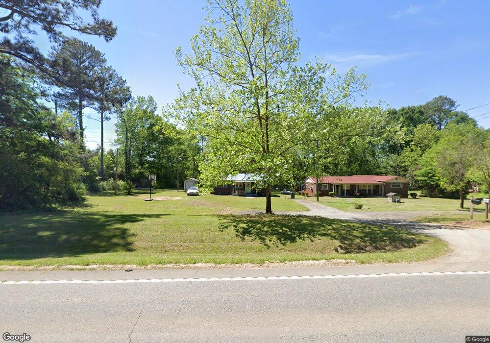
1008 Highway 36 E Barnesville, GA 30204
Estimated Value: $116,559 - $226,000
2
Beds
1
Bath
976
Sq Ft
$175/Sq Ft
Est. Value
About This Home
This home is located at 1008 Highway 36 E, Barnesville, GA 30204 and is currently estimated at $170,640, approximately $174 per square foot. 1008 Highway 36 E is a home located in Lamar County with nearby schools including Lamar County Primary School, Lamar County Elementary School, and Lamar County Middle School.
Ownership History
Date
Name
Owned For
Owner Type
Purchase Details
Closed on
Jan 25, 2018
Sold by
Horton Ralph
Bought by
Fryer Michael Bernard
Current Estimated Value
Purchase Details
Closed on
Mar 6, 2002
Sold by
Fryer Sonya Horton
Bought by
Horton Sonya and Horton Ralph
Purchase Details
Closed on
Sep 1, 1989
Sold by
Horton Sonya
Bought by
Horton Sonya
Create a Home Valuation Report for This Property
The Home Valuation Report is an in-depth analysis detailing your home's value as well as a comparison with similar homes in the area
Purchase History
| Date | Buyer | Sale Price | Title Company |
|---|---|---|---|
| Fryer Michael Bernard | -- | -- | |
| Horton Sonya | -- | -- | |
| Horton Sonya | -- | -- |
Source: Public Records
Tax History
| Year | Tax Paid | Tax Assessment Tax Assessment Total Assessment is a certain percentage of the fair market value that is determined by local assessors to be the total taxable value of land and additions on the property. | Land | Improvement |
|---|---|---|---|---|
| 2025 | $808 | $33,324 | $3,410 | $29,914 |
| 2024 | $688 | $26,871 | $3,410 | $23,461 |
| 2023 | $730 | $26,460 | $3,410 | $23,050 |
| 2022 | $665 | $24,082 | $2,175 | $21,907 |
| 2021 | $554 | $18,415 | $1,615 | $16,800 |
| 2020 | $423 | $13,365 | $1,615 | $11,750 |
| 2019 | $424 | $13,365 | $1,615 | $11,750 |
| 2018 | $407 | $13,365 | $1,615 | $11,750 |
| 2017 | $405 | $13,365 | $1,615 | $11,750 |
| 2016 | $405 | $13,365 | $1,615 | $11,750 |
| 2015 | $405 | $13,365 | $1,615 | $11,750 |
| 2014 | $406 | $13,836 | $1,615 | $12,221 |
| 2013 | -- | $13,835 | $1,614 | $12,220 |
Source: Public Records
Map
Nearby Homes
- LOT 112 Cole Forest Blvd
- 103 Mcginnis Glen
- 218 City Pond Rd
- 206 Cole Forest Blvd
- 278 Cole Forest Blvd
- 277 Cole Forest Blvd
- 225 Cole Forest Blvd
- 603 Silver Dollar Rd
- V L Silver Dollar Rd
- 787 Silver Dollar Rd
- 654 Liberty Hill Rd
- 134 Belleflower Way
- 104 Savannah Way
- 0 Savannah Way Unit 10672993
- 0 Silver Dollar Rd Unit 10552561
- LOT 1 Mathews Rd
- LOT 2 Mathews Rd
- 103 Silver Dollar Rd
- 166 Mathews Rd
- 162 Mathews Rd
- 1012 Highway 36 E
- 1007 Highway 36 E
- 1015 Highway 36 E
- 315 Brinkley Rd
- 114 City Pond Rd
- 1029 Highway 36 E
- 1030 Highway 36 E
- 122 City Pond Rd
- 0 Highway 36 E Unit 8041538
- 0 Highway 36 E Unit 20029393
- 0 Highway 36 E Unit 7468258
- 0 Highway 36 E Unit 10391773
- 0 Highway 36 E Unit 7363956
- 0 Highway 36 E Unit 10276683
- 0 Highway 36 E Unit 10261785
- 0 Highway 36 E Unit 20014184
- 0 Highway 36 E Unit 9037728
- 0 Highway 36 E Unit 8993152
- 0 Highway 36 E Unit 8979820
- 0 Highway 36 E Unit 8946943
Your Personal Tour Guide
Ask me questions while you tour the home.