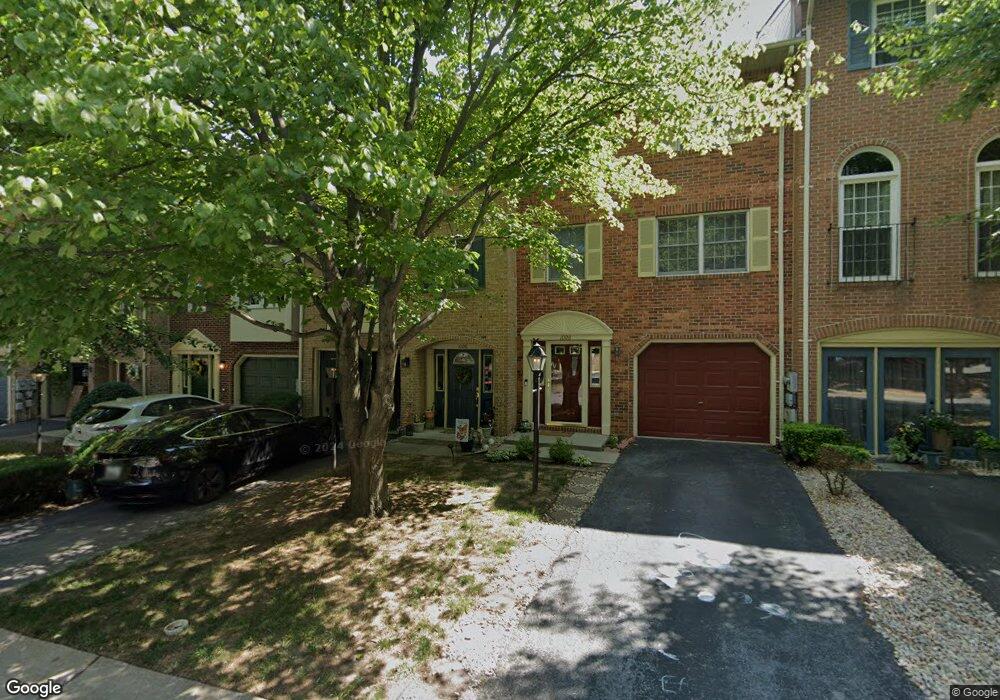
1008 Lindsay Ln Hagerstown, MD 21742
Northwest Hagerstown NeighborhoodEstimated Value: $283,302 - $308,000
--
Bed
4
Baths
1,920
Sq Ft
$157/Sq Ft
Est. Value
About This Home
This home is located at 1008 Lindsay Ln, Hagerstown, MD 21742 and is currently estimated at $301,076, approximately $156 per square foot. 1008 Lindsay Ln is a home located in Washington County with nearby schools including Fountaindale Elementary School, Owendale-Gagetown Junior/Senior High School, and Western Heights Middle School.
Ownership History
Date
Name
Owned For
Owner Type
Purchase Details
Closed on
Oct 18, 1993
Sold by
Cranston D P
Bought by
Shortuse Richard J
Current Estimated Value
Home Financials for this Owner
Home Financials are based on the most recent Mortgage that was taken out on this home.
Original Mortgage
$105,450
Interest Rate
6.87%
Purchase Details
Closed on
Jan 31, 1990
Sold by
Drr Ltd A Md Corp
Bought by
Cranston Dennis P
Home Financials for this Owner
Home Financials are based on the most recent Mortgage that was taken out on this home.
Original Mortgage
$97,200
Interest Rate
10.05%
Create a Home Valuation Report for This Property
The Home Valuation Report is an in-depth analysis detailing your home's value as well as a comparison with similar homes in the area
Home Values in the Area
Average Home Value in this Area
Purchase History
| Date | Buyer | Sale Price | Title Company |
|---|---|---|---|
| Shortuse Richard J | $111,000 | -- | |
| Cranston Dennis P | $108,000 | -- |
Source: Public Records
Mortgage History
| Date | Status | Borrower | Loan Amount |
|---|---|---|---|
| Closed | Shortuse Richard J | $105,450 | |
| Previous Owner | Cranston Dennis P | $97,200 |
Source: Public Records
Tax History Compared to Growth
Tax History
| Year | Tax Paid | Tax Assessment Tax Assessment Total Assessment is a certain percentage of the fair market value that is determined by local assessors to be the total taxable value of land and additions on the property. | Land | Improvement |
|---|---|---|---|---|
| 2025 | $1,676 | $227,800 | $40,000 | $187,800 |
| 2024 | $1,676 | $206,833 | $0 | $0 |
| 2023 | $1,587 | $185,867 | $0 | $0 |
| 2022 | $1,502 | $164,900 | $40,000 | $124,900 |
| 2021 | $1,632 | $163,567 | $0 | $0 |
| 2020 | $1,510 | $162,233 | $0 | $0 |
| 2019 | $1,504 | $160,900 | $40,000 | $120,900 |
| 2018 | $1,483 | $158,633 | $0 | $0 |
| 2017 | $1,462 | $156,367 | $0 | $0 |
| 2016 | -- | $154,100 | $0 | $0 |
| 2015 | -- | $154,100 | $0 | $0 |
| 2014 | $3,326 | $154,100 | $0 | $0 |
Source: Public Records
Map
Nearby Homes
- 1026 Lindsay Ln
- 1259 Fairchild Ave
- 912 Mercer Dr
- 1202 Garst Ct
- 1019 Lindsay Ln
- 1123 Lindsay Ln
- 1305 Pennsylvania Ave
- 1029 Pennsylvania Ave
- 1030 Benjamin Place
- 1221 Lindsay Ln
- 1072 Kasinof Ave
- 1033 Fairview Rd
- 1108 W Irvin Ave
- 1024 Kasinof Ave
- 1181 Wayne Ave
- 1116 Fairview Rd
- 1113 Green Ln
- 1229 Wayne Ave
- 1125 Haven Rd
- 670 Northern Ave
- 1010 Lindsay Ln
- 1006 Lindsay Ln
- 1012 Lindsay Ln
- 1004 Lindsay Ln
- 1002 Lindsay Ln
- 1014 Lindsay Ln
- 1000 Lindsay Ln
- 901 Mercer Dr
- 1022 Lindsay Ln
- 1024 Lindsay Ln
- 1020 Lindsay Ln
- 1212 Fairchild Ave
- 1251 Fairchild Ave
- 1018 Lindsay Ln
- 1210 Fairchild Ave
- 1028 Lindsay Ln
- 1016 Lindsay Ln
- 1253 Fairchild Ave
- 1030 Lindsay Ln
- 2 Mercer Dr