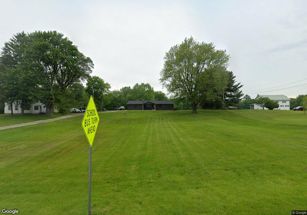
1008 State Route 61 Norwalk, OH 44857
Estimated Value: $298,635 - $381,000
3
Beds
3
Baths
1,662
Sq Ft
$206/Sq Ft
Est. Value
About This Home
This home is located at 1008 State Route 61, Norwalk, OH 44857 and is currently estimated at $343,159, approximately $206 per square foot. 1008 State Route 61 is a home located in Huron County with nearby schools including Western Reserve Elementary School, Western Reserve Middle School, and Western Reserve High School.
Ownership History
Date
Name
Owned For
Owner Type
Purchase Details
Closed on
Jan 24, 2018
Sold by
Desanto Nancy and Skinner Mrsa
Bought by
Skinner David P Lloyd and Skinner Melissa L
Current Estimated Value
Purchase Details
Closed on
Nov 8, 2017
Sold by
Desanto Nancy and Skinner Lous Marie
Bought by
Desanto Nancy
Purchase Details
Closed on
Mar 24, 2016
Sold by
Estate Of David Franklin S Skinner
Bought by
Skinner Marsa
Purchase Details
Closed on
Aug 30, 2002
Bought by
Skinner Lois M W and Skinner Le
Purchase Details
Closed on
Oct 14, 1993
Bought by
Skinner Lloyd Aka Lloyd M
Create a Home Valuation Report for This Property
The Home Valuation Report is an in-depth analysis detailing your home's value as well as a comparison with similar homes in the area
Home Values in the Area
Average Home Value in this Area
Purchase History
| Date | Buyer | Sale Price | Title Company |
|---|---|---|---|
| Skinner David P Lloyd | -- | None Available | |
| Desanto Nancy | -- | None Available | |
| Skinner Marsa | -- | None Available | |
| Skinner Lois M W | -- | -- | |
| Skinner Lloyd Aka Lloyd M | -- | -- |
Source: Public Records
Tax History Compared to Growth
Tax History
| Year | Tax Paid | Tax Assessment Tax Assessment Total Assessment is a certain percentage of the fair market value that is determined by local assessors to be the total taxable value of land and additions on the property. | Land | Improvement |
|---|---|---|---|---|
| 2024 | $2,337 | $78,110 | $16,420 | $61,690 |
| 2023 | $2,337 | $62,660 | $12,690 | $49,970 |
| 2022 | $1,928 | $62,660 | $12,690 | $49,970 |
| 2021 | $1,998 | $62,660 | $12,690 | $49,970 |
| 2020 | $1,742 | $52,170 | $9,600 | $42,570 |
| 2019 | $1,733 | $52,170 | $9,600 | $42,570 |
| 2018 | $1,712 | $52,170 | $9,600 | $42,570 |
| 2017 | $1,070 | $42,660 | $8,720 | $33,940 |
| 2016 | $1,047 | $42,660 | $8,720 | $33,940 |
| 2015 | $1,021 | $42,200 | $8,720 | $33,480 |
| 2014 | $1,020 | $42,180 | $8,720 | $33,460 |
| 2013 | $1,008 | $42,180 | $8,720 | $33,460 |
Source: Public Records
Map
Nearby Homes
- 5054 State Route 601
- 0 Millwood Ln Unit 20252328
- 0 Millwood Ln Unit 20252327
- 4709 State Route 113 E
- 4925 Old State Rd N
- 310 Melanie Ln
- 17 Sara Dr
- 112 State Route 61 Unit 25
- 34 Old State Rd N
- 121 Leisure Ln
- 93 Elm St
- 520 Milan Ave Unit 154
- 520 Milan Ave
- 520 Milan Ave Unit 7
- 520 Milan Ave Unit 21
- 27 Whitefield Blvd
- 14 Whitefield Blvd
- 128 Center St
- 13808 Riley Rd
- 0 S Center St
- 978 State Route 61
- 1001 State Route 61
- 964 State Route 61
- 1045 State Route 61
- 1059 State Route 61
- 967 State Route 61
- 1001 E 61 Route
- 1055 State Route 61
- 918 State Route 61
- 1120 State Route 61
- 921 State Route 61
- 917 Ohio 61
- 917 State Route 61
- 1101 State Route 61
- 866 Seminary Lot #2 Rd
- 0 Seminary Lot #2 Rd
- 5082 Tomahawk Dr
- 5112 Tomahawk Dr
- 886 Seminary Rd Unit Lot 2
- 886 Seminary Rd