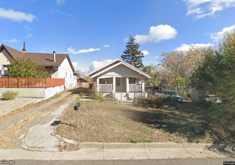
1008 State St Trinidad, CO 81082
Estimated Value: $156,000 - $181,000
2
Beds
1
Bath
1,168
Sq Ft
$145/Sq Ft
Est. Value
About This Home
This home is located at 1008 State St, Trinidad, CO 81082 and is currently estimated at $169,622, approximately $145 per square foot. 1008 State St is a home located in Las Animas County with nearby schools including Fisher's Peak Elementary School, Trinidad Middle School, and Trinidad High School.
Ownership History
Date
Name
Owned For
Owner Type
Purchase Details
Closed on
Jun 29, 2007
Sold by
Robinson Rentals Llc
Bought by
Brewster Windy A
Current Estimated Value
Home Financials for this Owner
Home Financials are based on the most recent Mortgage that was taken out on this home.
Original Mortgage
$65,000
Outstanding Balance
$40,350
Interest Rate
6.37%
Mortgage Type
New Conventional
Estimated Equity
$129,272
Purchase Details
Closed on
Feb 28, 2005
Sold by
Bull Leonad and Bull Fransiska
Bought by
Robinson Rentals Llc
Home Financials for this Owner
Home Financials are based on the most recent Mortgage that was taken out on this home.
Original Mortgage
$11,016
Interest Rate
5.71%
Mortgage Type
Future Advance Clause Open End Mortgage
Create a Home Valuation Report for This Property
The Home Valuation Report is an in-depth analysis detailing your home's value as well as a comparison with similar homes in the area
Home Values in the Area
Average Home Value in this Area
Purchase History
| Date | Buyer | Sale Price | Title Company |
|---|---|---|---|
| Brewster Windy A | $65,000 | None Available | |
| Robinson Rentals Llc | $92,900 | None Available |
Source: Public Records
Mortgage History
| Date | Status | Borrower | Loan Amount |
|---|---|---|---|
| Open | Brewster Windy A | $65,000 | |
| Previous Owner | Robinson Rentals Llc | $11,016 |
Source: Public Records
Tax History Compared to Growth
Tax History
| Year | Tax Paid | Tax Assessment Tax Assessment Total Assessment is a certain percentage of the fair market value that is determined by local assessors to be the total taxable value of land and additions on the property. | Land | Improvement |
|---|---|---|---|---|
| 2025 | $287 | $9,250 | $1,070 | $8,180 |
| 2024 | $287 | $8,520 | $1,070 | $7,450 |
| 2023 | $287 | $5,350 | $640 | $4,710 |
| 2022 | $257 | $4,980 | $1,110 | $3,870 |
| 2021 | $262 | $5,130 | $1,150 | $3,980 |
| 2020 | $291 | $5,780 | $1,150 | $4,630 |
| 2019 | $3 | $5,780 | $1,150 | $4,630 |
| 2018 | $242 | $4,720 | $1,150 | $3,570 |
| 2017 | $235 | $4,720 | $0 | $0 |
| 2015 | $254 | $5,226 | $0 | $0 |
| 2013 | $262 | $5,226 | $1,277 | $3,949 |
Source: Public Records
Map
Nearby Homes
- 1012 State St
- 215 W Baca St
- 219 W Baca St
- 1016 State St
- 209 W Baca St
- 216 W Topeka Ave
- 1020 State St
- 1007 Nevada Ave
- 1011 State St
- 1017 Nevada Ave
- 202 W Topeka Ave
- 1003 Nevada Ave
- 1017 State St
- 301 W Baca St
- 300 W Topeka Ave
- 214 W Baca St
- 214 W Baca St Unit 2
- 212 W Baca St
- 931 Nevada Ave
- 217 W Topeka Ave