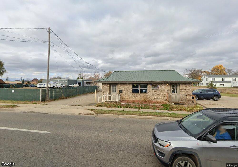
1008 W Main St Owosso, MI 48867
Estimated Value: $131,071
Studio
--
Bath
896
Sq Ft
$146/Sq Ft
Est. Value
About This Home
This home is located at 1008 W Main St, Owosso, MI 48867 and is currently estimated at $131,071, approximately $146 per square foot. 1008 W Main St is a home located in Shiawassee County with nearby schools including Owosso High School, Salem Lutheran School, and St. Paul School.
Ownership History
Date
Name
Owned For
Owner Type
Purchase Details
Closed on
Dec 26, 2024
Sold by
Snyder Todd A
Bought by
Rt & T Properties Llc
Current Estimated Value
Purchase Details
Closed on
Feb 29, 2024
Sold by
Thomas E Simmington Living Trust
Bought by
Snyder Todd and Snyder Roger Lynn
Purchase Details
Closed on
Aug 31, 2020
Sold by
Simmington Thomas E
Bought by
Thomas E Simmington Trust
Create a Home Valuation Report for This Property
The Home Valuation Report is an in-depth analysis detailing your home's value as well as a comparison with similar homes in the area
Home Values in the Area
Average Home Value in this Area
Purchase History
| Date | Buyer | Sale Price | Title Company |
|---|---|---|---|
| Rt & T Properties Llc | -- | None Listed On Document | |
| Rt & T Properties Llc | -- | None Listed On Document | |
| Rt & T Properties Llc | -- | None Listed On Document | |
| Snyder Todd | -- | None Listed On Document | |
| Snyder Todd A | -- | None Listed On Document | |
| Snyder Todd | -- | None Listed On Document | |
| Thomas E Simmington Trust | -- | None Available | |
| Thomas E Simmington Trust | -- | None Listed On Document |
Source: Public Records
Tax History
| Year | Tax Paid | Tax Assessment Tax Assessment Total Assessment is a certain percentage of the fair market value that is determined by local assessors to be the total taxable value of land and additions on the property. | Land | Improvement |
|---|---|---|---|---|
| 2025 | $3,554 | $71,000 | $0 | $0 |
| 2024 | $3,554 | $68,100 | $0 | $0 |
| 2023 | $1,578 | $66,600 | $0 | $0 |
| 2022 | $3,423 | $58,800 | $0 | $0 |
| 2021 | $3,267 | $53,000 | $0 | $0 |
| 2020 | $3,360 | $55,100 | $0 | $0 |
| 2019 | $3,301 | $45,700 | $0 | $0 |
| 2018 | -- | $45,500 | $0 | $0 |
| 2017 | -- | $44,900 | $0 | $0 |
| 2016 | -- | $44,900 | $0 | $0 |
| 2015 | -- | $43,700 | $0 | $0 |
| 2014 | -- | $39,500 | $0 | $0 |
Source: Public Records
Map
Nearby Homes
- 206 N Howell St
- 1408 W Main St
- 528 River St
- 522 River St
- 512 Bradley St
- Vacant W Oliver St
- 1432 Young St
- V/L Michigan 52
- V/L W South (1 6) Acres St
- 615 Clark Ave
- 302 Lafayette Blvd
- 817 S Chipman St
- 303 W Williams St
- 704 Isham St
- 825 Ament St
- 802 Wilkinson St
- 1510 W Stewart St
- 1514 W Stewart St
- 1339 Olmstead St
- 211 N Ball St
- 1060 W Main St
- 1009 W Main St
- 1013 W Main St
- 1011 1/2 W Main St
- 1015 W Main St
- 1011 W Main St Unit B
- 1011 W Main St
- 1017 W Main St
- 1106 W Main St
- 00 State St
- 108 State St
- 1110 W Main St
- 908 W Main St
- 117 State St
- 112 State St
- 0 Young St Unit G31169430
- 114 State St
- 123 State St
- 123 N Lansing St
- 116 State St
Your Personal Tour Guide
Ask me questions while you tour the home.