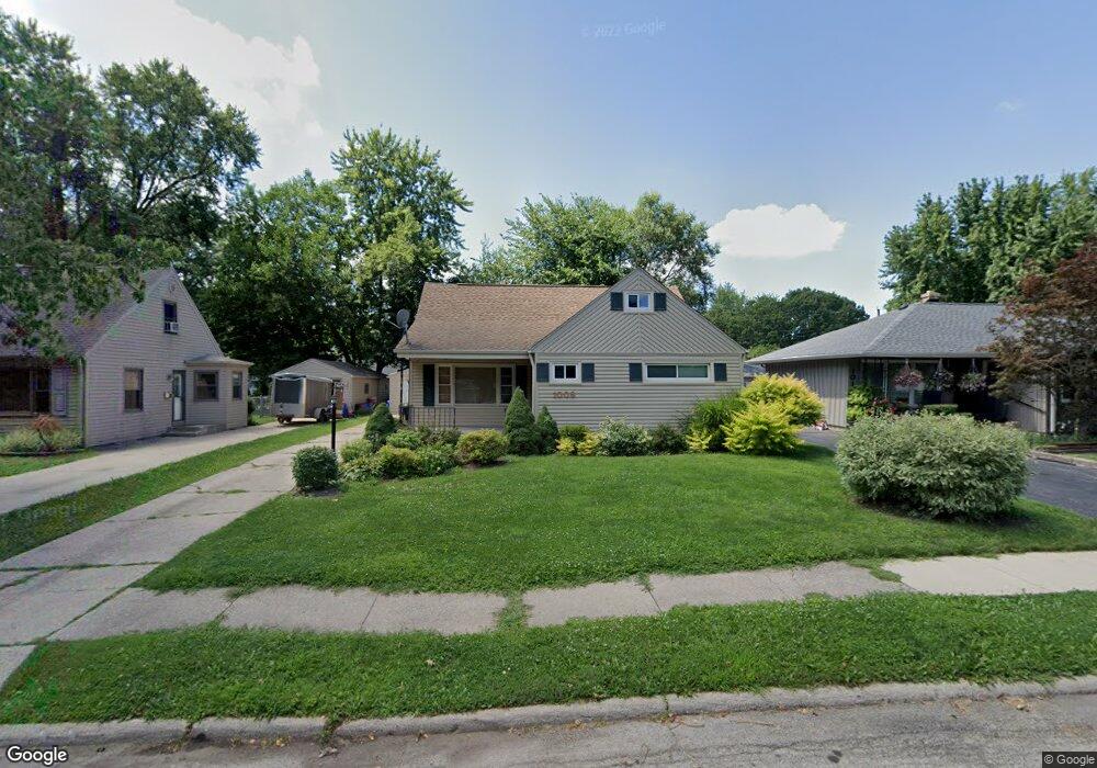
1008 Westchester Dr Rockford, IL 61107
Estimated Value: $196,508 - $235,000
3
Beds
2
Baths
1,712
Sq Ft
$124/Sq Ft
Est. Value
About This Home
This home is located at 1008 Westchester Dr, Rockford, IL 61107 and is currently estimated at $213,127, approximately $124 per square foot. 1008 Westchester Dr is a home located in Winnebago County with nearby schools including Bloom Elementary School, Eisenhower Middle School, and Guilford High School.
Ownership History
Date
Name
Owned For
Owner Type
Purchase Details
Closed on
Jul 31, 2020
Sold by
Koeller Gina M
Bought by
Florentals Llc
Current Estimated Value
Home Financials for this Owner
Home Financials are based on the most recent Mortgage that was taken out on this home.
Original Mortgage
$100,000
Outstanding Balance
$28,625
Interest Rate
3.1%
Mortgage Type
Credit Line Revolving
Estimated Equity
$184,502
Purchase Details
Closed on
May 7, 2019
Sold by
Koeller Kyle D
Bought by
Koeller Gina M
Purchase Details
Closed on
Apr 7, 2011
Bought by
Koeller Kyle D and Koeller Gina M
Create a Home Valuation Report for This Property
The Home Valuation Report is an in-depth analysis detailing your home's value as well as a comparison with similar homes in the area
Home Values in the Area
Average Home Value in this Area
Purchase History
| Date | Buyer | Sale Price | Title Company |
|---|---|---|---|
| Florentals Llc | $115,000 | Savaiano Anthony A | |
| Koeller Gina M | -- | None Listed On Document | |
| Koeller Kyle D | $102,500 | -- |
Source: Public Records
Mortgage History
| Date | Status | Borrower | Loan Amount |
|---|---|---|---|
| Open | Florentals Llc | $100,000 |
Source: Public Records
Tax History Compared to Growth
Tax History
| Year | Tax Paid | Tax Assessment Tax Assessment Total Assessment is a certain percentage of the fair market value that is determined by local assessors to be the total taxable value of land and additions on the property. | Land | Improvement |
|---|---|---|---|---|
| 2024 | $4,375 | $52,166 | $5,176 | $46,990 |
| 2023 | $4,153 | $45,998 | $4,564 | $41,434 |
| 2022 | $4,012 | $41,113 | $4,079 | $37,034 |
| 2021 | $3,885 | $37,697 | $3,740 | $33,957 |
| 2020 | $3,811 | $35,638 | $3,536 | $32,102 |
| 2019 | $3,747 | $33,967 | $3,370 | $30,597 |
| 2018 | $3,780 | $33,777 | $3,176 | $30,601 |
| 2017 | $3,906 | $32,326 | $3,040 | $29,286 |
| 2016 | $3,885 | $31,720 | $2,983 | $28,737 |
| 2015 | $3,596 | $29,508 | $2,982 | $26,526 |
| 2014 | $3,280 | $27,698 | $3,721 | $23,977 |
Source: Public Records
Map
Nearby Homes
- 1104 Winthrop Ln
- 819 James Ave
- 2920 Buckingham Dr
- 705 Woodlane Ave
- 1419 Roncevalles Ave
- 2215 Guilford Rd
- 3610 Arden Ct
- 701 Lundvall Ave
- 611 Robert Ave
- 2133 Guilford Rd
- 2224 Princeton Ave
- 2516 Highcrest Rd
- 404 Vale Ave
- 3820 Brendenwood Rd
- 641 Paris Ave
- 1928 Bradley Rd
- 3606 Pinecrest Rd
- 3121 Crosby St
- 1012 Westchester Dr
- 1004 Westchester Dr
- 1211 Parkwood Ave
- 924 Westchester Dr
- 1016 Westchester Dr
- 1215 Parkwood Ave
- 1020 Westchester Dr
- 1011 Westchester Dr
- 1007 Westchester Dr
- 1207 Parkwood Ave
- 918 Westchester Dr
- 1015 Westchester Dr
- 1221 Parkwood Ave
- 1003 Westchester Dr
- 1019 Westchester Dr
- 925 Westchester Dr
- 1023 Westchester Dr
- 1203 Parkwood Ave
- 1515 Lundvall Ave
- 1509 Lundvall Ave