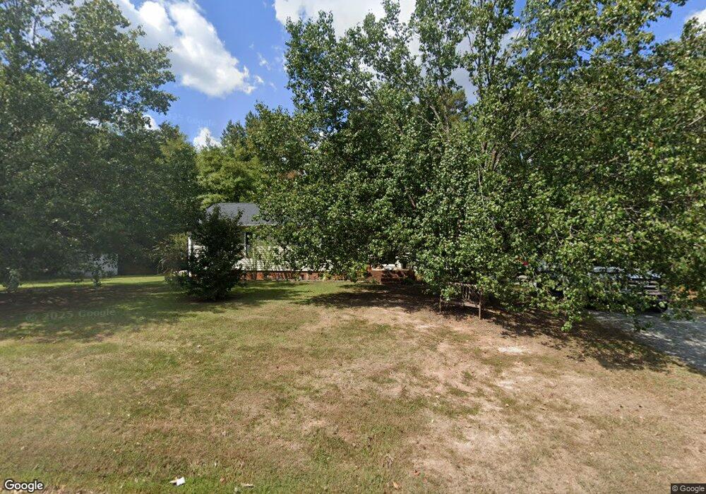
1008 Wrenn Rd Durham, NC 27703
Bethesda NeighborhoodEstimated Value: $334,000 - $370,000
2
Beds
2
Baths
1,568
Sq Ft
$228/Sq Ft
Est. Value
About This Home
This home is located at 1008 Wrenn Rd, Durham, NC 27703 and is currently estimated at $356,821, approximately $227 per square foot. 1008 Wrenn Rd is a home located in Durham County with nearby schools including Bethesda Elementary School, John W Neal Middle School, and Southern School of Energy & Sustainability.
Ownership History
Date
Name
Owned For
Owner Type
Purchase Details
Closed on
Mar 18, 1999
Sold by
Mitchell Donald W and Mitchell Michelle M
Bought by
Ennis William E and Ennis Robin M
Current Estimated Value
Home Financials for this Owner
Home Financials are based on the most recent Mortgage that was taken out on this home.
Original Mortgage
$84,738
Outstanding Balance
$21,175
Interest Rate
7.13%
Estimated Equity
$335,646
Create a Home Valuation Report for This Property
The Home Valuation Report is an in-depth analysis detailing your home's value as well as a comparison with similar homes in the area
Home Values in the Area
Average Home Value in this Area
Purchase History
| Date | Buyer | Sale Price | Title Company |
|---|---|---|---|
| Ennis William E | -- | -- |
Source: Public Records
Mortgage History
| Date | Status | Borrower | Loan Amount |
|---|---|---|---|
| Open | Ennis William E | $84,738 |
Source: Public Records
Tax History
| Year | Tax Paid | Tax Assessment Tax Assessment Total Assessment is a certain percentage of the fair market value that is determined by local assessors to be the total taxable value of land and additions on the property. | Land | Improvement |
|---|---|---|---|---|
| 2025 | $2,612 | $366,533 | $127,750 | $238,783 |
| 2024 | $1,769 | $163,635 | $29,260 | $134,375 |
| 2023 | $1,702 | $163,635 | $29,260 | $134,375 |
| 2022 | $1,648 | $163,635 | $29,260 | $134,375 |
| 2021 | $1,435 | $163,635 | $29,260 | $134,375 |
| 2020 | $1,403 | $163,635 | $29,260 | $134,375 |
| 2019 | $1,386 | $163,635 | $29,260 | $134,375 |
| 2018 | $1,181 | $127,942 | $18,287 | $109,655 |
| 2017 | $1,143 | $127,942 | $18,287 | $109,655 |
| 2016 | $1,107 | $127,942 | $18,287 | $109,655 |
| 2015 | $1,833 | $183,492 | $18,394 | $165,098 |
| 2014 | $1,842 | $183,492 | $18,394 | $165,098 |
Source: Public Records
Map
Nearby Homes
- 3642 Star Gazing Ln
- 3906 Passenger Place
- 3857 Angier Ave
- 1012 Depot Dr
- 1017 Depot Dr
- 1112 Pate Farm Ln
- 905 Lippincott Rd
- 10 Heiss St
- 1610 Stone Rd
- 1172 Pate Farm Ln
- 727A Peyton Ave
- 3212 Opal Dr
- 3214 Opal Dr
- 2002 Strickland Oak Way
- 3525 Angier Ave
- 902 Talbot Place
- 3908 Cash Rd
- 1035 Fitchie Place
- 2203 Mica Ridge Ln
- 2159 Mica Ridge Ln
- 3739 Angier Ave
- 3730 Angier Ave
- 3730 Angier Ave Unit 3
- 3735 Angier Ave
- 3810 Angier Ave
- 3733 Angier Ave
- 3814 Angier Ave
- 1103 Wrenn Rd
- 2312 Jollay St
- 1104 Wrenn Rd
- 2304 Jollay St
- 3657 Star Gazing Ln
- 2300 Jollay St
- 3653 Star Gazing Ln
- 3649 Star Gazing Ln
- 2280 Jollay St Unit 249 - Somerset B
- 3645 Star Gazing Ln
- 1107 Stone Rd
- 3641 Star Gazing Ln
- 2276 Jollay St
Your Personal Tour Guide
Ask me questions while you tour the home.