10080 Burnside Ct Grand Blanc, MI 48439
Estimated Value: $381,000 - $435,000
3
Beds
3
Baths
1,982
Sq Ft
$206/Sq Ft
Est. Value
About This Home
This home is located at 10080 Burnside Ct, Grand Blanc, MI 48439 and is currently estimated at $408,033, approximately $205 per square foot. 10080 Burnside Ct is a home located in Genesee County with nearby schools including Cook Elementary School, Mason Elementary School, and Grand Blanc East Middle School.
Ownership History
Date
Name
Owned For
Owner Type
Purchase Details
Closed on
Mar 26, 2024
Sold by
Botta Rao Srinivasa and Botta Uma Rajyalaxmi
Bought by
Botta Rao Srinivasa and Botta Uma Rajyalaxmi
Current Estimated Value
Purchase Details
Closed on
Mar 29, 2017
Sold by
Bota Raos
Bought by
Botta Rao S and Botta Uma V R
Purchase Details
Closed on
May 5, 2003
Sold by
Chintalapudi Udaya and Lolabatto Jyothi
Bought by
Botta Raos and Botta Uma V R
Home Financials for this Owner
Home Financials are based on the most recent Mortgage that was taken out on this home.
Original Mortgage
$192,000
Interest Rate
5.87%
Mortgage Type
Purchase Money Mortgage
Purchase Details
Closed on
Jul 27, 1999
Sold by
Antoniou Sotirios and Antoniou Maria S
Bought by
Chintalapudi Udaya and Lolabattu Jyothi
Create a Home Valuation Report for This Property
The Home Valuation Report is an in-depth analysis detailing your home's value as well as a comparison with similar homes in the area
Home Values in the Area
Average Home Value in this Area
Purchase History
| Date | Buyer | Sale Price | Title Company |
|---|---|---|---|
| Botta Rao Srinivasa | -- | None Listed On Document | |
| Botta Rao S | -- | None Available | |
| Botta Raos | $240,000 | Citizens Title Services | |
| Chintalapudi Udaya | $210,000 | Lawyers Title |
Source: Public Records
Mortgage History
| Date | Status | Borrower | Loan Amount |
|---|---|---|---|
| Previous Owner | Botta Raos | $192,000 |
Source: Public Records
Tax History Compared to Growth
Tax History
| Year | Tax Paid | Tax Assessment Tax Assessment Total Assessment is a certain percentage of the fair market value that is determined by local assessors to be the total taxable value of land and additions on the property. | Land | Improvement |
|---|---|---|---|---|
| 2025 | $5,750 | $174,000 | $0 | $0 |
| 2024 | $3,421 | $164,700 | $0 | $0 |
| 2023 | $3,264 | $168,200 | $0 | $0 |
| 2022 | $5,862 | $145,300 | $0 | $0 |
| 2021 | $5,781 | $139,600 | $0 | $0 |
| 2020 | $3,010 | $131,500 | $0 | $0 |
| 2019 | $2,580 | $107,100 | $0 | $0 |
| 2018 | $4,913 | $105,600 | $0 | $0 |
| 2017 | $4,736 | $107,300 | $0 | $0 |
| 2016 | $4,741 | $107,700 | $0 | $0 |
| 2015 | $4,566 | $107,600 | $0 | $0 |
| 2012 | -- | $90,100 | $90,100 | $0 |
Source: Public Records
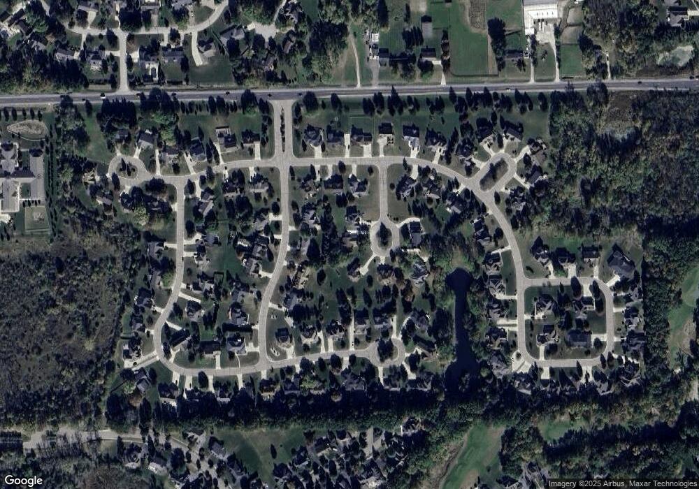
Map
Nearby Homes
- 9818 Burning Tree Dr
- 9705 Burning Tree Dr
- 74 Westwood Dr
- 10195 Golfside Dr
- 75 Westwood Dr
- 76 Westwood Dr
- 6264 Muirfield Dr Unit 14
- 77 Westwood Dr
- 0 Westwood Dr Unit 20240007181
- 5239 E Baldwin Rd
- 78 Westwood Dr
- 6286 Merion Ln Unit 75
- 5681 Woodfield Pkwy Unit 52
- 6138 Natures Cove Unit 14
- 6320 Knob Bend Dr
- 6326 Knob Bend Dr
- 9310 Fairway Trail
- 11204 Pinehurst Ln Unit 12
- 5215 Sunlyn Dr
- 11206 Pinehurst Ln
- 10070 Burnside Ct
- 10090 Burnside Ct
- 10073 Braemoor Dr
- 10065 Braemoor Dr
- 10098 Burnside Ct
- 10081 Braemoor Dr
- 6004 Green Bank Dr
- 6016 Green Bank Dr
- 10071 Burnside Ct
- 10195 Aberdeen Dr
- 6036 Green Bank Dr
- 10093 Braemoor Dr
- 10185 Aberdeen Dr
- 10203 Aberdeen Dr
- 5520 Green Bank Dr Unit Bldg-Unit
- 5520 Green Bank Dr
- 10077 Burnside Ct
- 10076 Braemoor Dr
- 10064 Braemoor Dr
- 6050 Green Bank Dr