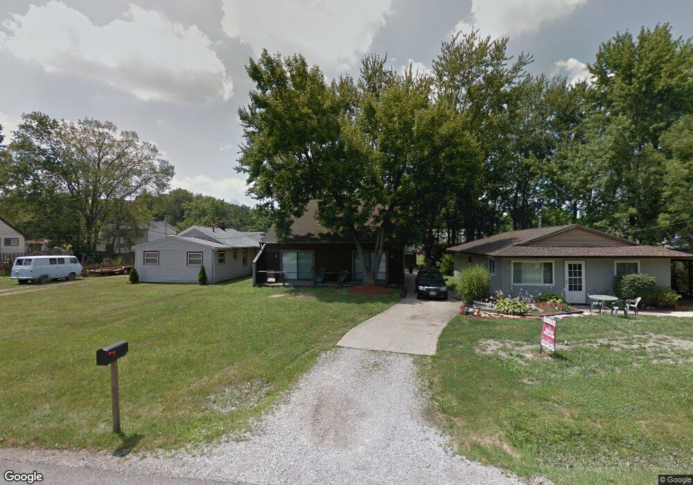
10080 Dupont Dr Columbia Station, OH 44028
Estimated Value: $246,000 - $293,000
3
Beds
2
Baths
1,958
Sq Ft
$141/Sq Ft
Est. Value
About This Home
This home is located at 10080 Dupont Dr, Columbia Station, OH 44028 and is currently estimated at $275,321, approximately $140 per square foot. 10080 Dupont Dr is a home located in Lorain County with nearby schools including Copopa Elementary School, Columbia Middle School, and Columbia High School.
Ownership History
Date
Name
Owned For
Owner Type
Purchase Details
Closed on
Aug 12, 2024
Sold by
Stropko James T and Stropko James J
Bought by
Stropko Danielle Marie
Current Estimated Value
Purchase Details
Closed on
Nov 24, 2009
Sold by
Secretary Of Veterans Affairs
Bought by
Stropko James T
Purchase Details
Closed on
Apr 24, 2009
Sold by
Miller William E and Miller Darlene L
Bought by
Secretary Of Veterans Affairs
Create a Home Valuation Report for This Property
The Home Valuation Report is an in-depth analysis detailing your home's value as well as a comparison with similar homes in the area
Home Values in the Area
Average Home Value in this Area
Purchase History
| Date | Buyer | Sale Price | Title Company |
|---|---|---|---|
| Stropko Danielle Marie | -- | Network Land Title | |
| Stropko James T | -- | Guardian Title | |
| Secretary Of Veterans Affairs | $50,000 | None Available |
Source: Public Records
Tax History Compared to Growth
Tax History
| Year | Tax Paid | Tax Assessment Tax Assessment Total Assessment is a certain percentage of the fair market value that is determined by local assessors to be the total taxable value of land and additions on the property. | Land | Improvement |
|---|---|---|---|---|
| 2024 | $3,180 | $67,361 | $17,493 | $49,868 |
| 2023 | $2,938 | $54,327 | $11,263 | $43,064 |
| 2022 | $2,675 | $54,327 | $11,263 | $43,064 |
| 2021 | $2,702 | $54,327 | $11,263 | $43,064 |
| 2020 | $2,535 | $45,730 | $9,480 | $36,250 |
| 2019 | $2,521 | $45,730 | $9,480 | $36,250 |
| 2018 | $2,602 | $45,730 | $9,480 | $36,250 |
| 2017 | $2,661 | $44,380 | $6,020 | $38,360 |
| 2016 | $2,681 | $44,380 | $6,020 | $38,360 |
| 2015 | $2,719 | $44,380 | $6,020 | $38,360 |
| 2014 | $2,732 | $44,380 | $6,020 | $38,360 |
| 2013 | $2,742 | $44,380 | $6,020 | $38,360 |
Source: Public Records
Map
Nearby Homes
- 9855 Dupont Dr
- V/L Aldridge Dr
- 8809 Leatherleaf Dr
- 24628 Sprague Rd
- 8960 Leatherleaf Dr
- 8896 Firethorne Dr
- 8981 Leatherleaf Dr
- 23390 Wainwright Terrace
- 9797 Sugarbush Cir
- 23514 Grist Mill Ct Unit 4
- 23155 Wainwright Terrace
- 10702 Winding Creek Chase
- 24032 Edward Ln
- 23003 Chandlers Ln Unit 219
- 23003 Chandlers Ln Unit 230
- 23002 Chandlers Ln
- 23002 Chandlers Ln Unit 342
- 23002 Chandlers Ln Unit 221
- 9384 N Marks Rd
- 1046 Ashford Ct
- 10102 Dupont Dr
- 10076 Dupont Dr
- 10087 Emerson Dr
- 10124 Dupont Dr
- 10101 Emerson Dr
- 10069 Emerson Dr
- 10042 Dupont Dr
- 10115 Emerson Dr
- 10089 Dupont Dr
- 10059 Dupont Dr
- 10129 Emerson Dr
- 10115 Dupont Dr
- 10146 Dupont Dr
- 10030 Dupont Dr
- 10043 Emerson Dr
- 10131 Dupont Dr
- 10031 Dupont Dr
- 10145 Emerson Dr
- VL Dupont Dr
- 10163 Dupont Dr