10082 State Route 21 NW Strasburg, OH 44680
Estimated Value: $275,000 - $485,000
3
Beds
3
Baths
2,040
Sq Ft
$190/Sq Ft
Est. Value
About This Home
This home is located at 10082 State Route 21 NW, Strasburg, OH 44680 and is currently estimated at $387,088, approximately $189 per square foot. 10082 State Route 21 NW is a home located in Tuscarawas County with nearby schools including Strasburg-Franklin Elementary School and Strasburg-Franklin High School.
Ownership History
Date
Name
Owned For
Owner Type
Purchase Details
Closed on
Oct 11, 2002
Sold by
Belmont National Bank
Bought by
Huprich Dave and Huprich Raven D
Current Estimated Value
Home Financials for this Owner
Home Financials are based on the most recent Mortgage that was taken out on this home.
Original Mortgage
$17,000
Interest Rate
6.34%
Mortgage Type
New Conventional
Purchase Details
Closed on
Feb 24, 1999
Sold by
Slankard Jerry L and Slankard Judy L
Bought by
Miller Jeffery C
Create a Home Valuation Report for This Property
The Home Valuation Report is an in-depth analysis detailing your home's value as well as a comparison with similar homes in the area
Home Values in the Area
Average Home Value in this Area
Purchase History
| Date | Buyer | Sale Price | Title Company |
|---|---|---|---|
| Huprich Dave | $20,000 | -- | |
| Miller Jeffery C | $27,000 | Colonial Title Agency Inc | |
| Kohler Ii Albert W | $24,000 | Colonial Title Agency Inc |
Source: Public Records
Mortgage History
| Date | Status | Borrower | Loan Amount |
|---|---|---|---|
| Closed | Huprich Dave | $17,000 |
Source: Public Records
Tax History Compared to Growth
Tax History
| Year | Tax Paid | Tax Assessment Tax Assessment Total Assessment is a certain percentage of the fair market value that is determined by local assessors to be the total taxable value of land and additions on the property. | Land | Improvement |
|---|---|---|---|---|
| 2024 | $3,725 | $98,820 | $16,430 | $82,390 |
| 2023 | $3,725 | $282,350 | $46,950 | $235,400 |
| 2022 | $3,756 | $98,823 | $16,433 | $82,390 |
| 2021 | $3,709 | $91,666 | $16,069 | $75,597 |
| 2020 | $3,499 | $91,666 | $16,069 | $75,597 |
| 2019 | $3,513 | $91,666 | $16,069 | $75,597 |
| 2018 | $3,129 | $77,350 | $13,560 | $63,790 |
| 2017 | $3,142 | $77,350 | $13,560 | $63,790 |
| 2016 | $3,141 | $77,350 | $13,560 | $63,790 |
| 2014 | $2,726 | $64,150 | $6,980 | $57,170 |
| 2013 | $2,609 | $64,150 | $6,980 | $57,170 |
Source: Public Records
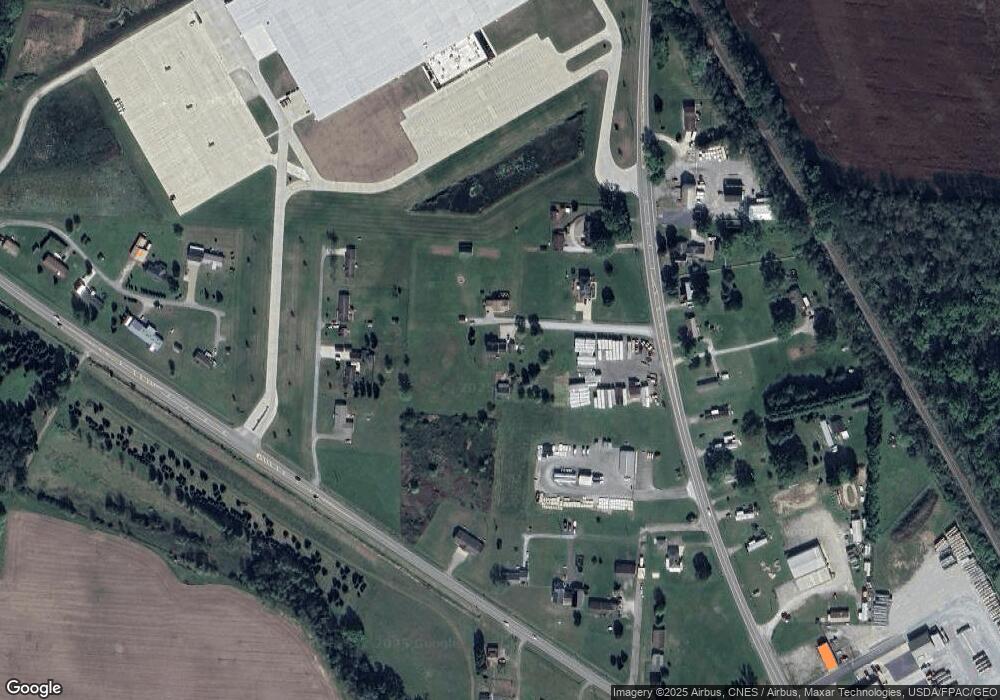
Map
Nearby Homes
- 0 State Route 250 NW Unit 5161477
- 5320 Angela Dr NW Unit 27
- 0 State Route 250 NW
- 0 Erie Ave SW
- 11057 Johnsford Rd SW
- 0 Dundee Strasburg Rd NW
- 0 7th St NW
- 619 3rd Ave SW
- 124 2nd Ave NW
- 7500 Central Rd NW
- 143 2nd St SE
- 424 7th Ave NW
- 602 S Bodmer Ave
- 433 9th St SW
- 0 Shetler Ave SW Unit 5113675
- 0 Cherry Run Rd NW
- 3203 Mount Pleasant Rd
- 7893 Walnut Creek Bottom Rd NW
- 0 Day Ave SW Unit 5157660
- 1296 Russell Dr NW
- 10088 State Route 21 NW
- 10104 State Route 21 NW
- 5187 State Route 250 NW
- 10132 State Route 21 NW
- 5183 State Route 250 NW
- 5183 State Route 250 NW Unit lot 2
- 9999 State Route 21 NW
- 5103 State Route 250 NW
- 10077 State Route 21 NW
- 10119 State Route 21 NW
- 10149 State Route 21 NW
- 5053 State Route 250 NW
- 9964 State Route 21 NW
- 5072 State Route 250 NW
- 10063 State Route 21 NW
- 10189 State Route 21 NW
- 5307 State Route 250 NW
- 4991 State Route 250 NW
- 5026 State Route 250 NW
- 9887 State Route 21 NW