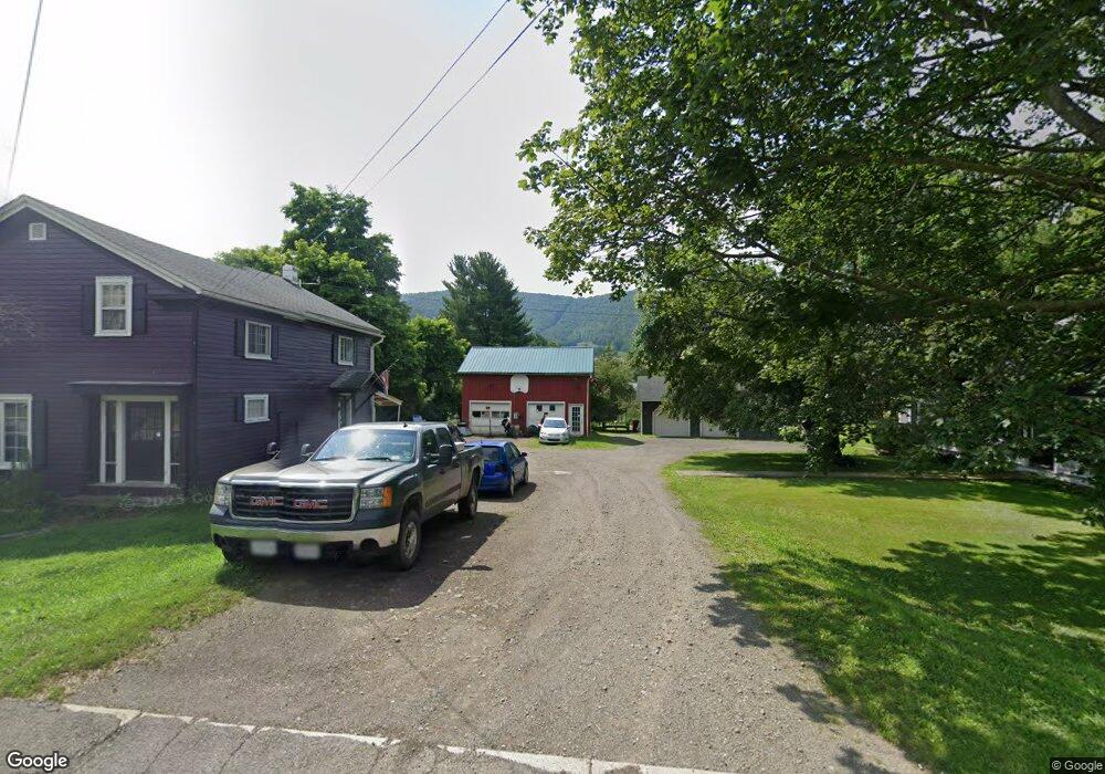
10088 Route 414 Canton, PA 17724
Estimated Value: $83,000 - $414,000
3
Beds
1
Bath
1,365
Sq Ft
$142/Sq Ft
Est. Value
About This Home
This home is located at 10088 Route 414, Canton, PA 17724 and is currently estimated at $193,954, approximately $142 per square foot. 10088 Route 414 is a home located in Bradford County with nearby schools including Canton Area Elementary School and Canton Junior/Senior High School.
Ownership History
Date
Name
Owned For
Owner Type
Purchase Details
Closed on
May 27, 2010
Sold by
Dekay Harry
Bought by
Wilcox Jason D and Wilcox Chasidy
Current Estimated Value
Purchase Details
Closed on
Jan 14, 2010
Sold by
Minarsky Rosemary A and Dekay Harry
Bought by
Dekay Harry
Home Financials for this Owner
Home Financials are based on the most recent Mortgage that was taken out on this home.
Original Mortgage
$66,610
Interest Rate
5.05%
Mortgage Type
Purchase Money Mortgage
Purchase Details
Closed on
Jun 18, 2009
Sold by
Holcomb David and Holcomb Jane M
Bought by
Dckay Harry and Minarsky Rosemary A
Home Financials for this Owner
Home Financials are based on the most recent Mortgage that was taken out on this home.
Original Mortgage
$82,500
Interest Rate
4.93%
Mortgage Type
Purchase Money Mortgage
Create a Home Valuation Report for This Property
The Home Valuation Report is an in-depth analysis detailing your home's value as well as a comparison with similar homes in the area
Home Values in the Area
Average Home Value in this Area
Purchase History
| Date | Buyer | Sale Price | Title Company |
|---|---|---|---|
| Wilcox Jason D | $113,000 | None Available | |
| Dekay Harry | -- | None Available | |
| Dckay Harry | $82,500 | None Available |
Source: Public Records
Mortgage History
| Date | Status | Borrower | Loan Amount |
|---|---|---|---|
| Previous Owner | Dekay Harry | $66,610 | |
| Previous Owner | Dckay Harry | $82,500 |
Source: Public Records
Tax History Compared to Growth
Tax History
| Year | Tax Paid | Tax Assessment Tax Assessment Total Assessment is a certain percentage of the fair market value that is determined by local assessors to be the total taxable value of land and additions on the property. | Land | Improvement |
|---|---|---|---|---|
| 2025 | $919 | $17,850 | $0 | $0 |
| 2024 | $880 | $17,850 | $0 | $0 |
| 2023 | $880 | $17,850 | $0 | $0 |
| 2022 | $879 | $17,850 | $0 | $0 |
| 2021 | $879 | $17,850 | $0 | $0 |
| 2020 | $868 | $17,850 | $0 | $0 |
| 2019 | $1,584 | $17,850 | $0 | $0 |
| 2018 | $836 | $17,850 | $0 | $0 |
| 2017 | $824 | $17,850 | $0 | $0 |
| 2016 | -- | $17,850 | $0 | $0 |
| 2015 | -- | $17,850 | $0 | $0 |
| 2014 | $366 | $17,850 | $0 | $0 |
Source: Public Records
Map
Nearby Homes
- 445 Lilley Hill Rd
- 25 Bonney Rd
- 172 Bonney Rd
- 2331 Bailey Corners Rd
- 5947 Rt 514
- 9 Farmall Ln
- 1719 Mountain Rd
- 448 Mcnaught Rd
- 211 Hanks Rd
- 30 School House Dr
- 14751 Route 14
- 63 Brann St
- 137 Tuffy Rd
- PARCEL 030 Glory Ridge Rd
- Parc 030 Glory Ridge Rd
- 114 Glory Ridge Rd
- 115 Glory Ridge Rd
- 108 S Washington St
- 118 E South Ave
- 85 N Minnequa Ave
- 10120 Route 414
- 10106 Route 414
- 311 Mill St
- 10132 Route 414
- 10097 State Route 414
- 10132 State Route 414
- 10048 Route 414
- 316 Mill St
- 332 Mill St
- 279 Mill St
- 23 Brook Dr
- 296 Mill St
- 10164 State Route 414
- 340 Mill St
- 290 Mill St
- 10006 Route 414
- 26 Brook Dr
- 10161 Route 414
- 80 Lilley Hill Rd Unit 200
- 10176 Route 414