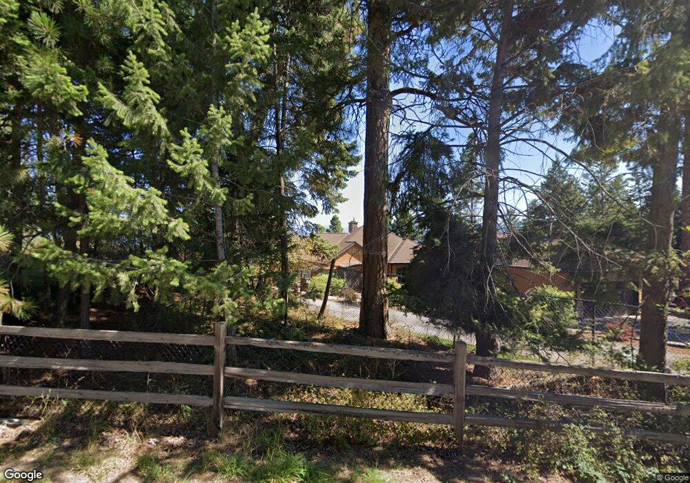
1009 Angel Point Rd Lakeside, MT 59922
Estimated Value: $3,382,000 - $6,918,000
4
Beds
3
Baths
5,252
Sq Ft
$984/Sq Ft
Est. Value
About This Home
This home is located at 1009 Angel Point Rd, Lakeside, MT 59922 and is currently estimated at $5,169,118, approximately $984 per square foot. 1009 Angel Point Rd is a home located in Flathead County with nearby schools including Lakeside Elementary School, Somers Middle School, and Flathead High School.
Ownership History
Date
Name
Owned For
Owner Type
Purchase Details
Closed on
Sep 26, 2006
Sold by
Schaffer Darold R and Schaffer Dore
Bought by
Edwards Stephen and Edwards Kathryn
Current Estimated Value
Home Financials for this Owner
Home Financials are based on the most recent Mortgage that was taken out on this home.
Original Mortgage
$1,001,064
Outstanding Balance
$599,004
Interest Rate
6.51%
Mortgage Type
Purchase Money Mortgage
Estimated Equity
$4,570,114
Create a Home Valuation Report for This Property
The Home Valuation Report is an in-depth analysis detailing your home's value as well as a comparison with similar homes in the area
Purchase History
| Date | Buyer | Sale Price | Title Company |
|---|---|---|---|
| Edwards Stephen | -- | Alliance Title |
Source: Public Records
Mortgage History
| Date | Status | Borrower | Loan Amount |
|---|---|---|---|
| Open | Edwards Stephen | $1,001,064 |
Source: Public Records
Tax History
| Year | Tax Paid | Tax Assessment Tax Assessment Total Assessment is a certain percentage of the fair market value that is determined by local assessors to be the total taxable value of land and additions on the property. | Land | Improvement |
|---|---|---|---|---|
| 2025 | $25,500 | $3,828,160 | $0 | $0 |
| 2024 | $16,189 | $3,033,810 | $0 | $0 |
| 2023 | $21,142 | $3,033,810 | $0 | $0 |
| 2022 | $14,874 | $2,145,220 | $0 | $0 |
| 2021 | $16,126 | $2,145,220 | $0 | $0 |
| 2020 | $15,653 | $2,020,520 | $0 | $0 |
| 2019 | $15,440 | $2,020,520 | $0 | $0 |
| 2018 | $15,916 | $1,988,290 | $0 | $0 |
| 2017 | $14,661 | $1,988,290 | $0 | $0 |
| 2016 | $13,151 | $1,870,890 | $0 | $0 |
| 2015 | $13,643 | $1,870,890 | $0 | $0 |
| 2014 | $12,371 | $1,064,321 | $0 | $0 |
Source: Public Records
Map
Nearby Homes
- 953 Angel Point Rd
- 207 Angel Point Preserve
- 268 Tamarack Terrace Rd
- 272 Tamarack Terrace Rd
- 100 Deep Bay
- 100 & 104 Deep Bay Dr
- 66 Angel Point Rd
- 27 Bayview Dr
- 458 Political Hill Rd
- 480 Political Hill Rd
- 360 Ridge Line Dr
- 18082 & 18090 Demersville Wagon Rd
- 100 Political Hill Rd
- 351 Ridge Line Dr
- 103 Tamarack Woods Dr
- 240 Blacktail Rd
- 143 Parkview Ln
- 149 Monet Rd
- 150 Adams St Unit 4
- 207 Stoner Loop Unit A
- 1005 Angel Point Rd
- 1021 Angel Point Rd
- 1029 Angel Point Rd
- 1020 Angel Point Rd
- 1020 Angel Point Rd Unit 1050, 1060
- 975 Angel Point Rd
- 982 Angel Point Rd
- 1035 Angel Point Rd
- 960 Angel Point Rd
- 1034 Angel Point Rd
- 1036 Angel Point Rd
- 1028 Angel Point Rd
- 1041 Angel Point Rd
- 953 & 921 Angel Point Rd
- 953 and 921 Angel Point Rd
- 1050 Angel Point Rd
- 1040 Angel Point Rd
- 1055 Angel Point Rd
- Nhn Angel Point Rd
- 944 Angel Point Rd
Your Personal Tour Guide
Ask me questions while you tour the home.