1009 Arcaro Ct Florissant, MO 63034
Estimated Value: $284,000 - $296,229
4
Beds
3
Baths
2,048
Sq Ft
$142/Sq Ft
Est. Value
About This Home
This home is located at 1009 Arcaro Ct, Florissant, MO 63034 and is currently estimated at $290,307, approximately $141 per square foot. 1009 Arcaro Ct is a home located in St. Louis County with nearby schools including North Middle School, Hazelwood Central High School, and St Norbert School.
Ownership History
Date
Name
Owned For
Owner Type
Purchase Details
Closed on
May 16, 2018
Sold by
May Richard Wayne and May Family Trust
Bought by
May Rentals Llc
Current Estimated Value
Purchase Details
Closed on
Apr 10, 2015
Sold by
May Richard M and May Karyn J
Bought by
May Family Trust and May Karyn Jean
Purchase Details
Closed on
Jan 7, 2015
Sold by
May Karyn Jean and May Richard Wayne
Bought by
May Richard W and May Karyn J
Purchase Details
Closed on
Jan 25, 2006
Sold by
May Richard W and May Karyn J
Bought by
May Karyn Jean and May Richard Wayne
Create a Home Valuation Report for This Property
The Home Valuation Report is an in-depth analysis detailing your home's value as well as a comparison with similar homes in the area
Home Values in the Area
Average Home Value in this Area
Purchase History
| Date | Buyer | Sale Price | Title Company |
|---|---|---|---|
| May Rentals Llc | -- | None Available | |
| May Family Trust | -- | None Available | |
| May Richard W | -- | None Available | |
| May Karyn Jean | -- | None Available |
Source: Public Records
Tax History Compared to Growth
Tax History
| Year | Tax Paid | Tax Assessment Tax Assessment Total Assessment is a certain percentage of the fair market value that is determined by local assessors to be the total taxable value of land and additions on the property. | Land | Improvement |
|---|---|---|---|---|
| 2025 | $4,147 | $55,570 | $6,230 | $49,340 |
| 2024 | $4,147 | $46,020 | $3,590 | $42,430 |
| 2023 | $4,133 | $46,020 | $3,590 | $42,430 |
| 2022 | $3,788 | $37,520 | $5,470 | $32,050 |
| 2021 | $3,584 | $37,520 | $5,470 | $32,050 |
| 2020 | $3,187 | $31,060 | $6,230 | $24,830 |
| 2019 | $3,162 | $31,060 | $6,230 | $24,830 |
| 2018 | $3,103 | $28,180 | $3,590 | $24,590 |
| 2017 | $3,099 | $28,180 | $3,590 | $24,590 |
| 2016 | $3,135 | $28,040 | $3,570 | $24,470 |
| 2015 | $3,016 | $28,040 | $3,570 | $24,470 |
| 2014 | -- | $26,450 | $4,850 | $21,600 |
Source: Public Records
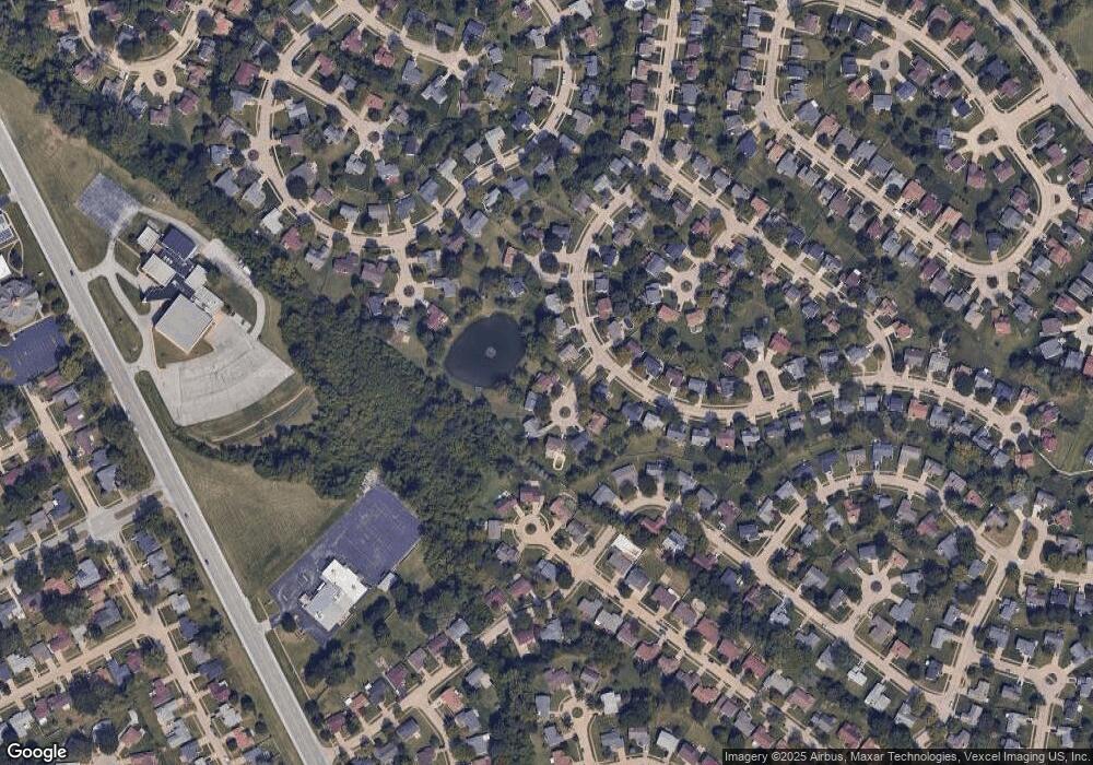
Map
Nearby Homes
- 3865 Kentucky Derby Dr
- 1323 Woodpath Dr
- 3849 Secretariat Dr
- 1056 Saratoga Springs Ct
- 1069 Saratoga Springs Ct
- 3870 Hope Haven Dr
- 16256 Rose Wreath Ln Unit 156
- 1303 Topsider Ct
- 3660 Woodman Dr
- 3932 Secretariat Dr
- 1273 Hermans Orchard Dr
- 3645 Woodman Dr
- 4097 Fox Island Dr
- 2 Aspen II at Riverstone
- 1455 Burnside Ct
- 3213 Yvette Ct
- 1638 Matlock Dr
- 2 Ashford at Riverstone
- 623 Bugle Run Dr
- 3811 Halter Ct
- 1003 Arcaro Ct
- 1015 Arcaro Ct
- 3843 Kentucky Derby Dr
- 1021 Arcaro Ct
- 1002 Arcaro Ct
- 3845 Kentucky Derby Dr
- 1008 Arcaro Ct
- 1020 Arcaro Ct
- 1014 Arcaro Ct
- 3838 Kentucky Derby Dr
- 3837 Kentucky Derby Dr
- 3836 Kentucky Derby Dr
- 3840 Kentucky Derby Dr
- 3847 Kentucky Derby Dr
- 1074 Patience Dr
- 3834 Kentucky Derby Dr
- 3842 Kentucky Derby Dr
- 3835 Kentucky Derby Dr
- 1212 Buckpasser Ct
- 1078 Patience Dr