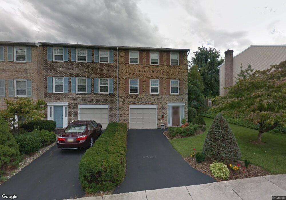
1009 Barnside Rd Allentown, PA 18103
Estimated Value: $348,000 - $382,000
3
Beds
3
Baths
1,932
Sq Ft
$187/Sq Ft
Est. Value
About This Home
This home is located at 1009 Barnside Rd, Allentown, PA 18103 and is currently estimated at $360,401, approximately $186 per square foot. 1009 Barnside Rd is a home located in Lehigh County with nearby schools including Wescosville Elementary School, Lower Macungie Middle School, and Emmaus High School.
Ownership History
Date
Name
Owned For
Owner Type
Purchase Details
Closed on
Jun 25, 1987
Sold by
Reynolds Leeann R
Bought by
Posch Frederick J and Posch Carolyn S
Current Estimated Value
Purchase Details
Closed on
May 2, 1984
Sold by
Val-You Builders Inc
Bought by
Reynolds Leeann R
Purchase Details
Closed on
Aug 5, 1976
Bought by
Val-You Builders Inc
Create a Home Valuation Report for This Property
The Home Valuation Report is an in-depth analysis detailing your home's value as well as a comparison with similar homes in the area
Home Values in the Area
Average Home Value in this Area
Purchase History
We collect this data history from publicly available records. To have your information removed, we recommend requesting removal directly through your county’s website.
| Date | Buyer | Sale Price | Title Company |
|---|---|---|---|
| Posch Frederick J | $115,000 | -- | |
| Reynolds Leeann R | $10,000 | -- | |
| Val-You Builders Inc | $90,000 | -- |
Source: Public Records
Tax History
| Year | Tax Paid | Tax Assessment Tax Assessment Total Assessment is a certain percentage of the fair market value that is determined by local assessors to be the total taxable value of land and additions on the property. | Land | Improvement |
|---|---|---|---|---|
| 2026 | $4,620 | $175,200 | $17,600 | $157,600 |
| 2025 | $4,473 | $175,200 | $17,600 | $157,600 |
| 2024 | $4,327 | $175,200 | $17,600 | $157,600 |
| 2023 | $4,241 | $175,200 | $17,600 | $157,600 |
| 2022 | $4,141 | $175,200 | $157,600 | $17,600 |
| 2021 | $4,053 | $175,200 | $17,600 | $157,600 |
| 2020 | $4,014 | $175,200 | $17,600 | $157,600 |
| 2019 | $3,946 | $175,200 | $17,600 | $157,600 |
| 2018 | $3,894 | $175,200 | $17,600 | $157,600 |
| 2017 | $3,826 | $175,200 | $17,600 | $157,600 |
| 2016 | -- | $175,200 | $17,600 | $157,600 |
| 2015 | -- | $175,200 | $17,600 | $157,600 |
| 2014 | -- | $175,200 | $17,600 | $157,600 |
Source: Public Records
Map
Nearby Homes
- 4617 N Hedgerow Dr
- 1250 Minesite Rd
- 1177 Treeline Dr
- 1050 Kressler Rd
- 4461 Kohler Dr
- 4860 Hemlock St
- 1078 Hill Dr
- 4882 Pine Grove Cir
- 4469 Lisa Ln
- 4353 E Texas Rd
- 1031 Village Round Unit 110L
- 1701 Minesite Rd
- 1312 Dorney Ave
- 5475 Hamilton Blvd Unit 23
- 5543 Stonecroft Ln
- 5517 Tanglewood Ln
- 123 S Cedarbrook Rd
- 4485 Redwood Ln
- 5622 Wedge Ln
- 1989 Forest Ln
- 1017 Barnside Rd
- 1021 Barnside Rd
- 1025 Barnside Rd
- 1003 Barnside Rd
- 1033 Barnside Rd
- 995 Barnside Rd
- 993 Barnside Ct
- 1037 Barnside Rd
- 4888 S Hedgerow Dr
- 989 Barnside Ct
- 991 Barnside Rd
- 1041 Barnside Rd
- 4546 N Hedgerow Dr
- 970 Barnside Rd
- 985 Barnside Ct
- 4878 S Hedgerow Dr
- 987 Barnside Rd
- 996 Barnside Ct
- 4542 N Hedgerow Dr
- 966 Barnside Rd
Your Personal Tour Guide
Ask me questions while you tour the home.