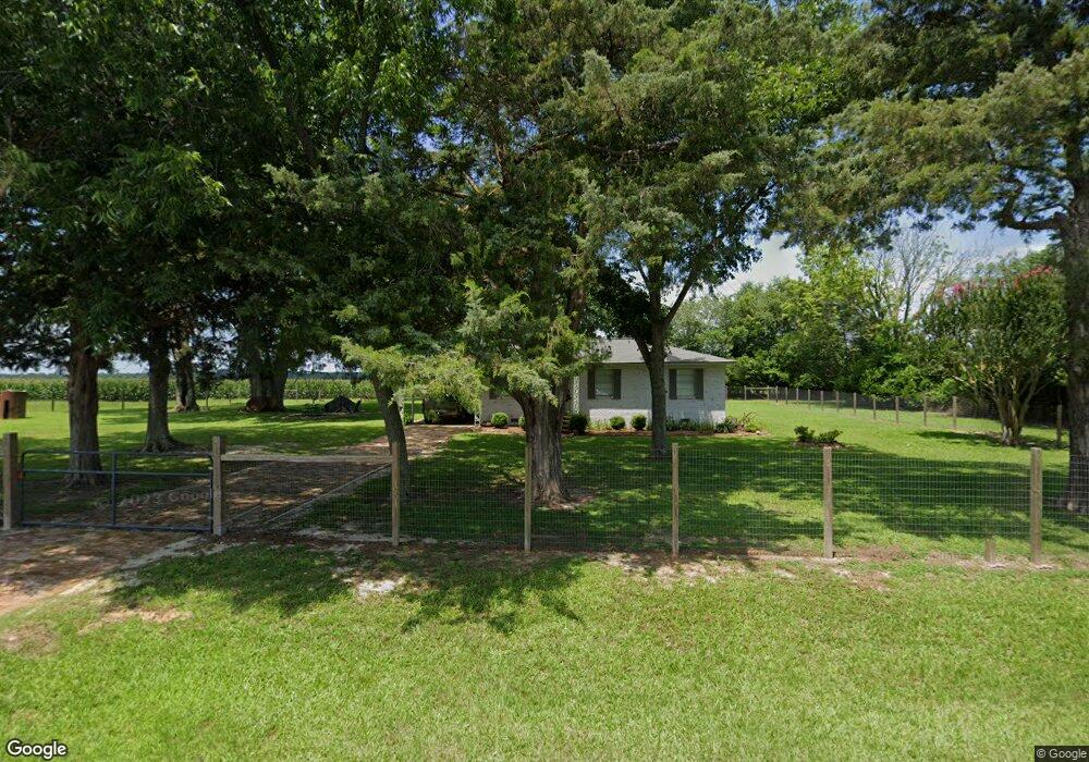
1009 Bear Bin Rd Dawson, GA 39842
Estimated Value: $73,748 - $101,000
3
Beds
1
Bath
975
Sq Ft
$88/Sq Ft
Est. Value
About This Home
This home is located at 1009 Bear Bin Rd, Dawson, GA 39842 and is currently estimated at $85,937, approximately $88 per square foot. 1009 Bear Bin Rd is a home located in Terrell County with nearby schools including Cooper-Carver Elementary School, Terrell Middle School, and Terrell High School.
Ownership History
Date
Name
Owned For
Owner Type
Purchase Details
Closed on
Dec 31, 2018
Sold by
Mcmanus Mary Molly Newman
Bought by
Bill Newman Farms Llc
Current Estimated Value
Purchase Details
Closed on
Dec 17, 2018
Sold by
John William Newman Rev Liv Trust
Bought by
Mcmanus Mary Molly Newman
Purchase Details
Closed on
Apr 15, 2013
Sold by
Marshall Henry Lee
Bought by
Newman Bill
Purchase Details
Closed on
Apr 2, 2013
Sold by
Marshall Henry Lee
Bought by
Marshall Henry Lee
Purchase Details
Closed on
Apr 4, 2012
Sold by
Robinson Eutha Mae
Bought by
Marshall Henry Lee
Create a Home Valuation Report for This Property
The Home Valuation Report is an in-depth analysis detailing your home's value as well as a comparison with similar homes in the area
Home Values in the Area
Average Home Value in this Area
Purchase History
| Date | Buyer | Sale Price | Title Company |
|---|---|---|---|
| Bill Newman Farms Llc | -- | -- | |
| Mcmanus Mary Molly Newman | $33,000 | -- | |
| John William Newman Rev Liv Trust | -- | -- | |
| Newman Bill | $45,000 | -- | |
| Marshall Henry Lee | $50,177 | -- | |
| Marshall Henry Lee | $35,000 | -- |
Source: Public Records
Tax History Compared to Growth
Tax History
| Year | Tax Paid | Tax Assessment Tax Assessment Total Assessment is a certain percentage of the fair market value that is determined by local assessors to be the total taxable value of land and additions on the property. | Land | Improvement |
|---|---|---|---|---|
| 2024 | $613 | $13,200 | $1,480 | $11,720 |
| 2023 | $409 | $13,200 | $1,480 | $11,720 |
| 2022 | $409 | $13,200 | $1,480 | $11,720 |
| 2021 | $409 | $13,200 | $1,480 | $11,720 |
| 2020 | $409 | $13,200 | $1,480 | $11,720 |
| 2019 | $396 | $13,200 | $1,480 | $11,720 |
| 2018 | $598 | $19,951 | $1,480 | $18,471 |
| 2017 | $602 | $20,071 | $1,480 | $18,591 |
| 2016 | $602 | $20,071 | $1,480 | $18,591 |
| 2015 | -- | $20,070 | $1,480 | $18,591 |
| 2014 | -- | $20,071 | $1,480 | $18,591 |
| 2013 | -- | $20,070 | $1,480 | $18,590 |
Source: Public Records
Map
Nearby Homes
- 4560 Graves Hwy
- 13XX Graves Hwy
- 361/552 NW Tenth Ave
- 229 7th Ave NW
- 527 Orange St NE
- 411 E Lee St
- 0 Cox Rd
- 448 Henry Mitchell Dr NE
- 434 Foster Ave
- 904 Ash St NE
- 707 Johnson St SE
- 513 College St NE
- 0 Cooper Dr NE Unit 7597500
- 0 Cooper Dr NE Unit 10543060
- 439 Cherry St SE
- 828 Cooper Dr NE
- 1240 Askew Dr NE
- 1258 Askew Dr NE
- 1264 Ball Park Ave NE
- 1256 Ball Park Ave NE