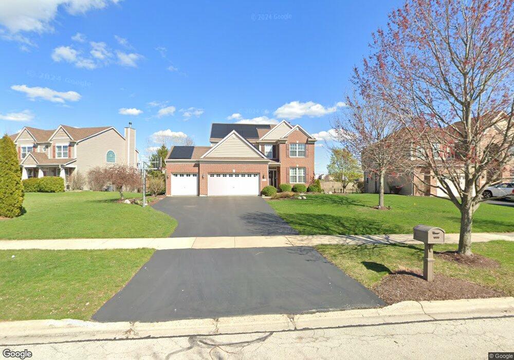
1009 Bennett Ct North Aurora, IL 60542
Nelson Lake NeighborhoodEstimated Value: $509,162 - $539,000
3
Beds
4
Baths
2,356
Sq Ft
$222/Sq Ft
Est. Value
About This Home
This home is located at 1009 Bennett Ct, North Aurora, IL 60542 and is currently estimated at $523,541, approximately $222 per square foot. 1009 Bennett Ct is a home located in Kane County with nearby schools including Kaneland Blackberry Creek Elementary School, Harter Middle School, and Kaneland Senior High School.
Ownership History
Date
Name
Owned For
Owner Type
Purchase Details
Closed on
Mar 14, 2007
Sold by
Neumann Homes Inc
Bought by
Runestad Christopher and Runestad Jennifer
Current Estimated Value
Home Financials for this Owner
Home Financials are based on the most recent Mortgage that was taken out on this home.
Original Mortgage
$290,983
Outstanding Balance
$176,224
Interest Rate
6.27%
Mortgage Type
Purchase Money Mortgage
Estimated Equity
$347,317
Create a Home Valuation Report for This Property
The Home Valuation Report is an in-depth analysis detailing your home's value as well as a comparison with similar homes in the area
Home Values in the Area
Average Home Value in this Area
Purchase History
| Date | Buyer | Sale Price | Title Company |
|---|---|---|---|
| Runestad Christopher | $364,000 | Chicago Title Insurance Co |
Source: Public Records
Mortgage History
| Date | Status | Borrower | Loan Amount |
|---|---|---|---|
| Open | Runestad Christopher | $290,983 |
Source: Public Records
Tax History Compared to Growth
Tax History
| Year | Tax Paid | Tax Assessment Tax Assessment Total Assessment is a certain percentage of the fair market value that is determined by local assessors to be the total taxable value of land and additions on the property. | Land | Improvement |
|---|---|---|---|---|
| 2024 | $11,689 | $139,022 | $14,860 | $124,162 |
| 2023 | $11,283 | $125,472 | $13,412 | $112,060 |
| 2022 | $10,534 | $111,406 | $12,309 | $99,097 |
| 2021 | $10,237 | $106,629 | $11,781 | $94,848 |
| 2020 | $10,052 | $104,130 | $11,505 | $92,625 |
| 2019 | $10,227 | $103,335 | $11,336 | $91,999 |
| 2018 | $10,132 | $99,897 | $11,336 | $88,561 |
| 2017 | $10,177 | $98,761 | $11,207 | $87,554 |
| 2016 | $10,092 | $100,380 | $10,911 | $89,469 |
| 2015 | -- | $98,248 | $10,485 | $87,763 |
| 2014 | -- | $97,097 | $11,666 | $85,431 |
| 2013 | -- | $97,097 | $11,666 | $85,431 |
Source: Public Records
Map
Nearby Homes
- 2045 Bartram Rd
- 921 N Deerpath Rd
- 2S720 Nelson Lake Rd
- 916 Fair Meadow St
- 876 Fair Meadow Ct
- 868 Fair Meadow Ct
- Maxfield Plan at Autumn Ridge
- Morgan Plan at Autumn Ridge
- Newbury Plan at Autumn Ridge
- Quinn Plan at Autumn Ridge
- Paxton Plan at Autumn Ridge
- Leyden Plan at Autumn Ridge
- 1799 Breton Ave
- 917 Fair Meadow St
- 909 Fair Meadow St
- 512 Bennett Dr
- 483 Glover Dr
- 1679 Patterson Ave
- 875 Fair Meadow Ct
- 867 Fair Meadow Ct
- 1001 Bennett Ct
- 1017 Bennett Ct
- 1025 Bennett Dr
- 985 Bennett Dr
- 1025 Bennett Ct Unit 6
- 977 Bennett Dr
- 1008 Bennett Ct
- 1000 Bennett Dr
- 1033 Bennett Dr
- 1016 Bennett Ct
- 1000 Bennett Ct
- 1033 Bennett Ct
- 1024 Bennett Ct
- 1032 Bennett Ct
- 969 Bennett Dr
- 968 Bennett Dr
- 961 Bennett Dr
- 960 Bennett Dr
- 952 Bennett Dr
- 953 Bennett Dr