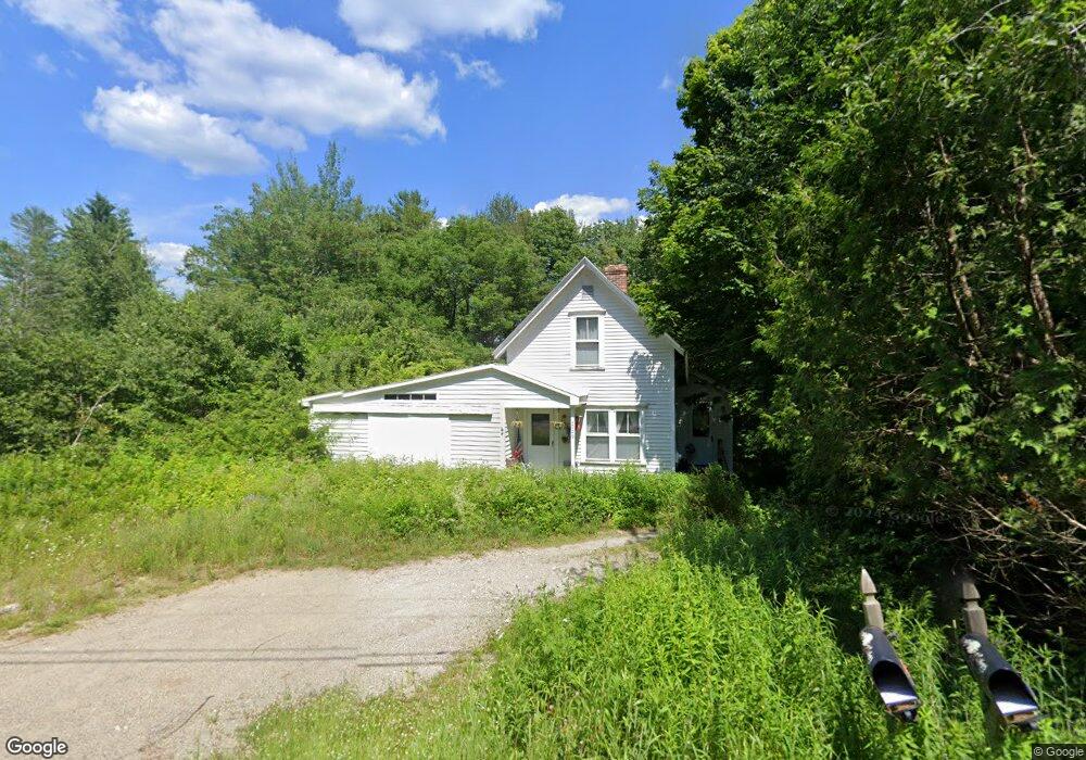
1009 Cape Jellison Rd Stockton Springs, ME 04981
Estimated Value: $194,000 - $355,000
2
Beds
1
Bath
936
Sq Ft
$283/Sq Ft
Est. Value
About This Home
This home is located at 1009 Cape Jellison Rd, Stockton Springs, ME 04981 and is currently estimated at $264,862, approximately $282 per square foot. 1009 Cape Jellison Rd is a home.
Ownership History
Date
Name
Owned For
Owner Type
Purchase Details
Closed on
Aug 30, 2011
Sold by
Szumilas Gregory and Szumilas Kimalee
Bought by
Williams Marcia A
Current Estimated Value
Home Financials for this Owner
Home Financials are based on the most recent Mortgage that was taken out on this home.
Original Mortgage
$80,800
Outstanding Balance
$56,040
Interest Rate
4.53%
Mortgage Type
Commercial
Estimated Equity
$208,822
Create a Home Valuation Report for This Property
The Home Valuation Report is an in-depth analysis detailing your home's value as well as a comparison with similar homes in the area
Home Values in the Area
Average Home Value in this Area
Purchase History
| Date | Buyer | Sale Price | Title Company |
|---|---|---|---|
| Williams Marcia A | -- | -- |
Source: Public Records
Mortgage History
| Date | Status | Borrower | Loan Amount |
|---|---|---|---|
| Open | Williams Marcia A | $80,800 |
Source: Public Records
Tax History Compared to Growth
Tax History
| Year | Tax Paid | Tax Assessment Tax Assessment Total Assessment is a certain percentage of the fair market value that is determined by local assessors to be the total taxable value of land and additions on the property. | Land | Improvement |
|---|---|---|---|---|
| 2024 | $2,384 | $143,640 | $43,890 | $99,750 |
| 2023 | $2,153 | $96,980 | $43,890 | $53,090 |
| 2022 | $1,978 | $96,980 | $43,890 | $53,090 |
| 2021 | $1,969 | $96,980 | $43,890 | $53,090 |
| 2020 | $1,998 | $96,980 | $43,890 | $53,090 |
| 2019 | $1,969 | $96,980 | $43,890 | $53,090 |
| 2018 | $1,959 | $96,980 | $43,890 | $53,090 |
| 2017 | $1,988 | $96,980 | $43,890 | $53,090 |
| 2016 | $1,901 | $96,980 | $43,890 | $53,090 |
| 2015 | $1,838 | $96,980 | $43,890 | $53,090 |
| 2014 | $1,751 | $90,960 | $47,080 | $43,880 |
| 2013 | $1,630 | $90,560 | $47,080 | $43,480 |
Source: Public Records
Map
Nearby Homes
- 26 Heights Rd
- 40 Loon Landing
- Lot #7 Cape Jellison Rd
- 8 Clipper Ln
- 770 Cape Jellison Rd
- 62 Harborview Dr
- 45 Harborview Dr
- 7 Winchester Way
- 49 Fort Point Cove Rd
- 96 Pirates Cove Rd
- Lot 157 Denslow Rd
- 25 School St
- 271 U S Route 1
- 270 Main St
- 10 Church St
- 112 Rocky Point Rd
- 38 Osprey Reach Rd
- 100 Rocky Point Rd
- 95 Osprey Reach Rd
- 38 Church St
- 1005 Cape Jellison Rd
- 1008 Cape Jellison Rd
- 1019 Cape Jellison Rd
- 999 Cape Jellison Rd
- 1002 Cape Jellison Rd
- 1036 Cape Jellison Rd
- 1035 Cape Jellison Rd
- 1041 Cape Jellison Rd
- 1044 Cape Jellison Rd
- 1046 Cape Jellison
- 23 Heights Road Lot #6
- 11 Heights Rd
- 1054 Cape Jellison Rd
- 964 Cape Jellison Rd
- 1057 Cape Jellison Rd
- 1 Loon Landing
- 1061 Cape Jellison Rd
- 35 Heights Rd
- 10 Heights Rd
- 1072 Cape Jellison Rd