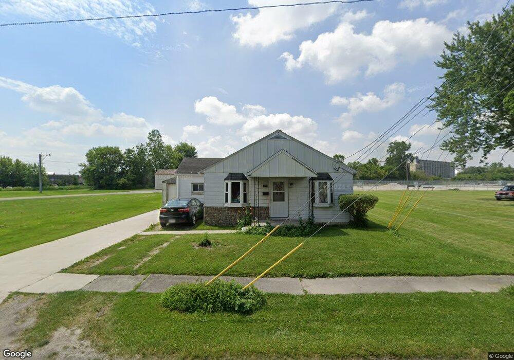
1009 Francis Ave Fostoria, OH 44830
Estimated Value: $69,000 - $151,000
2
Beds
1
Bath
793
Sq Ft
$126/Sq Ft
Est. Value
About This Home
This home is located at 1009 Francis Ave, Fostoria, OH 44830 and is currently estimated at $99,605, approximately $125 per square foot. 1009 Francis Ave is a home located in Hancock County with nearby schools including Fostoria Intermediate Elementary School and Fostoria Junior/Senior High School.
Ownership History
Date
Name
Owned For
Owner Type
Purchase Details
Closed on
Jan 6, 2014
Sold by
Porter David L and Steve Welton J
Bought by
Newnam Jack
Current Estimated Value
Purchase Details
Closed on
Oct 1, 1997
Sold by
Society National Bank
Bought by
Porter David
Home Financials for this Owner
Home Financials are based on the most recent Mortgage that was taken out on this home.
Original Mortgage
$30,000
Interest Rate
7.54%
Mortgage Type
New Conventional
Purchase Details
Closed on
Jun 11, 1997
Sold by
Shrf Sophy Huynh Pr
Bought by
Society National Bank
Purchase Details
Closed on
Nov 26, 1984
Bought by
Huynh Binh Quang and Huynh Sophy
Create a Home Valuation Report for This Property
The Home Valuation Report is an in-depth analysis detailing your home's value as well as a comparison with similar homes in the area
Home Values in the Area
Average Home Value in this Area
Purchase History
| Date | Buyer | Sale Price | Title Company |
|---|---|---|---|
| Newnam Jack | $10,900 | None Available | |
| Porter David | $19,500 | -- | |
| Society National Bank | $10,000 | -- | |
| Huynh Binh Quang | $20,000 | -- |
Source: Public Records
Mortgage History
| Date | Status | Borrower | Loan Amount |
|---|---|---|---|
| Previous Owner | Porter David | $30,000 |
Source: Public Records
Tax History Compared to Growth
Tax History
| Year | Tax Paid | Tax Assessment Tax Assessment Total Assessment is a certain percentage of the fair market value that is determined by local assessors to be the total taxable value of land and additions on the property. | Land | Improvement |
|---|---|---|---|---|
| 2024 | $861 | $16,910 | $4,410 | $12,500 |
| 2023 | $859 | $16,910 | $4,410 | $12,500 |
| 2022 | $935 | $16,910 | $4,410 | $12,500 |
| 2021 | $784 | $13,630 | $4,630 | $9,000 |
| 2020 | $787 | $13,630 | $4,630 | $9,000 |
| 2019 | $783 | $13,630 | $4,630 | $9,000 |
| 2018 | $703 | $11,930 | $4,030 | $7,900 |
| 2017 | $351 | $11,930 | $4,030 | $7,900 |
| 2016 | $620 | $11,930 | $4,030 | $7,900 |
| 2015 | $607 | $11,710 | $4,030 | $7,680 |
| 2014 | $699 | $11,710 | $4,030 | $7,680 |
| 2012 | $1,772 | $13,400 | $4,030 | $9,370 |
Source: Public Records
Map
Nearby Homes
- 461 W Lytle St
- 461 W Lytle St Unit 145
- 461 W Lytle St Unit 106
- 411 Monticello Dr
- 351 W South St
- 509 College Ave
- 348 W South St
- 418 W Ridge Dr
- 425 W Ridge Dr
- 1401 Van Buren St
- 203 N Union St
- 603 N Vine St
- 0 W South Route 12
- 520 N Union St
- 723 N Union St
- 901 Central Ave
- 211 Summit St
- 321 Mcdougal St
- 435 Park Ave
- 892 N Countyline St
- 1017 Francis Ave
- 1021 Francis Ave
- 338 Watson Ave
- 320 Elwood Ave
- 319 Elwood Ave
- 1105 Francis Ave
- 316 Elwood Ave
- 334 Watson Ave
- 343 Watson Ave
- 341 Watson Ave
- 312 Elwood Ave
- 317 Elwood Ave
- 327 Watson Ave
- 310 Elwood Ave
- 425 Independence Ave
- 224 Jeanette Dr
- 315 Elwood Ave
- 308 Elwood Ave
- 310 Watson Ave
- 222 Jeanette Dr