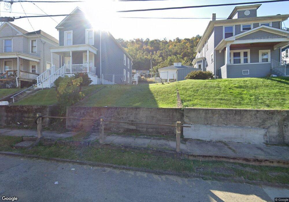
1009 Howard St Bridgeport, OH 43912
Estimated Value: $38,000 - $228,000
2
Beds
1
Bath
1,554
Sq Ft
$77/Sq Ft
Est. Value
About This Home
This home is located at 1009 Howard St, Bridgeport, OH 43912 and is currently estimated at $119,333, approximately $76 per square foot. 1009 Howard St is a home located in Belmont County with nearby schools including Bridgeport Elementary School, Bridgeport Middle School, and Bridgeport High School.
Ownership History
Date
Name
Owned For
Owner Type
Purchase Details
Closed on
Oct 18, 2018
Sold by
Belmont County Land Reutilization Corpor
Bought by
Orum Austin M
Current Estimated Value
Purchase Details
Closed on
Apr 12, 2008
Sold by
Imagine Development Group Ltd
Bought by
Concerto Investments Llc
Purchase Details
Closed on
Jul 14, 2006
Sold by
Nationstar Mortgage Llc
Bought by
Imagine Development Group Ltd
Purchase Details
Closed on
Sep 23, 2002
Sold by
Gomez Manuel and Gomez Sharon
Bought by
Gomez Manuel and Gomez Sharon
Purchase Details
Closed on
Feb 27, 1996
Bought by
Shamrock Investment Corpo
Purchase Details
Closed on
Jan 1, 1986
Sold by
Omalley Elizabeth
Bought by
Omalley Elizabeth
Create a Home Valuation Report for This Property
The Home Valuation Report is an in-depth analysis detailing your home's value as well as a comparison with similar homes in the area
Home Values in the Area
Average Home Value in this Area
Purchase History
| Date | Buyer | Sale Price | Title Company |
|---|---|---|---|
| Orum Austin M | -- | None Available | |
| Concerto Investments Llc | $4,850 | None Available | |
| Imagine Development Group Ltd | $3,000 | Sovereign Title Agency Llc | |
| Gomez Manuel | $32,000 | -- | |
| Shamrock Investment Corpo | $16,500 | -- | |
| Omalley Elizabeth | -- | -- |
Source: Public Records
Tax History Compared to Growth
Tax History
| Year | Tax Paid | Tax Assessment Tax Assessment Total Assessment is a certain percentage of the fair market value that is determined by local assessors to be the total taxable value of land and additions on the property. | Land | Improvement |
|---|---|---|---|---|
| 2024 | $55 | $1,330 | $1,330 | -- |
| 2023 | $62 | $1,340 | $1,340 | $0 |
| 2022 | $59 | $1,337 | $1,337 | $0 |
| 2021 | $59 | $1,337 | $1,337 | $0 |
| 2020 | $48 | $1,110 | $1,110 | $0 |
| 2019 | $50 | $1,110 | $1,110 | $0 |
| 2018 | $0 | $1,110 | $1,110 | $0 |
| 2017 | $0 | $1,310 | $1,310 | $0 |
| 2016 | $0 | $1,310 | $1,310 | $0 |
| 2015 | -- | $5,870 | $1,310 | $4,560 |
| 2014 | $655 | $8,340 | $1,190 | $7,150 |
| 2013 | $490 | $8,340 | $1,190 | $7,150 |
Source: Public Records
Map
Nearby Homes
- 1049 Buckeye St
- 866 Main St
- 67478 Kirkwood Heights Rd
- 8 Spring St
- 20 Locust Ave
- 902 National Rd
- 16 Patterson Rd
- 56624 Boyd Ave
- 67605 Kirkwood Heights Rd
- 67620 Kirkwood Heights Rd
- 67730 Kirkwood Heights Rd
- 56316 National Rd
- 56559 Boyd Ave
- 61 Laipple St
- 0 Ohio 7
- 116 Ohio St
- 219 S York St
- 217 N Huron St
- 50 Kentucky St
- 301 N Huron St
- 1007 Howard St
- 1011 Howard St
- 1002 Minellen Dr
- 1008 Minellen Dr
- 1005 Howard St
- 1003 Howard St
- 1010 Minellen Dr
- 1001 Howard St
- 1015 Howard St
- 1018 Howard St
- 1014 Howard St
- 1023 Howard St
- 1020 Howard St
- 934 W Bennett St
- 929 Howard St
- 1001 Minellen Dr
- 1022 Howard St
- 1027 Howard St
- 1027 Howard St
- 928 W Bennett St