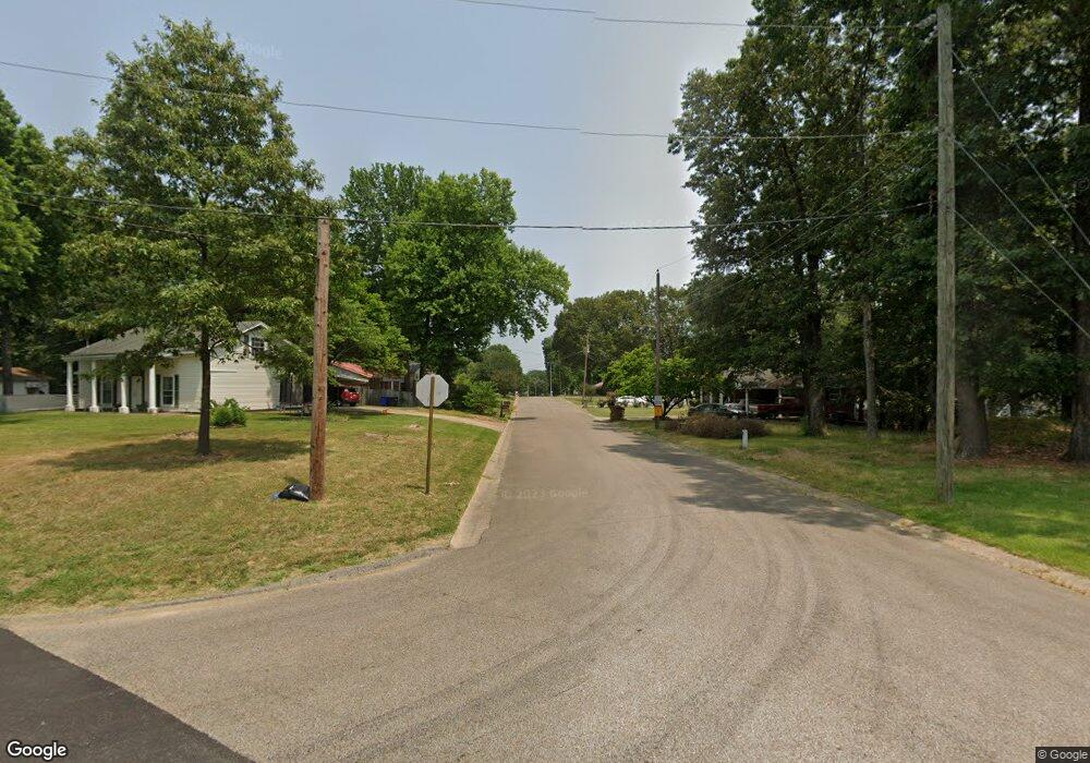
1009 Owens Ave Jonesboro, AR 72401
Estimated Value: $75,218 - $98,000
--
Bed
1
Bath
684
Sq Ft
$123/Sq Ft
Est. Value
About This Home
This home is located at 1009 Owens Ave, Jonesboro, AR 72401 and is currently estimated at $84,055, approximately $122 per square foot. 1009 Owens Ave is a home located in Craighead County with nearby schools including Annie Camp Junior High School, The Academies at Jonesboro High School, and Concordia Christian Academy.
Ownership History
Date
Name
Owned For
Owner Type
Purchase Details
Closed on
Sep 26, 2019
Sold by
John Mangraum and Mangraum Mike
Bought by
Mike Mangraum
Current Estimated Value
Purchase Details
Closed on
Nov 10, 2017
Sold by
Mangrum John L
Bought by
Mangrum John L and Mangrum Michael E
Purchase Details
Closed on
May 7, 2007
Sold by
Mangrum Lena M
Bought by
City Of Jonesboro
Purchase Details
Closed on
Nov 27, 2000
Bought by
Mangrum
Purchase Details
Closed on
Jun 30, 1986
Bought by
Mangrum
Purchase Details
Closed on
Sep 23, 1985
Bought by
Sylar
Create a Home Valuation Report for This Property
The Home Valuation Report is an in-depth analysis detailing your home's value as well as a comparison with similar homes in the area
Home Values in the Area
Average Home Value in this Area
Purchase History
| Date | Buyer | Sale Price | Title Company |
|---|---|---|---|
| Mike Mangraum | $13,000 | None Available | |
| Mangrum John L | -- | -- | |
| City Of Jonesboro | -- | Lenders Title Co | |
| Mangrum | $25,000 | -- | |
| Mangrum | $28,000 | -- | |
| Sylar | $24,000 | -- |
Source: Public Records
Tax History Compared to Growth
Tax History
| Year | Tax Paid | Tax Assessment Tax Assessment Total Assessment is a certain percentage of the fair market value that is determined by local assessors to be the total taxable value of land and additions on the property. | Land | Improvement |
|---|---|---|---|---|
| 2025 | $427 | $10,277 | $2,500 | $7,777 |
| 2024 | $427 | $10,277 | $2,500 | $7,777 |
| 2023 | $394 | $10,277 | $2,500 | $7,777 |
| 2022 | $352 | $10,277 | $2,500 | $7,777 |
| 2021 | $328 | $7,770 | $2,500 | $5,270 |
| 2020 | $328 | $7,770 | $2,500 | $5,270 |
| 2019 | $328 | $7,770 | $2,500 | $5,270 |
| 2018 | $328 | $7,770 | $2,500 | $5,270 |
| 2017 | $303 | $7,770 | $2,500 | $5,270 |
| 2016 | $276 | $6,530 | $2,200 | $4,330 |
| 2015 | $276 | $6,530 | $2,200 | $4,330 |
| 2014 | $276 | $6,530 | $2,200 | $4,330 |
Source: Public Records
Map
Nearby Homes
- 724 Locust Dr
- 2305 Anne St
- 718 Owens Ave
- 1202 Wood Cove
- 2311 Wood St
- 2005 Wood St
- 2318 Redbud Dr
- 795 S Hill Dr
- 1823 James St
- 700 Amberwood Cove
- 1821 James St
- 800 Southwest Dr
- 806 Amberwood Cove
- 1808 Roy St
- 805 Southwest Dr
- 900 Melton Dr
- 2000 Broadmoor Rd
- 1919 Sherwood Dr
- 305 W Concord St
- 0 Woodland Point Unit 10119892