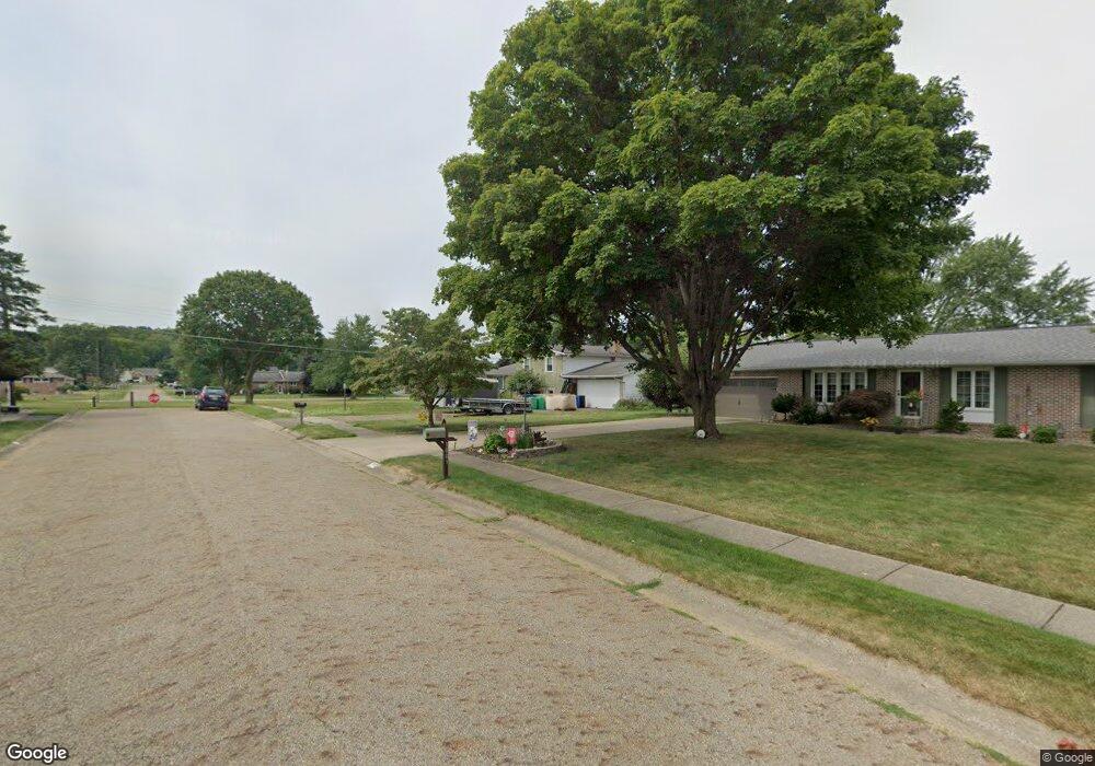
1009 Richards Dr Louisville, OH 44641
Estimated Value: $188,957 - $237,000
4
Beds
2
Baths
1,098
Sq Ft
$197/Sq Ft
Est. Value
About This Home
This home is located at 1009 Richards Dr, Louisville, OH 44641 and is currently estimated at $216,489, approximately $197 per square foot. 1009 Richards Dr is a home located in Stark County with nearby schools including Louisville High School and St. Thomas Aquinas High School & Middle School.
Ownership History
Date
Name
Owned For
Owner Type
Purchase Details
Closed on
Mar 23, 2005
Sold by
Lautzenheiser Bruce A and Lautzenheiser Susan G
Bought by
Dugan Jeffrey M
Current Estimated Value
Home Financials for this Owner
Home Financials are based on the most recent Mortgage that was taken out on this home.
Original Mortgage
$126,000
Outstanding Balance
$63,879
Interest Rate
5.61%
Mortgage Type
Purchase Money Mortgage
Estimated Equity
$152,610
Purchase Details
Closed on
Nov 6, 1989
Create a Home Valuation Report for This Property
The Home Valuation Report is an in-depth analysis detailing your home's value as well as a comparison with similar homes in the area
Home Values in the Area
Average Home Value in this Area
Purchase History
| Date | Buyer | Sale Price | Title Company |
|---|---|---|---|
| Dugan Jeffrey M | $140,000 | -- | |
| -- | $71,000 | -- |
Source: Public Records
Mortgage History
| Date | Status | Borrower | Loan Amount |
|---|---|---|---|
| Open | Dugan Jeffrey M | $126,000 |
Source: Public Records
Tax History Compared to Growth
Tax History
| Year | Tax Paid | Tax Assessment Tax Assessment Total Assessment is a certain percentage of the fair market value that is determined by local assessors to be the total taxable value of land and additions on the property. | Land | Improvement |
|---|---|---|---|---|
| 2025 | -- | $43,900 | $14,670 | $29,230 |
| 2024 | -- | $43,900 | $14,670 | $29,230 |
| 2023 | $1,989 | $46,280 | $13,830 | $32,450 |
| 2022 | $1,995 | $46,280 | $13,830 | $32,450 |
| 2021 | $2,000 | $46,280 | $13,830 | $32,450 |
| 2020 | $1,718 | $43,160 | $12,460 | $30,700 |
| 2019 | $1,725 | $47,080 | $12,460 | $34,620 |
| 2018 | $1,874 | $47,080 | $12,460 | $34,620 |
| 2017 | $1,701 | $41,240 | $10,960 | $30,280 |
| 2016 | $1,736 | $41,240 | $10,960 | $30,280 |
| 2015 | $1,741 | $41,240 | $10,960 | $30,280 |
| 2014 | $1,617 | $35,600 | $9,450 | $26,150 |
| 2013 | $812 | $35,600 | $9,450 | $26,150 |
Source: Public Records
Map
Nearby Homes
- 641 S Nickelplate St
- 520 S Silver St
- 1715 High St
- 308 Superior St
- 728 E Broad St
- 1812 E Broad St
- 908 Sand Lot Cir
- 510 S Bauman Ct
- 204 E Broad St
- 2110 Edmar St
- 107 E Broad St
- 0 Michigan Blvd
- 325 Lincoln Ave
- 2015 E Main St
- 1702 View Pointe Ave
- 1639 Horizon Dr
- 3390 Meese Rd NE
- 1170 Winding Ridge Ave
- 910 Crosswyck Cir
- 8225 Georgetown St
- 1001 Richards Dr
- 1307 Opal St
- 1008 Richards Dr
- 945 Richards Dr
- 1225 Opal St
- 1217 Opal St
- 939 Richards Dr
- 1008 S Nickelplate St
- 1418 Edith St
- 1409 Opal St
- 932 Richards Dr
- 1016 S Nickelplate St
- 1312 Opal St
- 929 Richards Dr
- 1304 Opal St
- 1207 Opal St
- 1330 Opal St
- 1419 Opal St
- 1430 Edith St
- 1423 Edith St