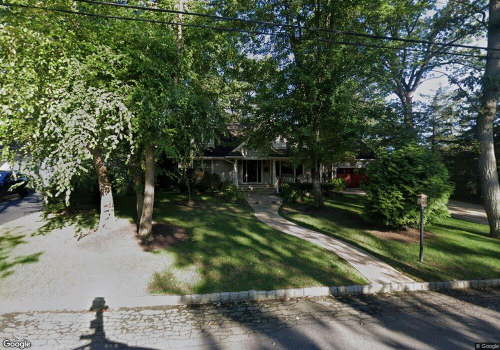
1009 Shore Dr Brielle, NJ 08730
Estimated Value: $1,445,023 - $1,593,000
3
Beds
2
Baths
2,427
Sq Ft
$628/Sq Ft
Est. Value
About This Home
This home is located at 1009 Shore Dr, Brielle, NJ 08730 and is currently estimated at $1,523,256, approximately $627 per square foot. 1009 Shore Dr is a home located in Monmouth County with nearby schools including Brielle Elementary School and St Dominic School.
Ownership History
Date
Name
Owned For
Owner Type
Purchase Details
Closed on
Dec 5, 2017
Sold by
Pelly Frank M and Pelly Ruth Ann
Bought by
Trt Pelly and Pelly Frank M
Current Estimated Value
Purchase Details
Closed on
May 6, 2016
Sold by
Pelly Frank M and Pelly Ruth Ann
Bought by
Pelly Frank M and Pelly Ruth Ann
Purchase Details
Closed on
Jan 7, 2011
Sold by
Bison Properties Llc and Blanton Janice Elizabeth
Bought by
Pelly Frank S and Pelly Ruth Ann
Purchase Details
Closed on
Mar 28, 2005
Sold by
Estate Of Assunta A Pritchard
Bought by
Bison Properties Llc
Create a Home Valuation Report for This Property
The Home Valuation Report is an in-depth analysis detailing your home's value as well as a comparison with similar homes in the area
Home Values in the Area
Average Home Value in this Area
Purchase History
| Date | Buyer | Sale Price | Title Company |
|---|---|---|---|
| Trt Pelly | -- | -- | |
| Pelly Frank M | -- | None Available | |
| Pelly Frank S | $899,000 | None Available | |
| Pelly Frank S | $899,000 | Fidelity Natl Title Ins Co | |
| Bison Properties Llc | $637,000 | -- |
Source: Public Records
Tax History Compared to Growth
Tax History
| Year | Tax Paid | Tax Assessment Tax Assessment Total Assessment is a certain percentage of the fair market value that is determined by local assessors to be the total taxable value of land and additions on the property. | Land | Improvement |
|---|---|---|---|---|
| 2025 | $14,532 | $1,292,700 | $840,000 | $452,700 |
| 2024 | $13,373 | $1,171,000 | $730,000 | $441,000 |
| 2023 | $13,373 | $1,040,700 | $610,000 | $430,700 |
| 2022 | $12,338 | $920,100 | $510,000 | $410,100 |
| 2021 | $12,338 | $804,800 | $410,000 | $394,800 |
| 2020 | $11,801 | $720,900 | $335,000 | $385,900 |
| 2019 | $12,296 | $762,300 | $335,000 | $427,300 |
| 2018 | $12,539 | $767,400 | $360,000 | $407,400 |
| 2017 | $12,488 | $755,000 | $360,000 | $395,000 |
| 2016 | $12,300 | $745,000 | $360,000 | $385,000 |
| 2015 | $12,100 | $727,600 | $360,000 | $367,600 |
| 2014 | $13,202 | $847,400 | $654,000 | $193,400 |
Source: Public Records
Map
Nearby Homes
- 1015 Forrest Rd
- 1004 Cedar Ln
- 1105 Shore Dr
- 931 Birch Dr
- 924 Birch Dr
- 21 N Tamarack Dr
- 917 Riverview Dr
- 1582 Horseshoe Dr
- 2639 River Rd
- 664 Valley Rd
- 907 Riverview Dr
- 651 Oceanview Rd
- 208 Giese Ln
- 3000 River Rd Unit 3000 & 3000A
- 223 Pinetree Place
- 103 River Ave
- 221 Ida Dr
- 335 Eastham Rd
- 147 Riviera Dr
- 305 Barbara Dr
