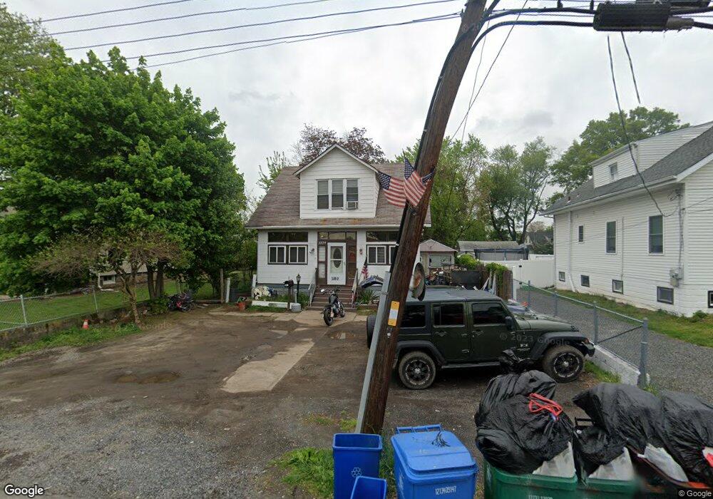
1009 State Rd Croydon, PA 19021
Estimated Value: $305,000 - $338,000
3
Beds
1
Bath
1,215
Sq Ft
$262/Sq Ft
Est. Value
About This Home
This home is located at 1009 State Rd, Croydon, PA 19021 and is currently estimated at $318,180, approximately $261 per square foot. 1009 State Rd is a home located in Bucks County with nearby schools including Truman Senior High School, School Lane Charter School, and St. Mark Elementary School.
Ownership History
Date
Name
Owned For
Owner Type
Purchase Details
Closed on
Apr 16, 2004
Sold by
Brown Joseph C and Foster Nancy
Bought by
Haugstad Susan
Current Estimated Value
Home Financials for this Owner
Home Financials are based on the most recent Mortgage that was taken out on this home.
Original Mortgage
$137,750
Outstanding Balance
$63,963
Interest Rate
5.47%
Mortgage Type
Purchase Money Mortgage
Estimated Equity
$254,217
Purchase Details
Closed on
Aug 31, 1953
Bought by
Brown Jos C and Brown Marie
Create a Home Valuation Report for This Property
The Home Valuation Report is an in-depth analysis detailing your home's value as well as a comparison with similar homes in the area
Home Values in the Area
Average Home Value in this Area
Purchase History
| Date | Buyer | Sale Price | Title Company |
|---|---|---|---|
| Haugstad Susan | $145,000 | -- | |
| Brown Jos C | -- | -- |
Source: Public Records
Mortgage History
| Date | Status | Borrower | Loan Amount |
|---|---|---|---|
| Open | Haugstad Susan | $137,750 |
Source: Public Records
Tax History
| Year | Tax Paid | Tax Assessment Tax Assessment Total Assessment is a certain percentage of the fair market value that is determined by local assessors to be the total taxable value of land and additions on the property. | Land | Improvement |
|---|---|---|---|---|
| 2025 | $3,693 | $13,600 | $1,840 | $11,760 |
| 2024 | $3,693 | $13,600 | $1,840 | $11,760 |
| 2023 | $3,666 | $13,600 | $1,840 | $11,760 |
| 2022 | $3,666 | $13,600 | $1,840 | $11,760 |
| 2021 | $3,666 | $13,600 | $1,840 | $11,760 |
| 2020 | $3,666 | $13,600 | $1,840 | $11,760 |
| 2019 | $3,653 | $13,600 | $1,840 | $11,760 |
| 2018 | $3,594 | $13,600 | $1,840 | $11,760 |
| 2017 | $3,539 | $13,600 | $1,840 | $11,760 |
| 2016 | $3,539 | $13,600 | $1,840 | $11,760 |
| 2015 | $2,471 | $13,600 | $1,840 | $11,760 |
| 2014 | $2,471 | $13,600 | $1,840 | $11,760 |
Source: Public Records
Map
Nearby Homes
- 811 Washington Ave
- 805 State Rd
- 730 Excelsior Ave
- 618 Cedar Ave
- 619 First Ave
- 909 Third Ave
- 530 Main Ave
- 910 Magnolia Ave
- 535 Princess Ave
- 601 Fourth Ave
- 813 Fifth Ave
- 200 Janet Ave
- 2307 State Rd
- 1706 Spencer Dr
- 208 Neshaminy Rd
- 311 Neshaminy Rd
- 0 Neshaminy St Unit PABU2089046
- 1051 Maple Ave
- 0 Allen Ave
- 3933 Wrexham Ct
- 1013 State Rd
- 1003 State Rd
- 1017 State Rd
- 725 Patterson Ave
- 726 Washington Ave
- 726 Patterson Ave
- 718 Washington Ave
- 725 Washington Ave
- 916 State Rd
- 1105 State Rd
- 717 Patterson Ave
- 1100 State Rd
- 810 Washington Ave
- 723 Washington Ave
- 712 Washington Ave
- 914 State Rd
- 716 Patterson Ave
- 1106 State Rd
- 711 Patterson Ave
- 722 Patterson Ave
Your Personal Tour Guide
Ask me questions while you tour the home.