1009 Stokes Store Rd Forsyth, GA 31029
Estimated Value: $135,000 - $303,000
--
Bed
2
Baths
1,354
Sq Ft
$152/Sq Ft
Est. Value
About This Home
This home is located at 1009 Stokes Store Rd, Forsyth, GA 31029 and is currently estimated at $206,014, approximately $152 per square foot. 1009 Stokes Store Rd is a home located in Monroe County with nearby schools including Katherine B. Sutton Elementary School and Mary Persons High School.
Ownership History
Date
Name
Owned For
Owner Type
Purchase Details
Closed on
Jul 8, 1988
Sold by
Gordon James and Gordon Gwendolyn
Bought by
Sands Jerry
Current Estimated Value
Purchase Details
Closed on
Jun 2, 1987
Sold by
The Farmers Bank
Bought by
Sullivan Malcolm
Purchase Details
Closed on
Jun 1, 1987
Sold by
Sullivan Malcolm K
Bought by
Gordon James and Gordon Gwnedolyn
Create a Home Valuation Report for This Property
The Home Valuation Report is an in-depth analysis detailing your home's value as well as a comparison with similar homes in the area
Home Values in the Area
Average Home Value in this Area
Purchase History
| Date | Buyer | Sale Price | Title Company |
|---|---|---|---|
| Sands Jerry | $6,200 | -- | |
| Sullivan Malcolm | -- | -- | |
| Gordon James | $6,400 | -- |
Source: Public Records
Tax History Compared to Growth
Tax History
| Year | Tax Paid | Tax Assessment Tax Assessment Total Assessment is a certain percentage of the fair market value that is determined by local assessors to be the total taxable value of land and additions on the property. | Land | Improvement |
|---|---|---|---|---|
| 2024 | $300 | $42,640 | $14,280 | $28,360 |
| 2023 | $828 | $37,960 | $14,280 | $23,680 |
| 2022 | $703 | $37,960 | $14,280 | $23,680 |
| 2021 | $728 | $37,960 | $14,280 | $23,680 |
| 2020 | $663 | $35,080 | $11,400 | $23,680 |
| 2019 | $668 | $35,080 | $11,400 | $23,680 |
| 2018 | $670 | $35,080 | $11,400 | $23,680 |
| 2017 | $1,020 | $35,080 | $11,400 | $23,680 |
| 2016 | $638 | $35,080 | $11,400 | $23,680 |
| 2015 | $681 | $37,960 | $14,280 | $23,680 |
| 2014 | $657 | $37,960 | $14,280 | $23,680 |
Source: Public Records
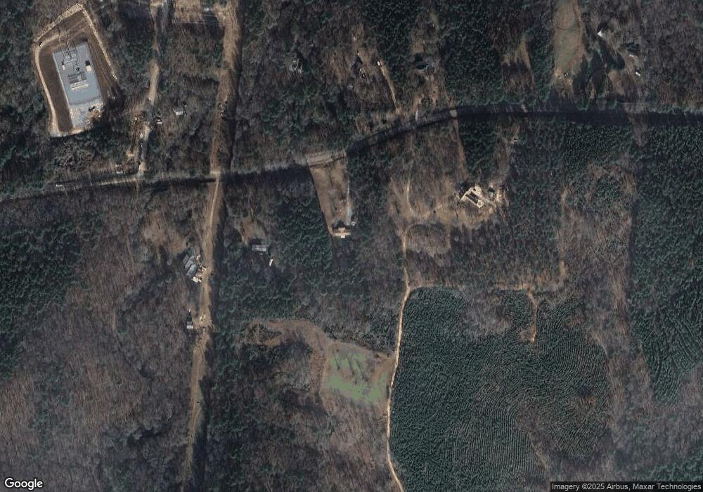
Map
Nearby Homes
- 56 Ivey Cir
- 674 Stokes Store Rd
- 1649 Stokes Store Rd
- 1649 Stokes Store Rd Unit 52
- 1659 Stokes Store Rd
- 1653 Stokes Store Rd Unit 51
- 1645 Stokes Store Rd Unit 53
- Magnolia Plan at Providence Ridge
- Jackson Plan at Providence Ridge
- Cypress Plan at Providence Ridge
- LOT 48 Stokes Store Rd Unit 48
- 1538 Freeman Rd
- LOT 48 Stokes Store Rd
- 49 Stokes Store Rd Unit 49
- 49 Stokes Store Rd
- 353 Weldon Rd
- 120 Torbet Rd
- 196 Craig Rd
- LOT 3 Giles Rd
- 671 Giles Rd
- 1061 Stokes Store Rd
- 961 Stokes Store Rd Unit A1
- 961 Stokes Store Rd
- 1054 Stokes Store Rd
- 1026 Stokes Store Rd
- 1064 Stokes Store Rd
- 27 Freeman Rd
- 1482 Freeman Rd
- 1154 Stokes Store Rd
- 48 Ivey Cir
- 143 Freeman Rd
- 0 Ivey Cir Unit 8363458
- 0 Ivey Cir Unit 8363457
- 0 Ivey Cir Unit 8239089
- 0 Ivey Cir Unit 8239091
- 0 Ivey Cir Unit 8729380
- 0 Ivey Cir Unit 1 8729375
- 169 Freeman Rd
- 784 Stokes Store Rd
- 252 Freeman Rd