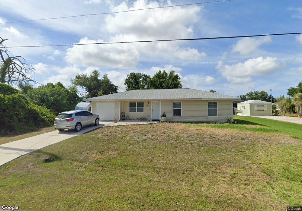
10091 Barker Ave Englewood, FL 34224
Englewood East NeighborhoodEstimated Value: $208,393 - $290,000
3
Beds
2
Baths
1,008
Sq Ft
$242/Sq Ft
Est. Value
About This Home
This home is located at 10091 Barker Ave, Englewood, FL 34224 and is currently estimated at $243,598, approximately $241 per square foot. 10091 Barker Ave is a home located in Charlotte County with nearby schools including Vineland Elementary School, L.A. Ainger Middle School, and Lemon Bay High School.
Ownership History
Date
Name
Owned For
Owner Type
Purchase Details
Closed on
Jun 16, 2008
Sold by
Charlotte Cnty Habitat For Humanity Inc
Bought by
Carlson Diana
Current Estimated Value
Home Financials for this Owner
Home Financials are based on the most recent Mortgage that was taken out on this home.
Original Mortgage
$91,460
Outstanding Balance
$58,599
Interest Rate
6.02%
Mortgage Type
Purchase Money Mortgage
Estimated Equity
$184,999
Purchase Details
Closed on
Nov 21, 2002
Sold by
Messina Frank G and Messina Esther L
Bought by
Charlotte Cty Habitat For Humanity Inc
Create a Home Valuation Report for This Property
The Home Valuation Report is an in-depth analysis detailing your home's value as well as a comparison with similar homes in the area
Home Values in the Area
Average Home Value in this Area
Purchase History
| Date | Buyer | Sale Price | Title Company |
|---|---|---|---|
| Carlson Diana | $142,200 | Attorney | |
| Charlotte Cty Habitat For Humanity Inc | -- | -- |
Source: Public Records
Mortgage History
| Date | Status | Borrower | Loan Amount |
|---|---|---|---|
| Open | Carlson Diana | $91,460 |
Source: Public Records
Tax History Compared to Growth
Tax History
| Year | Tax Paid | Tax Assessment Tax Assessment Total Assessment is a certain percentage of the fair market value that is determined by local assessors to be the total taxable value of land and additions on the property. | Land | Improvement |
|---|---|---|---|---|
| 2023 | $1,490 | $86,274 | $0 | $0 |
| 2022 | $1,417 | $83,761 | $0 | $0 |
| 2021 | $1,381 | $81,321 | $0 | $0 |
| 2020 | $2,386 | $106,777 | $7,905 | $98,872 |
| 2019 | $1,059 | $65,870 | $0 | $0 |
| 2018 | $915 | $64,642 | $0 | $0 |
| 2017 | $910 | $63,312 | $0 | $0 |
| 2016 | $908 | $62,010 | $0 | $0 |
| 2015 | $885 | $61,579 | $0 | $0 |
| 2014 | $880 | $61,090 | $0 | $0 |
Source: Public Records
Map
Nearby Homes
- 7268 Beardsley St
- 7221 and 7229 Spinnaker Blvd
- 7127 Beardsley St
- 7234 Mamouth St
- 10177 Melanie Ave
- 7274 Mamouth St
- 7035 Mamouth St
- 7119 Mamouth St
- 10141 Asbury Ave
- 10107 Amelia Ave
- 10075 Bentley Ave
- 10115 Bentley Ave
- 10127 Peach Ave
- 7145 Mamouth St
- 7290 Bargello St
- 6382 Spinnaker Blvd
- 10168 Willowood Ave
- 7116 Quigley St
- 11030 Oceanspray Blvd
- 11148 Oceanspray Blvd
- 10075 Barker Ave
- 10092 Topsail Ave
- 10084 Topsail Ave
- 10100 Topsail Ave
- 10084 Barker Ave
- 10108 Topsail Ave
- 10108 Barker Ave
- 10115 Barker Ave
- 10068 Topsail Ave
- 10116 Topsail Ave
- 10116 Barker Ave
- 10068 Barker Ave
- 10099 Bay Ave
- 10091 Bay Ave
- 10091 Bay Ave
- 10059 Bay Ave
- 10107 Bay Ave
- 10091 Topsail Ave
- 10099 Topsail Ave
- 10060 Topsail Ave