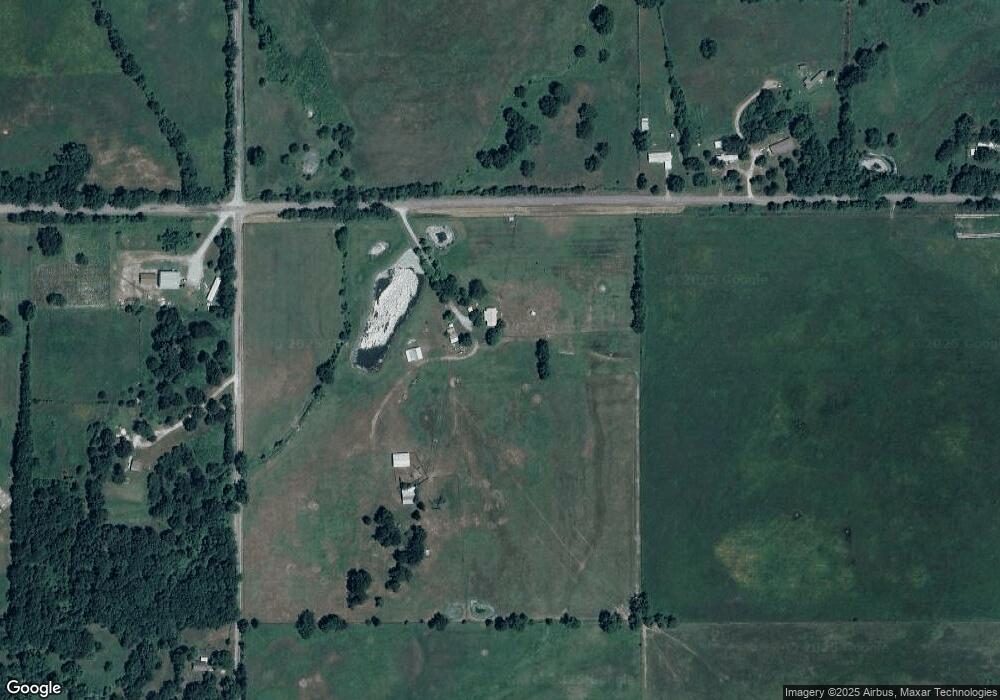
10091 W 640 Rd Locust Grove, OK 74352
Estimated Value: $194,000 - $606,000
3
Beds
1
Bath
1,352
Sq Ft
$267/Sq Ft
Est. Value
About This Home
This home is located at 10091 W 640 Rd, Locust Grove, OK 74352 and is currently estimated at $360,515, approximately $266 per square foot. 10091 W 640 Rd is a home located in Cherokee County with nearby schools including Peggs Public School.
Create a Home Valuation Report for This Property
The Home Valuation Report is an in-depth analysis detailing your home's value as well as a comparison with similar homes in the area
Home Values in the Area
Average Home Value in this Area
Tax History Compared to Growth
Tax History
| Year | Tax Paid | Tax Assessment Tax Assessment Total Assessment is a certain percentage of the fair market value that is determined by local assessors to be the total taxable value of land and additions on the property. | Land | Improvement |
|---|---|---|---|---|
| 2025 | $324 | $6,537 | $1,314 | $5,223 |
| 2024 | $324 | $6,537 | $1,210 | $5,327 |
| 2023 | $324 | $6,537 | $1,451 | $5,086 |
| 2022 | $324 | $6,538 | $1,512 | $5,026 |
| 2021 | $324 | $6,538 | $1,512 | $5,026 |
| 2020 | $324 | $6,537 | $2,992 | $3,545 |
| 2019 | $324 | $6,537 | $2,992 | $3,545 |
| 2018 | $324 | $6,537 | $2,992 | $3,545 |
| 2017 | $324 | $6,537 | $2,992 | $3,545 |
| 2016 | $324 | $6,537 | $2,992 | $3,545 |
| 2015 | $315 | $6,537 | $2,992 | $3,545 |
| 2014 | $315 | $6,537 | $2,992 | $3,545 |
Source: Public Records
Map
Nearby Homes
- 10015 E 632 Rd
- 5580 E 610 Rd
- 4100 N 430 Rd
- 8465 W 660 Rd Hulbert Unit OK 74441
- 8683 N 436 Rd
- 8465 W 660 Rd
- 10223 W 670 Rd
- 7167 E 618 Rd
- 6947 N 460 Rd
- 12665 S 4429
- 12754 S 442 Rd
- 0 E 610 Rd Unit 2542638
- 0 S 4409 Rd
- 0 E 630 Rd Unit 2527536
- 0 Rural Route Unit 25-1842
- 14209 S 439
- 8268 N Shiloh Rd
- 58 Oak
- 8030 N Shiloh Rd
- 14311 E 668 Rd
- 15318 S 443 Rd
- 15104 S 443 Rd
- 15648 S 443 Rd
- 10252 W 640 Rd
- 10328 W 640 Rd
- 10328 W 640 Rd
- 7858 E 640 Rd
- 7990 E 640 Rd
- RR2 Cr 640
- 10466 W 640 Rd
- 10509 W 640 Rd
- 5953 S Highway 82
- 10388 W 650 Rd
- 10684 E Don Maggard Rd
- 5829 S Highway 82
- 10338 W 650 Rd
- 6296 N 440 Rd
- 10226 W 650 Rd
- 15427 S 4427 Rd
- 5771 S Highway 82