10095 Highway 334 Nicholson, GA 30565
Estimated Value: $387,780 - $437,000
3
Beds
2
Baths
1,999
Sq Ft
$201/Sq Ft
Est. Value
About This Home
This home is located at 10095 Highway 334, Nicholson, GA 30565 and is currently estimated at $402,195, approximately $201 per square foot. 10095 Highway 334 is a home located in Jackson County with nearby schools including East Jackson Middle School and East Jackson Comprehensive High School.
Ownership History
Date
Name
Owned For
Owner Type
Purchase Details
Closed on
Jul 21, 2010
Sold by
Hawks David Scott
Bought by
Paulishen Timothy A
Current Estimated Value
Purchase Details
Closed on
Jun 18, 2004
Sold by
Hawks David Scott
Bought by
Hawks David Scott
Purchase Details
Closed on
Aug 4, 2003
Sold by
Mcclure Chip
Bought by
Hawks David Scott
Purchase Details
Closed on
May 14, 1999
Sold by
Thompson Sondra
Bought by
Mcclure Chip
Create a Home Valuation Report for This Property
The Home Valuation Report is an in-depth analysis detailing your home's value as well as a comparison with similar homes in the area
Home Values in the Area
Average Home Value in this Area
Purchase History
| Date | Buyer | Sale Price | Title Company |
|---|---|---|---|
| Paulishen Timothy A | $149,900 | -- | |
| Hawks David Scott | -- | -- | |
| Hawks David Scott | $56,000 | -- | |
| Mcclure Chip | $67,500 | -- |
Source: Public Records
Tax History Compared to Growth
Tax History
| Year | Tax Paid | Tax Assessment Tax Assessment Total Assessment is a certain percentage of the fair market value that is determined by local assessors to be the total taxable value of land and additions on the property. | Land | Improvement |
|---|---|---|---|---|
| 2024 | $1,295 | $116,960 | $49,480 | $67,480 |
| 2023 | $1,295 | $109,720 | $49,480 | $60,240 |
| 2022 | $747 | $79,200 | $30,200 | $49,000 |
| 2021 | $730 | $79,200 | $30,200 | $49,000 |
| 2020 | $446 | $70,320 | $29,760 | $40,560 |
| 2019 | $452 | $70,320 | $29,760 | $40,560 |
| 2018 | $432 | $68,360 | $29,760 | $38,600 |
| 2017 | $371 | $60,425 | $26,211 | $34,214 |
| 2016 | $1,167 | $60,425 | $26,211 | $34,214 |
| 2015 | $1,169 | $60,425 | $26,211 | $34,214 |
| 2014 | $1,113 | $59,088 | $26,211 | $32,877 |
| 2013 | -- | $59,087 | $26,210 | $32,876 |
Source: Public Records
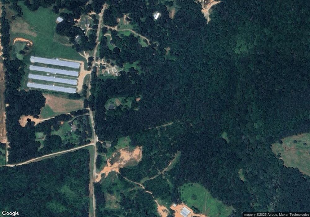
Map
Nearby Homes
- 1718 Ed Bennett Rd
- 130 Levi Trail
- 140 Levi Trail
- 0 Nowhere Ln Unit 10544151
- 10 Red Rose Rd
- 322 Cedar Tree Ln
- 97 Abby Ln
- 310 Sawdust Rd
- 0 US Hwy 441 S Unit 20890220
- 7 Red Rose Rd
- 9 Red Rose Rd
- 1771 Leon Ellis Rd
- 2345 Seagraves Mill Rd
- 425 Bob Holman Rd
- 4419 New Kings Bridge Rd
- 719 Old Athens Dr
- 520 Old Athens Dr
- 2850 Commerce Rd
- 170 Rocky Dr
- 223 Sawdust Trail
- 10099 Highway 334
- 10095 Georgia 334
- 9901 Highway 334
- 0 Asgard Farm Rd Unit 7564520
- 0 Asgard Farm Rd Unit 947588
- 0 Asgard Farm Rd Unit 7518935
- 1079 Asgard Farm Rd
- 0 Asgard Farm Rd
- 399 Asgard Farm Rd
- 9805 Highway 334
- 9830 Georgia 334
- 9830 Highway 334
- 9740 Highway 334
- 10358 Highway 334
- 179 Asgard Farm Rd
- 9739 Highway 334
- 399 Asgard Farms Rd
- 399 Asgard Farms Rd
- 9709 Highway 334
- 179 Asgard Farms Rd