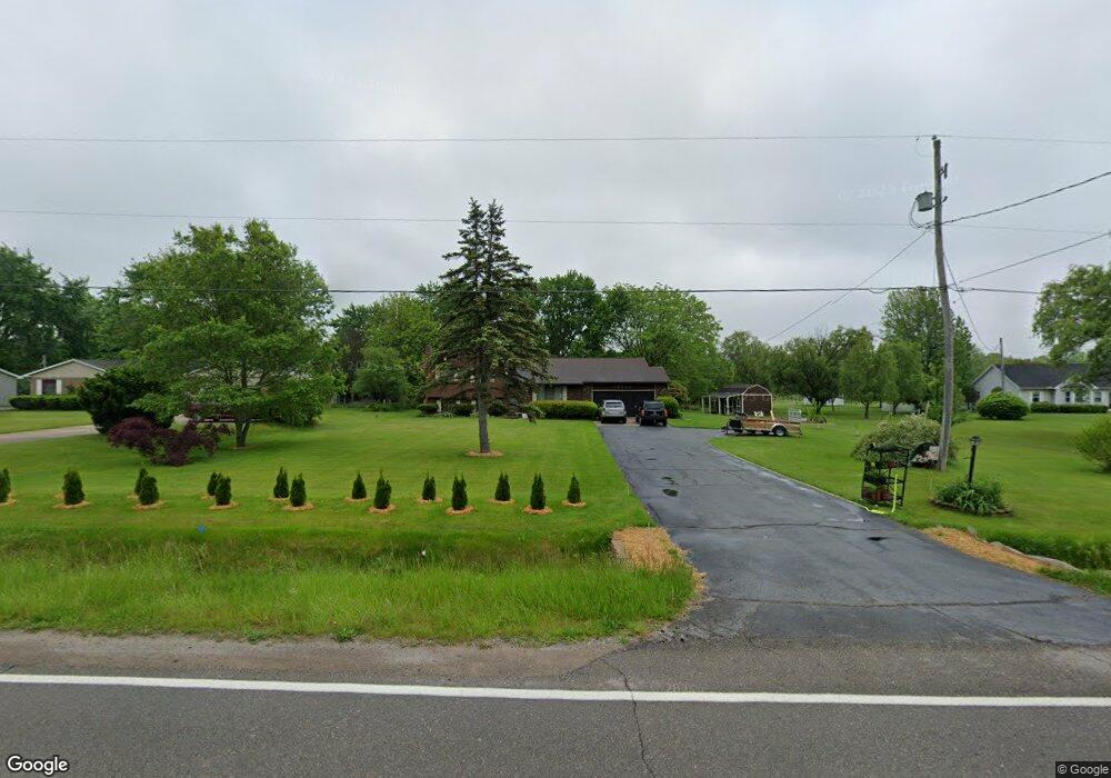
10095 Stanley Rd Flushing, MI 48433
Estimated Value: $282,526 - $327,000
Studio
1
Bath
2,130
Sq Ft
$140/Sq Ft
Est. Value
About This Home
This home is located at 10095 Stanley Rd, Flushing, MI 48433 and is currently estimated at $298,382, approximately $140 per square foot. 10095 Stanley Rd is a home located in Genesee County with nearby schools including Elms Elementary School, Flushing Middle School, and Flushing High School.
Ownership History
Date
Name
Owned For
Owner Type
Purchase Details
Closed on
Mar 9, 2021
Sold by
Sivil Marvin Dale and The Trust Agreement Of Marvin
Bought by
Jones Tyler
Current Estimated Value
Purchase Details
Closed on
May 23, 2017
Sold by
Sivil Lucinda
Bought by
The Trust Agreement Of Marvin Dale Sivil
Home Financials for this Owner
Home Financials are based on the most recent Mortgage that was taken out on this home.
Original Mortgage
$65,000
Interest Rate
3.37%
Mortgage Type
Adjustable Rate Mortgage/ARM
Purchase Details
Closed on
Nov 12, 2013
Sold by
Sivil Marvin Dale
Bought by
Trust Agreement Of Marvin Dale Sivil
Purchase Details
Closed on
Oct 8, 1999
Sold by
Bonardelli Kevin and Bonardelli Karin L
Bought by
Sivil Marvin D and Sivil Lucinda A
Create a Home Valuation Report for This Property
The Home Valuation Report is an in-depth analysis detailing your home's value as well as a comparison with similar homes in the area
Home Values in the Area
Average Home Value in this Area
Purchase History
| Date | Buyer | Sale Price | Title Company |
|---|---|---|---|
| Jones Tyler | $210,000 | Mason Burgess Title Agency | |
| The Trust Agreement Of Marvin Dale Sivil | -- | Transnation Title | |
| Trust Agreement Of Marvin Dale Sivil | -- | None Available | |
| Sivil Marvin D | $3,000 | First American Title Ins Co |
Source: Public Records
Mortgage History
| Date | Status | Borrower | Loan Amount |
|---|---|---|---|
| Previous Owner | The Trust Agreement Of Marvin Dale Sivil | $65,000 |
Source: Public Records
Tax History
| Year | Tax Paid | Tax Assessment Tax Assessment Total Assessment is a certain percentage of the fair market value that is determined by local assessors to be the total taxable value of land and additions on the property. | Land | Improvement |
|---|---|---|---|---|
| 2025 | $4,077 | $134,400 | $0 | $0 |
| 2024 | $2,238 | $130,000 | $0 | $0 |
| 2023 | $2,136 | $119,500 | $0 | $0 |
| 2022 | $3,172 | $106,000 | $0 | $0 |
| 2021 | $2,487 | $99,900 | $0 | $0 |
| 2020 | $1,344 | $94,200 | $0 | $0 |
| 2019 | $1,329 | $85,400 | $0 | $0 |
| 2018 | $2,328 | $74,900 | $0 | $0 |
| 2017 | $1,177 | $74,900 | $0 | $0 |
| 2016 | $2,131 | $71,100 | $0 | $0 |
| 2015 | $1,981 | $69,000 | $0 | $0 |
| 2014 | $1,158 | $65,500 | $0 | $0 |
| 2012 | -- | $62,500 | $62,500 | $0 |
Source: Public Records
Map
Nearby Homes
- 10237 Coldwater Rd
- 9207 N Island Ct Unit 12
- 11186 W Stanley Rd
- 0 N Island Dr Unit 20230029447
- 6355 N Mckinley Rd
- 271 Lovell Ct
- 255 Grissom Ct
- 9031 N Island Dr Unit 29
- 6058 N Mckinley Rd
- 8073 Nichols Rd
- 5315 Chickasaw Trail
- Vacant Land Rd
- Vacant Land Rd
- Vacant Land Rd
- 8454 Wesley Dr
- 8520 Apple Blossom Ln
- 10101 Carpenter Rd
- 8522 Tim Tam Trail
- 8548 Tim Tam Trail
- 11358 W Carpenter Rd Rd
- 10095 W Stanley Rd
- 10087 Stanley Rd
- 10077 Stanley Rd
- 10059 Stanley Rd
- 10139 Stanley Rd
- 10139 W Stanley Rd
- 10049 Stanley Rd
- 10062 Stanley Rd
- 10147 Stanley Rd
- 10136 Stanley Rd
- 10113 Stanley Rd
- 10046 Stanley Rd
- 10146 Stanley Rd
- 10157 W Stanley Rd
- 10157 Stanley Rd
- 10067 Stanley Rd
- 10067 Stanley Rd
- 10156 W Stanley Rd
- 10156 Stanley Rd
- 10036 Stanley Rd
Your Personal Tour Guide
Ask me questions while you tour the home.