100B Middleboro Rd East Freetown, MA 02717
Estimated Value: $483,000 - $548,000
3
Beds
3
Baths
1,600
Sq Ft
$328/Sq Ft
Est. Value
About This Home
This home is located at 100B Middleboro Rd, East Freetown, MA 02717 and is currently estimated at $524,710, approximately $327 per square foot. 100B Middleboro Rd is a home located in Bristol County with nearby schools including Freetown Elementary School, George R Austin Intermediate School, and Freetown-Lakeville Middle School.
Ownership History
Date
Name
Owned For
Owner Type
Purchase Details
Closed on
Jan 20, 2023
Sold by
Davis Jr George A Est and Davis-Legrow
Bought by
Macgregor Connor
Current Estimated Value
Home Financials for this Owner
Home Financials are based on the most recent Mortgage that was taken out on this home.
Original Mortgage
$329,220
Outstanding Balance
$317,798
Interest Rate
6.33%
Mortgage Type
Purchase Money Mortgage
Estimated Equity
$206,912
Purchase Details
Closed on
Aug 29, 1977
Bought by
Davis George A and Davis Phyllis L
Create a Home Valuation Report for This Property
The Home Valuation Report is an in-depth analysis detailing your home's value as well as a comparison with similar homes in the area
Home Values in the Area
Average Home Value in this Area
Purchase History
| Date | Buyer | Sale Price | Title Company |
|---|---|---|---|
| Macgregor Connor | $365,800 | None Available | |
| Davis George A | $52,600 | -- |
Source: Public Records
Mortgage History
| Date | Status | Borrower | Loan Amount |
|---|---|---|---|
| Open | Macgregor Connor | $329,220 | |
| Previous Owner | Davis George A | $32,000 | |
| Previous Owner | Davis George A | $25,000 | |
| Previous Owner | Davis George A | $109,500 |
Source: Public Records
Tax History Compared to Growth
Tax History
| Year | Tax Paid | Tax Assessment Tax Assessment Total Assessment is a certain percentage of the fair market value that is determined by local assessors to be the total taxable value of land and additions on the property. | Land | Improvement |
|---|---|---|---|---|
| 2025 | $4,800 | $484,400 | $201,500 | $282,900 |
| 2024 | $4,768 | $457,100 | $190,000 | $267,100 |
| 2023 | $4,611 | $430,500 | $171,100 | $259,400 |
| 2022 | $4,393 | $364,300 | $144,900 | $219,400 |
| 2021 | $4,211 | $331,600 | $131,800 | $199,800 |
| 2020 | $4,153 | $319,000 | $126,700 | $192,300 |
| 2019 | $4,000 | $304,200 | $126,200 | $178,000 |
| 2018 | $3,801 | $285,600 | $126,200 | $159,400 |
| 2017 | $3,706 | $278,200 | $126,200 | $152,000 |
| 2016 | $3,537 | $270,200 | $122,600 | $147,600 |
| 2015 | $3,448 | $267,300 | $122,600 | $144,700 |
| 2014 | $3,098 | $245,700 | $125,500 | $120,200 |
Source: Public Records
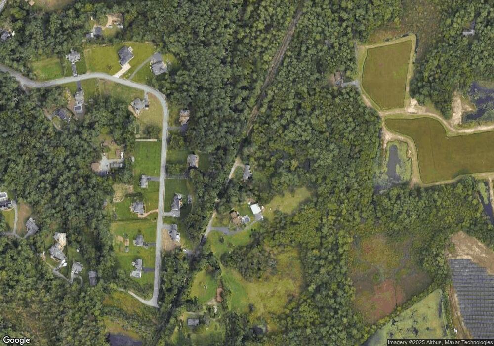
Map
Nearby Homes
- 3 Abraham Ave
- 9 Paul Ave
- 247 Braley Hill Rd
- 269 Middleboro Rd
- 28 Cedar Hill Dr
- 4597 Acushnet Ave
- 168 Keene Rd
- 0 Costa Dr
- 120 Hackett Ave
- 60 Lakeside Ave
- 319 Northwest St
- 0 Keene Rd Unit 73459818
- 1069 Cherokee St
- 16 Swallow St
- 714 Snipatuit Rd
- 13 Luscomb Ln
- 1475 Braley Rd Unit 17
- 199 Quaker Ln
- 50 Blueberry Dr
- 15 Morrison Way