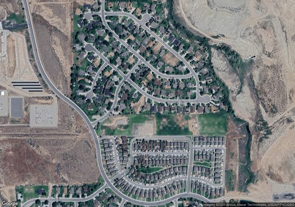
101 Apache Dr Gypsum, CO 81637
Estimated Value: $902,000 - $993,154
5
Beds
3
Baths
3,354
Sq Ft
$281/Sq Ft
Est. Value
About This Home
This home is located at 101 Apache Dr, Gypsum, CO 81637 and is currently estimated at $941,789, approximately $280 per square foot. 101 Apache Dr is a home with nearby schools including Red Hill Elementary School, Gypsum Creek Middle School, and Eagle Valley High School.
Ownership History
Date
Name
Owned For
Owner Type
Purchase Details
Closed on
Jun 15, 2006
Sold by
Roark Partners Lllp
Bought by
Powell John A and Powell Kendra K
Current Estimated Value
Home Financials for this Owner
Home Financials are based on the most recent Mortgage that was taken out on this home.
Original Mortgage
$310,764
Outstanding Balance
$185,753
Interest Rate
6.87%
Mortgage Type
Purchase Money Mortgage
Estimated Equity
$756,036
Create a Home Valuation Report for This Property
The Home Valuation Report is an in-depth analysis detailing your home's value as well as a comparison with similar homes in the area
Purchase History
| Date | Buyer | Sale Price | Title Company |
|---|---|---|---|
| Powell John A | $388,455 | Fahtco |
Source: Public Records
Mortgage History
| Date | Status | Borrower | Loan Amount |
|---|---|---|---|
| Open | Powell John A | $310,764 |
Source: Public Records
Tax History
| Year | Tax Paid | Tax Assessment Tax Assessment Total Assessment is a certain percentage of the fair market value that is determined by local assessors to be the total taxable value of land and additions on the property. | Land | Improvement |
|---|---|---|---|---|
| 2024 | $4,489 | $37,790 | $5,950 | $31,840 |
| 2023 | $4,489 | $37,790 | $5,950 | $31,840 |
| 2022 | $3,447 | $27,260 | $3,130 | $24,130 |
| 2021 | $3,499 | $28,050 | $3,220 | $24,830 |
| 2020 | $3,477 | $28,050 | $3,220 | $24,830 |
| 2019 | $3,474 | $28,050 | $3,220 | $24,830 |
| 2018 | $3,561 | $28,640 | $3,730 | $24,910 |
| 2017 | $3,524 | $28,640 | $3,730 | $24,910 |
| 2016 | $2,337 | $19,880 | $3,220 | $16,660 |
Source: Public Records
Map
Nearby Homes
- 126 Arrowleaf Ave
- 35 Steamboat Dr
- 126 Lakeview Dr
- 188 Spearstone Ave
- 180 Spearstone Ave
- 186 Spearstone Ave
- 353 Steamboat Dr
- 50 Comanche Way
- 129 Arrowleaf Ave
- 112 Lakeview Dr
- 109 Spring Buck Rd
- 465 Blackhawk Rd
- 183 Spearstone Ave
- 89 Blackhawk Rd
- 177 Spearstone Ave
- 172 Spearstone Ave
- 136 Arrowleaf Ave
- 186 Bridger Dr
- 205 Tomahawk Dr
- 107 Spearstone Ave
- 87 Apache Dr
- 73 Apache Dr
- 123 Apache Dr
- 106 Apache Dr
- 90 Apache Dr
- 61 Apache Dr
- 72 Apache Dr
- 124 Apache Dr
- 49 Apache Dr
- 79 Indian Heights Way
- 54 Apache Dr
- 336 Navajo Rd
- 59 Indian Heights Way
- 103 Indian Heights Way
- 101 Indian Heights Way
- 322 Navajo Rd
- 350 Navajo Rd
- 133 Indian Heights Way
- 37 Apache Dr
- 38 Apache Dr
