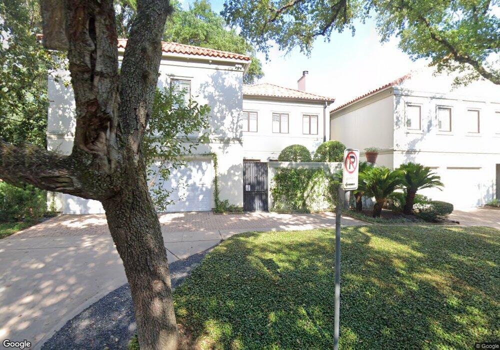
101 Asbury St Houston, TX 77007
Rice Military NeighborhoodEstimated Value: $941,000 - $1,187,000
3
Beds
4
Baths
3,810
Sq Ft
$269/Sq Ft
Est. Value
About This Home
This home is located at 101 Asbury St, Houston, TX 77007 and is currently estimated at $1,025,161, approximately $269 per square foot. 101 Asbury St is a home located in Harris County with nearby schools including Memorial Elementary School, Hogg Middle, and Lamar High School.
Ownership History
Date
Name
Owned For
Owner Type
Purchase Details
Closed on
Feb 21, 2020
Sold by
Sartain Robert C
Bought by
Sartain Robert Carlos and Sartain Robert Carlos
Current Estimated Value
Purchase Details
Closed on
Dec 15, 2006
Sold by
Proffitt Paul Quentin and Proffitt Freddie Sams
Bought by
Sartain Robert C
Home Financials for this Owner
Home Financials are based on the most recent Mortgage that was taken out on this home.
Original Mortgage
$612,000
Outstanding Balance
$365,699
Interest Rate
6.3%
Mortgage Type
Purchase Money Mortgage
Estimated Equity
$659,462
Purchase Details
Closed on
Jul 2, 1998
Sold by
Opus 2 Joint Venture
Bought by
Proffitt Paul Quentin and Proffitt Freddie Sams
Home Financials for this Owner
Home Financials are based on the most recent Mortgage that was taken out on this home.
Original Mortgage
$390,000
Interest Rate
7.12%
Mortgage Type
Construction
Create a Home Valuation Report for This Property
The Home Valuation Report is an in-depth analysis detailing your home's value as well as a comparison with similar homes in the area
Home Values in the Area
Average Home Value in this Area
Purchase History
| Date | Buyer | Sale Price | Title Company |
|---|---|---|---|
| Sartain Robert Carlos | -- | None Available | |
| Sartain Robert C | -- | None Available | |
| Proffitt Paul Quentin | -- | Stewart Title |
Source: Public Records
Mortgage History
| Date | Status | Borrower | Loan Amount |
|---|---|---|---|
| Open | Sartain Robert C | $612,000 | |
| Previous Owner | Proffitt Paul Quentin | $390,000 |
Source: Public Records
Tax History Compared to Growth
Tax History
| Year | Tax Paid | Tax Assessment Tax Assessment Total Assessment is a certain percentage of the fair market value that is determined by local assessors to be the total taxable value of land and additions on the property. | Land | Improvement |
|---|---|---|---|---|
| 2025 | $10,915 | $859,677 | $303,485 | $556,192 |
| 2024 | $10,915 | $914,911 | $303,485 | $611,426 |
| 2023 | $10,915 | $852,617 | $303,485 | $549,132 |
| 2022 | $19,156 | $870,000 | $233,450 | $636,550 |
| 2021 | $17,209 | $738,364 | $233,450 | $504,914 |
| 2020 | $19,351 | $799,087 | $233,450 | $565,637 |
| 2019 | $20,220 | $799,087 | $233,450 | $565,637 |
| 2018 | $13,274 | $785,000 | $186,760 | $598,240 |
| 2017 | $19,849 | $785,000 | $186,760 | $598,240 |
| 2016 | $19,849 | $785,000 | $186,760 | $598,240 |
| 2015 | $14,173 | $785,000 | $186,760 | $598,240 |
| 2014 | $14,173 | $785,000 | $186,760 | $598,240 |
Source: Public Records
Map
Nearby Homes
- 101 Westcott St Unit 1905
- 101 Westcott St Unit 305
- 102 Asbury St Unit 2803
- 102 Asbury St Unit 1704
- 102 Asbury St Unit 2202
- 102 Asbury St Unit 3703
- 102 Asbury St Unit 1003
- 102 Asbury St Unit 1901
- 102 Asbury St Unit 3501
- 207 Malone St
- 6017 Memorial Dr Unit 202
- 6017 Memorial Dr Unit 505
- 6024 Memorial Dr
- 229 Knox St
- 210 Glenwood Dr
- 235 Malone St
- 38 E Bend Ln
- 5612 Lacy St
- 58 E Bend Ln
- 242 Birdsall St