101 Ashmore Ave Trenton, NJ 08611
Chambersburg NeighborhoodEstimated Value: $153,067
--
Bed
--
Bath
2,160
Sq Ft
$71/Sq Ft
Est. Value
About This Home
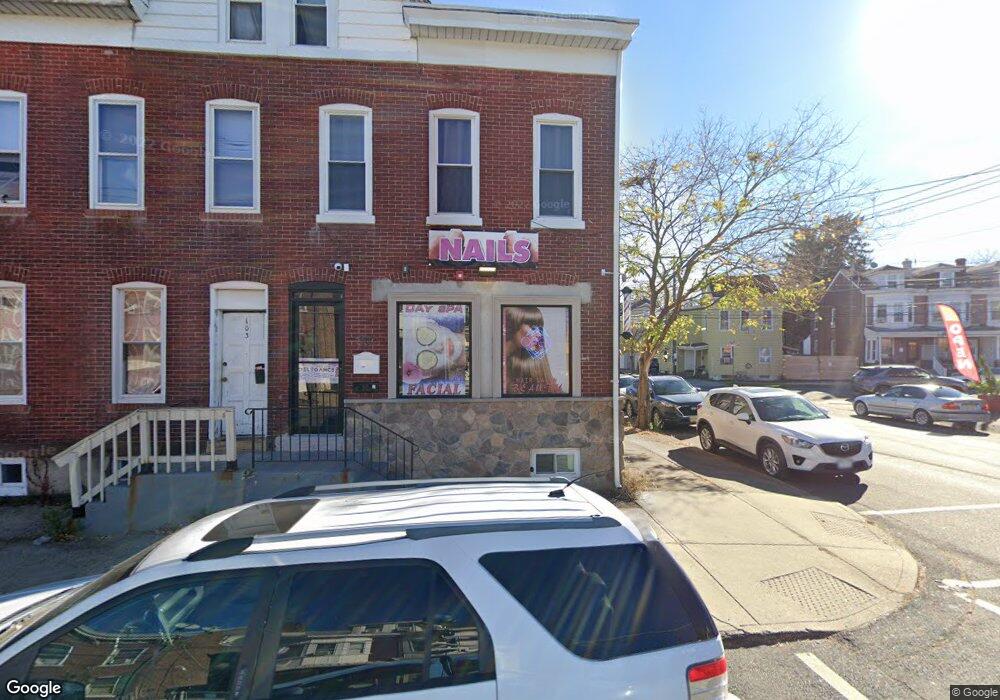
This home is located at 101 Ashmore Ave, Trenton, NJ 08611 and is currently estimated at $153,067, approximately $70 per square foot. 101 Ashmore Ave is a home located in Mercer County with nearby schools including Grant Elementary School, Washington Elementary School, and Grace A Dunn Middle School.
Ownership History
Date
Name
Owned For
Owner Type
Purchase Details
Closed on
Jun 23, 2014
Sold by
Kusnirik Andrew M
Bought by
Urena Properties Llc
Current Estimated Value
Home Financials for this Owner
Home Financials are based on the most recent Mortgage that was taken out on this home.
Original Mortgage
$74,500
Outstanding Balance
$56,645
Interest Rate
4.19%
Mortgage Type
Commercial
Estimated Equity
$96,422
Create a Home Valuation Report for This Property
The Home Valuation Report is an in-depth analysis detailing your home's value as well as a comparison with similar homes in the area
Home Values in the Area
Average Home Value in this Area
Purchase History
| Date | Buyer | Sale Price | Title Company |
|---|---|---|---|
| Urena Properties Llc | $77,500 | Monarch Title Agency Inc |
Source: Public Records
Mortgage History
| Date | Status | Borrower | Loan Amount |
|---|---|---|---|
| Open | Urena Properties Llc | $74,500 |
Source: Public Records
Tax History Compared to Growth
Tax History
| Year | Tax Paid | Tax Assessment Tax Assessment Total Assessment is a certain percentage of the fair market value that is determined by local assessors to be the total taxable value of land and additions on the property. | Land | Improvement |
|---|---|---|---|---|
| 2025 | $5,134 | $96,200 | $22,600 | $73,600 |
| 2024 | $4,927 | $88,500 | $20,800 | $67,700 |
| 2023 | $4,927 | $88,500 | $20,800 | $67,700 |
| 2022 | $4,830 | $88,500 | $20,800 | $67,700 |
| 2021 | $4,914 | $88,500 | $20,800 | $67,700 |
| 2020 | $4,898 | $88,500 | $20,800 | $67,700 |
| 2019 | $4,820 | $88,500 | $20,800 | $67,700 |
| 2018 | $5,015 | $96,200 | $22,600 | $73,600 |
| 2017 | $4,767 | $96,200 | $22,600 | $73,600 |
| 2016 | $3,803 | $66,100 | $12,600 | $53,500 |
| 2015 | $3,790 | $66,100 | $12,600 | $53,500 |
| 2014 | $3,772 | $66,100 | $12,600 | $53,500 |
Source: Public Records
Map
Nearby Homes
- 150 Ashmore Ave
- 724 Division St
- 11 Cummings Ave
- 978 S Broad St
- 327 Woodland St
- 225 Franklin St
- 826 S Clinton Ave
- 127 Kent St
- 1447 S Clinton Ave
- 211 Elm St
- 113 Mifflin St
- 414 Commonwealth Ave
- 1521 S Clinton Ave
- 207 Howell St
- 320 Commonwealth Ave
- 407 Hudson St
- 508 Dayton St
- 315 Hudson St
- 238 Bayard St
- 212 Commonwealth Ave
- 103 Ashmore Ave
- 105 Ashmore Ave
- 107 Ashmore Ave
- 113 Ashmore Ave
- 115 Ashmore Ave
- 511 Division St
- 501 Division St
- 108 Ashmore Ave
- 602 Division St
- 118 Ashmore Ave
- 104 Ashmore Ave
- 106 Ashmore Ave
- 151 Cummings Ave
- 110 Ashmore Ave
- 604 Division St
- 129 Ashmore Ave
- 112 Ashmore Ave
- 147 Cummings Ave
- 211 Cummings Ave
- 114 Ashmore Ave