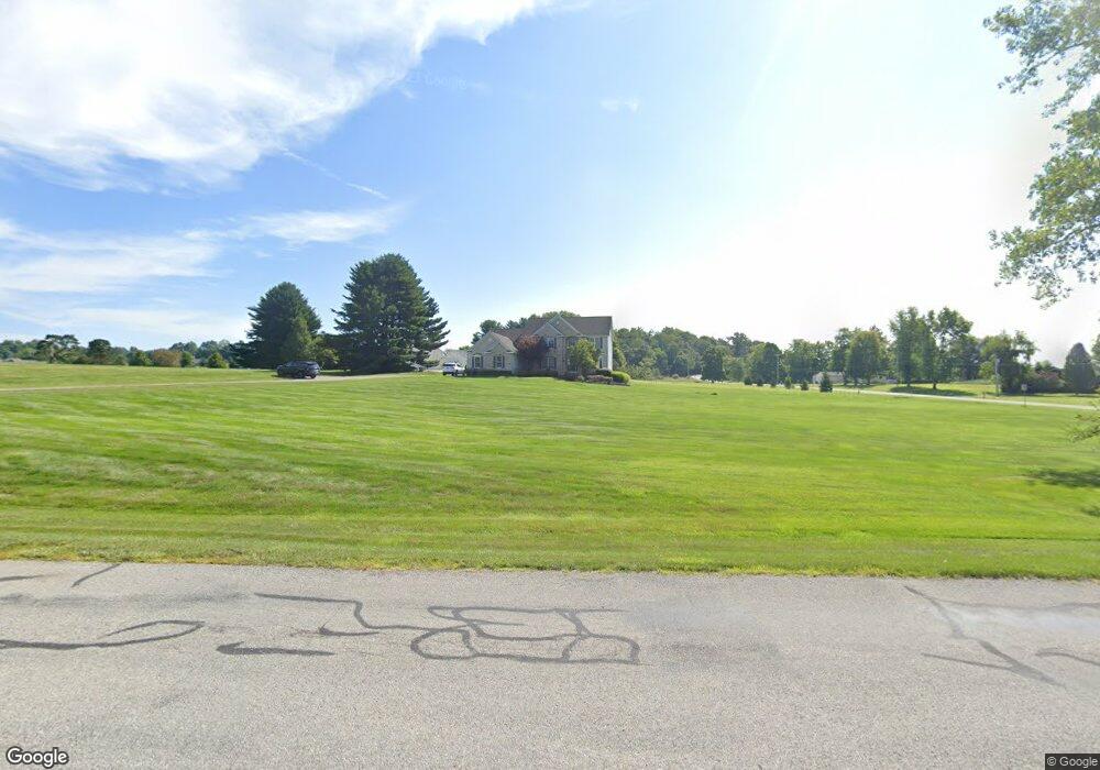
101 Auld Ridge Way Unit Lt 2 Hebron, OH 43025
Union NeighborhoodEstimated Value: $693,000 - $787,000
3
Beds
3
Baths
3,460
Sq Ft
$214/Sq Ft
Est. Value
About This Home
This home is located at 101 Auld Ridge Way Unit Lt 2, Hebron, OH 43025 and is currently estimated at $739,076, approximately $213 per square foot. 101 Auld Ridge Way Unit Lt 2 is a home located in Licking County with nearby schools including Jackson Intermediate School, Lakewood Middle School, and Lakewood High School.
Ownership History
Date
Name
Owned For
Owner Type
Purchase Details
Closed on
Nov 21, 2014
Sold by
Seaton Deena L and Seaton Robert C
Bought by
Seaton Deena L and Deena L Seaton Living Trust
Current Estimated Value
Purchase Details
Closed on
Jul 13, 2005
Sold by
Auld Ridge Development Llc
Bought by
Seaton Robert C and Seaton Deena L
Home Financials for this Owner
Home Financials are based on the most recent Mortgage that was taken out on this home.
Original Mortgage
$337,500
Outstanding Balance
$186,389
Interest Rate
5.69%
Mortgage Type
Fannie Mae Freddie Mac
Estimated Equity
$552,687
Create a Home Valuation Report for This Property
The Home Valuation Report is an in-depth analysis detailing your home's value as well as a comparison with similar homes in the area
Home Values in the Area
Average Home Value in this Area
Purchase History
| Date | Buyer | Sale Price | Title Company |
|---|---|---|---|
| Seaton Deena L | -- | None Available | |
| Seaton Robert C | $67,200 | -- |
Source: Public Records
Mortgage History
| Date | Status | Borrower | Loan Amount |
|---|---|---|---|
| Open | Seaton Robert C | $337,500 |
Source: Public Records
Tax History Compared to Growth
Tax History
| Year | Tax Paid | Tax Assessment Tax Assessment Total Assessment is a certain percentage of the fair market value that is determined by local assessors to be the total taxable value of land and additions on the property. | Land | Improvement |
|---|---|---|---|---|
| 2024 | $7,776 | $193,870 | $38,710 | $155,160 |
| 2023 | $7,798 | $193,870 | $38,710 | $155,160 |
| 2022 | $6,441 | $151,200 | $34,300 | $116,900 |
| 2021 | $6,647 | $151,200 | $34,300 | $116,900 |
| 2020 | $6,887 | $151,200 | $34,300 | $116,900 |
| 2019 | $6,937 | $143,290 | $26,390 | $116,900 |
| 2018 | $6,930 | $0 | $0 | $0 |
| 2017 | $6,988 | $0 | $0 | $0 |
| 2016 | $6,954 | $0 | $0 | $0 |
| 2015 | $6,908 | $0 | $0 | $0 |
| 2014 | $10,544 | $0 | $0 | $0 |
| 2013 | $6,905 | $0 | $0 | $0 |
Source: Public Records
Map
Nearby Homes
- 6651 Lancaster Rd
- 332 Waters Edge
- 59 Squire Ln
- 0 Hayes Rd
- 3343 Hayes Rd
- 1906 Seminary Rd
- 1400 Hayes Rd
- 2241 Seminary Rd SE
- 219 Sycamore Rd
- 1283 Union Station Rd
- 7667 Gale Rd SW
- 7740 Gale Rd SW
- 0 Refugee Rd SE Unit 225031623
- 104 Cumberland Meadows Cir
- 814 W Main St
- 106 Newark St
- 140 Hamilton Ave
- 6753 Outville Rd SW
- 5020 Deeds Rd SW
- 7877 Outville Rd SW
- 101 Auld Ridge
- 111 Auld Ridge
- 111 Auld Ridge Way
- 1862 Blacks Rd SW
- 1993 Blacks Rd SW
- 1965 Blacks Rd SW
- 1875 Blacks Rd SW
- 115 Auld Ridge
- 115 Auld Ridge Way Unit Lt 19
- 115 Auld Ridge Way
- 1852 Blacks Rd SW
- 106 Auld Ridge
- 106 Auld Ridge Way
- 2030 Blacks Rd SW
- 110 Auld Ridge Way
- 110 Auld Ridge Way Unit Lt 17
- 110 Auld Ridge Way
- 118 Auld Ridge Way Unit Lt 16
- 118 Auld Ridge Way
- 2078 Blacks Rd SW