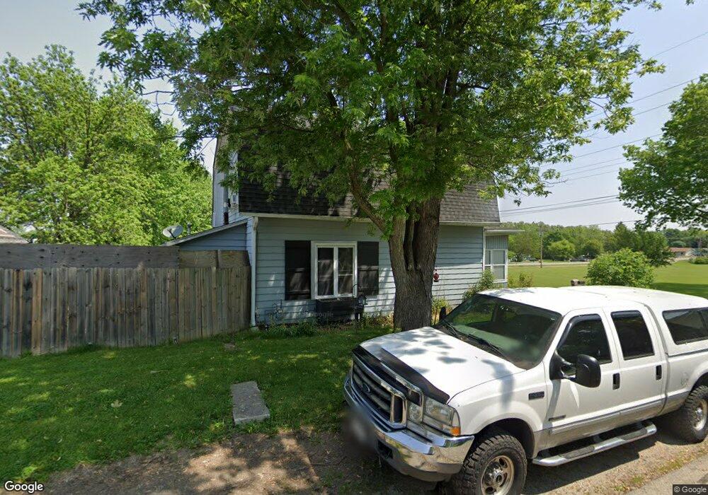
101 Barnett St Ossian, IN 46777
Estimated Value: $167,000 - $185,000
4
Beds
1
Bath
1,320
Sq Ft
$132/Sq Ft
Est. Value
About This Home
This home is located at 101 Barnett St, Ossian, IN 46777 and is currently estimated at $174,690, approximately $132 per square foot. 101 Barnett St is a home located in Wells County with nearby schools including Norwell High School.
Ownership History
Date
Name
Owned For
Owner Type
Purchase Details
Closed on
Feb 28, 2018
Sold by
Fry Joshua J and Fry Kellie L
Bought by
Dorais Jeffrey E and Dorais Gwen A
Current Estimated Value
Purchase Details
Closed on
May 10, 2002
Sold by
Benjamin Vfenstermaker
Bought by
Graft Leonard and Graft Peggy S
Purchase Details
Closed on
Nov 21, 2000
Sold by
Christian Matthew J and Patti Parrish Patti
Bought by
Fenstermaker Benjamin T
Create a Home Valuation Report for This Property
The Home Valuation Report is an in-depth analysis detailing your home's value as well as a comparison with similar homes in the area
Home Values in the Area
Average Home Value in this Area
Purchase History
| Date | Buyer | Sale Price | Title Company |
|---|---|---|---|
| Dorais Jeffrey E | $83,000 | Centurion Land Title | |
| Graft Leonard | $64,000 | -- | |
| Fenstermaker Benjamin T | $65,000 | -- |
Source: Public Records
Tax History Compared to Growth
Tax History
| Year | Tax Paid | Tax Assessment Tax Assessment Total Assessment is a certain percentage of the fair market value that is determined by local assessors to be the total taxable value of land and additions on the property. | Land | Improvement |
|---|---|---|---|---|
| 2024 | $739 | $135,100 | $12,300 | $122,800 |
| 2023 | $634 | $124,200 | $11,300 | $112,900 |
| 2022 | $474 | $104,800 | $11,100 | $93,700 |
| 2021 | $437 | $101,200 | $11,100 | $90,100 |
| 2020 | $331 | $92,400 | $6,200 | $86,200 |
| 2019 | $292 | $85,500 | $6,200 | $79,300 |
| 2018 | $276 | $83,500 | $6,200 | $77,300 |
| 2017 | $256 | $83,300 | $6,200 | $77,100 |
| 2016 | $240 | $80,200 | $6,000 | $74,200 |
| 2014 | $210 | $76,300 | $5,900 | $70,400 |
| 2013 | $197 | $77,200 | $5,900 | $71,300 |
Source: Public Records
Map
Nearby Homes
- 609 Greenwood Trail
- 504 Meadow Ln
- 10221 Indiana 1
- 602 N Metts St
- 801 N Maxine Dr
- TBD 850 N
- TBD E 900 N
- TBD N State Road 1
- 410 Piper Ct
- 406 Piper Ct
- Harmony Plan at Crosswind Lakes
- Chatham Plan at Crosswind Lakes
- 305 Piper Ct
- 3667 E 1000 N
- 3703 E 1000 N
- 10850 N State Road 1
- 4035 E 800 N
- 6936 N State Road 1
- 3421 Yoder Rd
- 4503 W Yoder Rd
- 701 Egber St
- 102 Depot St
- 705 Egber St
- 102 Barnett St
- 110 Barnett St
- 709 W Mill St
- 101 Depot St
- 704 W Lafever St
- 702 W Lafever St
- 708 W Lafever St
- 710 W Lafever St
- 614 W Mill St
- 612 W Lafever St
- 610 W Lafever St
- 608 W Lafever St
- 807 W Mill St
- 606 W Lafever St
- 202 Countryside Dr Unit 204
- 103 N Siebold St
- 813 W Mill St