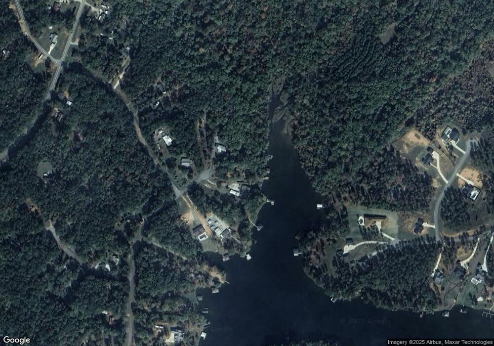
101 Blue Branch Dr Eatonton, GA 31024
Estimated Value: $224,000 - $410,000
3
Beds
2
Baths
1,906
Sq Ft
$157/Sq Ft
Est. Value
About This Home
This home is located at 101 Blue Branch Dr, Eatonton, GA 31024 and is currently estimated at $299,333, approximately $157 per square foot. 101 Blue Branch Dr is a home located in Putnam County with nearby schools including Putnam County Primary School, Putnam County Elementary School, and Putnam County Middle School.
Ownership History
Date
Name
Owned For
Owner Type
Purchase Details
Closed on
Sep 17, 2020
Sold by
Farmer William J
Bought by
Farmer William J and Farmer Darlene
Current Estimated Value
Home Financials for this Owner
Home Financials are based on the most recent Mortgage that was taken out on this home.
Original Mortgage
$70,300
Outstanding Balance
$55,456
Interest Rate
2.9%
Mortgage Type
New Conventional
Estimated Equity
$243,877
Purchase Details
Closed on
Dec 7, 1992
Sold by
Farmer Barber Gene
Bought by
Farmer William J
Purchase Details
Closed on
Sep 21, 1983
Sold by
Banko John J
Bought by
Barger Garth Dewey
Create a Home Valuation Report for This Property
The Home Valuation Report is an in-depth analysis detailing your home's value as well as a comparison with similar homes in the area
Home Values in the Area
Average Home Value in this Area
Purchase History
| Date | Buyer | Sale Price | Title Company |
|---|---|---|---|
| Farmer William J | -- | -- | |
| Farmer William J | -- | -- | |
| Barger Garth Dewey | -- | -- |
Source: Public Records
Mortgage History
| Date | Status | Borrower | Loan Amount |
|---|---|---|---|
| Open | Farmer William J | $70,300 |
Source: Public Records
Tax History Compared to Growth
Tax History
| Year | Tax Paid | Tax Assessment Tax Assessment Total Assessment is a certain percentage of the fair market value that is determined by local assessors to be the total taxable value of land and additions on the property. | Land | Improvement |
|---|---|---|---|---|
| 2024 | $457 | $75,516 | $7,760 | $67,756 |
| 2023 | $457 | $69,280 | $5,100 | $64,180 |
| 2022 | $505 | $54,507 | $4,000 | $50,507 |
| 2021 | $575 | $48,407 | $4,000 | $44,407 |
| 2020 | $610 | $50,247 | $6,000 | $44,247 |
| 2019 | $619 | $38,605 | $6,000 | $32,605 |
| 2018 | $628 | $38,605 | $6,000 | $32,605 |
| 2017 | $549 | $37,804 | $6,000 | $31,804 |
| 2016 | $550 | $37,804 | $6,000 | $31,804 |
| 2015 | $529 | $37,804 | $6,000 | $31,804 |
| 2014 | $528 | $37,804 | $6,000 | $31,804 |
Source: Public Records
Map
Nearby Homes
- 123 Blue Branch Dr
- 519 Twin Bridges Rd SW
- 348 Bluegill Rd
- 211 Sunfish Trail
- 101 W Blue Branch Rd
- Lot 104 Sunfish Trail SW
- 101 W A Bear Creek Rd
- LOT 40 Highpine Dr
- 101 A W Bear Creek Rd
- 128 Sunfish Trail SW
- 121 Sunfish Trail
- 230 Shelton Dr
- 0 Sunfish Trail Unit 10602970
- 100 Tanglewood Rd SW
- 287 Bluegill Rd
- 109 Shelton Ln
- 117 Shelton Ln
- 153 Lakeshore Dr
- 101 Blue Branch Dr Unit 19 & 20
- 101 Blue Branch Dr Unit A
- 101 Blue Branch Dr Unit D
- 0 Blue Branch Dr SW Unit 8390612
- 0 Blue Branch Dr SW Unit 99 8123909
- 103 Blue Branch Dr
- 105 Blue Branch
- 105 Blue Branch Dr
- 0 Blue Branch Dr Unit 7594158
- 0 Blue Branch Dr Unit 8758398
- 119 E Blue Branch Rd
- 100 Blue Branch Dr
- 117 Blue Branch Dr
- 114 Blue Branch Dr
- 119A Blue Branch Ct
- 119 Blue Branch Dr Unit A
- E Blue Branch Rd E
- 102 Bluewater Blvd
- 116 Blue Branch Dr
- 0 Blue Branch Ct Unit 99
