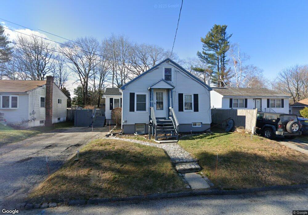
101 Brigham St South Portland, ME 04106
Thornton Heights NeighborhoodEstimated Value: $430,000 - $556,000
3
Beds
2
Baths
1,612
Sq Ft
$298/Sq Ft
Est. Value
About This Home
This home is located at 101 Brigham St, South Portland, ME 04106 and is currently estimated at $480,254, approximately $297 per square foot. 101 Brigham St is a home located in Cumberland County with nearby schools including Waldo T. Skillin Elementary School, Birch Run Progressive High School, and Greater Portland Christian School.
Ownership History
Date
Name
Owned For
Owner Type
Purchase Details
Closed on
May 26, 2010
Sold by
Oxford Private Cap Llc
Bought by
Ramos Maria L and Ramos Norberto L
Current Estimated Value
Home Financials for this Owner
Home Financials are based on the most recent Mortgage that was taken out on this home.
Original Mortgage
$182,631
Outstanding Balance
$121,948
Interest Rate
5.13%
Mortgage Type
FHA
Estimated Equity
$358,306
Purchase Details
Closed on
Aug 13, 2009
Sold by
Bank Of New York Tr
Bought by
Michael Conlon Llc
Home Financials for this Owner
Home Financials are based on the most recent Mortgage that was taken out on this home.
Original Mortgage
$147,000
Interest Rate
5.36%
Mortgage Type
Purchase Money Mortgage
Purchase Details
Closed on
Sep 1, 2005
Sold by
Polchies Natalee E
Bought by
Polchies Natalee E and Polchies Jared A
Create a Home Valuation Report for This Property
The Home Valuation Report is an in-depth analysis detailing your home's value as well as a comparison with similar homes in the area
Home Values in the Area
Average Home Value in this Area
Purchase History
| Date | Buyer | Sale Price | Title Company |
|---|---|---|---|
| Ramos Maria L | -- | -- | |
| Michael Conlon Llc | -- | -- | |
| Polchies Natalee E | -- | -- |
Source: Public Records
Mortgage History
| Date | Status | Borrower | Loan Amount |
|---|---|---|---|
| Open | Michael Conlon Llc | $182,631 | |
| Previous Owner | Michael Conlon Llc | $147,000 |
Source: Public Records
Tax History Compared to Growth
Tax History
| Year | Tax Paid | Tax Assessment Tax Assessment Total Assessment is a certain percentage of the fair market value that is determined by local assessors to be the total taxable value of land and additions on the property. | Land | Improvement |
|---|---|---|---|---|
| 2024 | $4,935 | $373,900 | $170,000 | $203,900 |
| 2023 | $3,867 | $273,500 | $96,200 | $177,300 |
| 2022 | $3,669 | $235,800 | $76,900 | $158,900 |
| 2021 | $3,466 | $235,800 | $76,900 | $158,900 |
| 2020 | $3,342 | $169,200 | $69,900 | $99,300 |
| 2019 | $3,232 | $169,200 | $69,900 | $99,300 |
| 2018 | $3,213 | $173,700 | $69,900 | $103,800 |
| 2017 | $3,127 | $173,700 | $69,900 | $103,800 |
| 2016 | $3,074 | $173,700 | $69,900 | $103,800 |
| 2015 | $3,022 | $173,700 | $69,900 | $103,800 |
| 2014 | $2,799 | $173,700 | $69,900 | $103,800 |
| 2013 | -- | $173,700 | $69,900 | $103,800 |
Source: Public Records
Map
Nearby Homes
- 67 Brigham St
- 7 Kenneth Rd
- 23 Kenneth Rd
- 9 Jamestown Ct
- 18 Plover Way Unit 29
- 24 Plover Way Unit 34
- 17 Plover Way Unit 27
- 15 Plover Way Unit 24
- 16 Plover Way Unit 26
- 20 Plover Way Unit 30
- 22 Plover Way Unit 33
- 14 Plover Way Unit 25
- 21 Plover Way Unit 34
- 1 & 9 Franklin Terrace
- 124 Westbrook St
- 16 Colony Ln
- 26 Grandview Ave
- 23 Aspen Ave
- 46 Burwell Ave
- 56 Peary Terrace