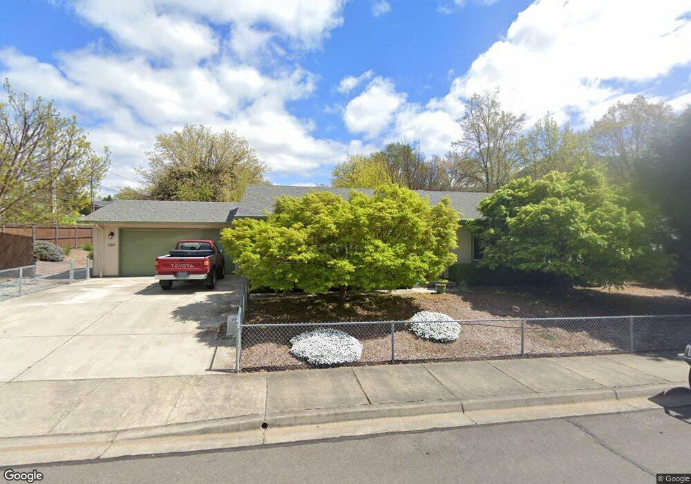
101 Brolin Ct Rogue River, OR 97537
Estimated Value: $382,000 - $445,000
3
Beds
2
Baths
1,704
Sq Ft
$241/Sq Ft
Est. Value
About This Home
This home is located at 101 Brolin Ct, Rogue River, OR 97537 and is currently estimated at $410,742, approximately $241 per square foot. 101 Brolin Ct is a home located in Jackson County with nearby schools including Rogue River Elementary School, South Valley Academy, and Rogue River Junior/Senior High School.
Ownership History
Date
Name
Owned For
Owner Type
Purchase Details
Closed on
Aug 7, 2013
Sold by
Perry Paul L
Bought by
Perry Paul L and Perry Family Trust
Current Estimated Value
Purchase Details
Closed on
Jun 29, 2004
Sold by
Brolin H Duane and Brolin Linda C
Bought by
Perry Paul L
Home Financials for this Owner
Home Financials are based on the most recent Mortgage that was taken out on this home.
Original Mortgage
$114,000
Outstanding Balance
$58,646
Interest Rate
6.27%
Mortgage Type
Construction
Estimated Equity
$352,096
Create a Home Valuation Report for This Property
The Home Valuation Report is an in-depth analysis detailing your home's value as well as a comparison with similar homes in the area
Home Values in the Area
Average Home Value in this Area
Purchase History
| Date | Buyer | Sale Price | Title Company |
|---|---|---|---|
| Perry Paul L | -- | None Available | |
| Perry Paul L | $58,900 | Lawyers Title Ins |
Source: Public Records
Mortgage History
| Date | Status | Borrower | Loan Amount |
|---|---|---|---|
| Open | Perry Paul L | $114,000 |
Source: Public Records
Tax History
| Year | Tax Paid | Tax Assessment Tax Assessment Total Assessment is a certain percentage of the fair market value that is determined by local assessors to be the total taxable value of land and additions on the property. | Land | Improvement |
|---|---|---|---|---|
| 2026 | $2,930 | $204,630 | -- | -- |
| 2025 | $2,837 | $198,670 | $71,670 | $127,000 |
| 2024 | $2,837 | $192,890 | $69,580 | $123,310 |
| 2023 | $2,745 | $187,280 | $67,560 | $119,720 |
| 2022 | $2,681 | $187,280 | $67,560 | $119,720 |
| 2021 | $2,605 | $181,830 | $65,590 | $116,240 |
| 2020 | $2,538 | $176,540 | $63,680 | $112,860 |
| 2019 | $2,477 | $166,410 | $60,020 | $106,390 |
| 2018 | $2,412 | $161,570 | $58,270 | $103,300 |
| 2017 | $2,357 | $161,570 | $58,270 | $103,300 |
| 2016 | $2,298 | $152,310 | $54,920 | $97,390 |
| 2015 | $2,234 | $152,310 | $46,970 | $105,340 |
| 2014 | $2,162 | $143,580 | $44,280 | $99,300 |
Source: Public Records
Map
Nearby Homes
- 105 Brolin Ct
- 101 Cedar Ridge Terrace
- 904 Broadway St Unit 503
- 300 Woodville Way
- 0 Oak St
- 111 Cedar St
- 512 Pine St
- TL 1303 E Main St
- 182 Wards Creek Rd
- 2661 Wards Creek Rd
- 207 Madrone St
- 208 W Main St
- 210 W Main St
- 815 Pine St
- 815 Pine St Unit 10
- 5525 Red Tail Ln
- 5500 Red Tail Ln
- 4794 Foothill Blvd
- 4529 E Evans Creek Rd
- 8401 Rogue River Hwy