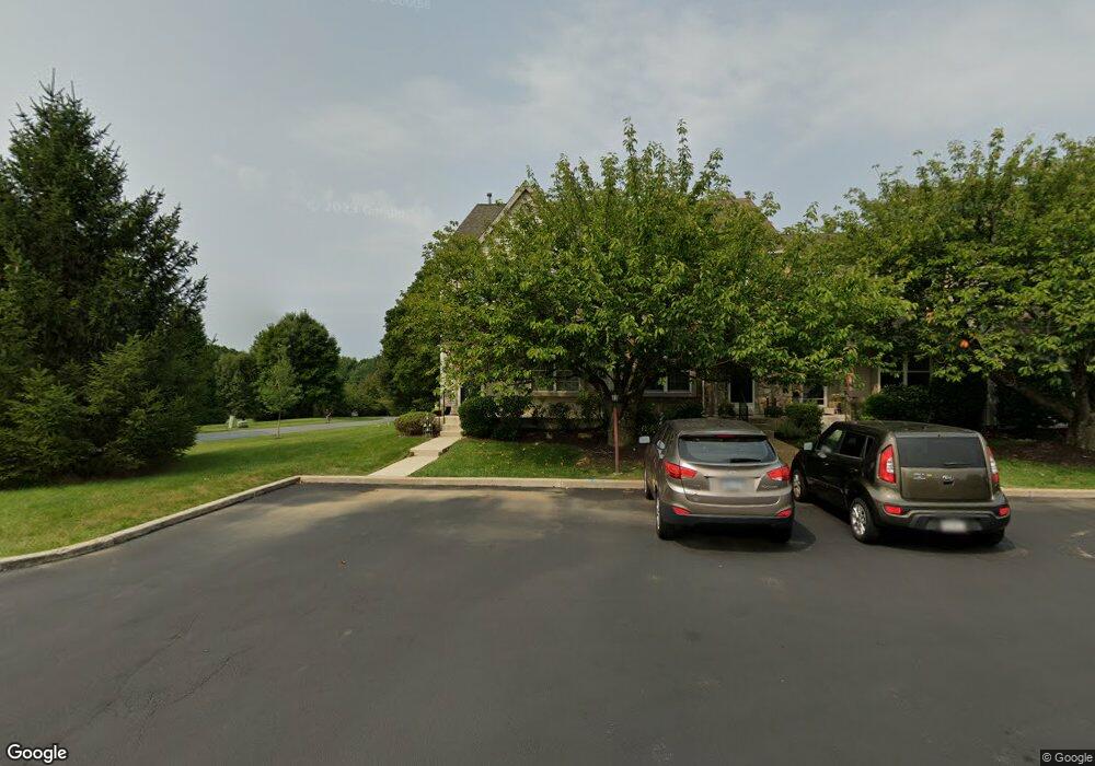
101 Cambridge Cir Unit 50 Kennett Square, PA 19348
Estimated Value: $404,000 - $474,000
4
Beds
3
Baths
1,883
Sq Ft
$229/Sq Ft
Est. Value
About This Home
This home is located at 101 Cambridge Cir Unit 50, Kennett Square, PA 19348 and is currently estimated at $430,310, approximately $228 per square foot. 101 Cambridge Cir Unit 50 is a home located in Chester County with nearby schools including Kennett Middle School, Kennett High School, and St. Patrick School.
Ownership History
Date
Name
Owned For
Owner Type
Purchase Details
Closed on
Jun 30, 1998
Sold by
Grassie Scott A and Grassie Sandra L
Bought by
Ford Barry W and Ford Mary Elizabeth
Current Estimated Value
Home Financials for this Owner
Home Financials are based on the most recent Mortgage that was taken out on this home.
Original Mortgage
$130,850
Outstanding Balance
$26,824
Interest Rate
7.02%
Estimated Equity
$403,486
Purchase Details
Closed on
Sep 29, 1995
Sold by
Rosenthal Edward A and Rosenthal Ginger A
Bought by
Rosenthal Edward A
Create a Home Valuation Report for This Property
The Home Valuation Report is an in-depth analysis detailing your home's value as well as a comparison with similar homes in the area
Home Values in the Area
Average Home Value in this Area
Purchase History
| Date | Buyer | Sale Price | Title Company |
|---|---|---|---|
| Ford Barry W | $134,900 | -- | |
| Rosenthal Edward A | -- | -- |
Source: Public Records
Mortgage History
| Date | Status | Borrower | Loan Amount |
|---|---|---|---|
| Open | Ford Barry W | $130,850 |
Source: Public Records
Tax History Compared to Growth
Tax History
| Year | Tax Paid | Tax Assessment Tax Assessment Total Assessment is a certain percentage of the fair market value that is determined by local assessors to be the total taxable value of land and additions on the property. | Land | Improvement |
|---|---|---|---|---|
| 2025 | $5,289 | $129,700 | $22,330 | $107,370 |
| 2024 | $5,289 | $129,700 | $22,330 | $107,370 |
| 2023 | $5,186 | $129,700 | $22,330 | $107,370 |
| 2022 | $5,048 | $129,700 | $22,330 | $107,370 |
| 2021 | $4,972 | $129,700 | $22,330 | $107,370 |
| 2020 | $4,879 | $129,700 | $22,330 | $107,370 |
| 2019 | $4,814 | $129,700 | $22,330 | $107,370 |
| 2018 | $4,714 | $129,700 | $22,330 | $107,370 |
| 2017 | $4,385 | $129,700 | $22,330 | $107,370 |
| 2016 | $514 | $129,700 | $22,330 | $107,370 |
| 2015 | $514 | $129,700 | $22,330 | $107,370 |
| 2014 | $514 | $129,700 | $22,330 | $107,370 |
Source: Public Records
Map
Nearby Homes
- 152 Brandywine Ct Unit 128
- 105 Sassafras Dr
- 280 Cherry Ln Unit 34
- 736 Cascade Way
- 51 Ways Ln
- The Franklin Plan at Kennett Pointe
- 135 Waywood Dr
- 113 Waywood Dr Unit 32
- 110 Pierce Ln
- 24 W Jonathan Ct
- 10103 Beacon St
- 10104 Beacon St
- 107 Indian Springs Rd
- 10101 Beacon St
- 10102 Beacon St
- 105 Waywood Dr
- 24 Radnor Ln
- 10103 Louie Ln
- 10102 Louie Ln
- 10104 Louie Ln
- 103 Cambridge Cir Unit 49
- 105 Cambridge Cir Unit 49
- 107 Cambridge Cir Unit 47
- 107 Cambridge Cir Unit 50
- 102 Cambridge Cir
- 115 Cambridge Cir Unit 51
- 113 Cambridge Cir Unit 52
- 2 Regents Ct
- 111 Cambridge Cir Unit 53
- 109 Cambridge Cir Unit 54
- 150 Brandywine Ct Unit 127
- 154 Brandywine Ct
- 154 Brandywine Ct Unit 129
- 156 Brandywine Ct
- 156 Brandywine Ct Unit 130
- 4 Regents Ct
- 158 Brandywine Ct Unit 131
- 160 Brandywine Ct Unit 132
- 127 Concord Ct
- 127 Concord Ct Unit 55